Estimated Value: $223,191 - $297,000
--
Bed
2
Baths
1,512
Sq Ft
$178/Sq Ft
Est. Value
About This Home
This home is located at 210 Bomba Ln, Dover, TN 37058 and is currently estimated at $269,548, approximately $178 per square foot. 210 Bomba Ln is a home located in Stewart County with nearby schools including Dover Elementary School, Stewart County Middle School, and Stewart County High School.
Ownership History
Date
Name
Owned For
Owner Type
Purchase Details
Closed on
Apr 14, 2020
Sold by
Bomba Debra A
Bought by
Bomba Christopher A
Current Estimated Value
Purchase Details
Closed on
Oct 7, 1999
Bought by
Bomba Vincent S and Bomba Debra A
Purchase Details
Closed on
Jun 10, 1985
Bought by
Bomba Vincent S
Purchase Details
Closed on
Dec 11, 1980
Purchase Details
Closed on
Jan 1, 1980
Create a Home Valuation Report for This Property
The Home Valuation Report is an in-depth analysis detailing your home's value as well as a comparison with similar homes in the area
Home Values in the Area
Average Home Value in this Area
Purchase History
| Date | Buyer | Sale Price | Title Company |
|---|---|---|---|
| Bomba Christopher A | -- | None Available | |
| Bomba Vincent S | -- | -- | |
| Bomba Vincent S | -- | -- | |
| -- | -- | -- | |
| -- | $3,000 | -- |
Source: Public Records
Tax History Compared to Growth
Tax History
| Year | Tax Paid | Tax Assessment Tax Assessment Total Assessment is a certain percentage of the fair market value that is determined by local assessors to be the total taxable value of land and additions on the property. | Land | Improvement |
|---|---|---|---|---|
| 2024 | $669 | $45,000 | $6,125 | $38,875 |
| 2023 | $640 | $27,125 | $4,075 | $23,050 |
| 2022 | $640 | $27,125 | $4,075 | $23,050 |
| 2021 | $640 | $27,125 | $4,075 | $23,050 |
| 2020 | $737 | $27,125 | $4,075 | $23,050 |
| 2019 | $745 | $29,225 | $4,400 | $24,825 |
| 2018 | $745 | $29,225 | $4,400 | $24,825 |
| 2017 | $745 | $29,225 | $4,400 | $24,825 |
| 2016 | $745 | $29,225 | $4,400 | $24,825 |
| 2015 | $722 | $29,225 | $4,400 | $24,825 |
| 2014 | $760 | $29,225 | $4,400 | $24,825 |
| 2013 | $760 | $30,772 | $0 | $0 |
Source: Public Records
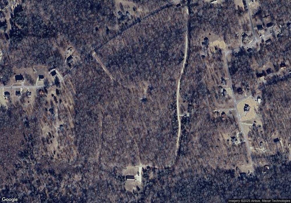
Map
Nearby Homes
- 120 Ginger Dr
- 314 Ginger Dr
- 7 Ginger Dr
- 9 Ginger Dr
- 408 Sandy Rd
- 1 Indian Creek Rd
- 128 Sagebrush Way
- 0 Saddleback Dr Unit RTC3014244
- 0 Sagebrush Way Unit RTC3016071
- 0 Topside Dr Unit RTC2938813
- 231 Valley View Rd
- 329 Valley View Rd
- Donelson Pkwy Rt 79 and 232
- 105 General Rice St
- 333 Main St
- 1 Church St
- 0 Lakeshore Dr
- 111 Lakeshore Dr
- 232 Church St
- 1 Lakeshore Dr
- 230 Nelson Cir
- 156 Nelson Cir
- 306 Ginger Dr
- 222 Ginger Dr
- 307 Wynns Ferry Rd
- 110 Ginger Dr
- 324 Wynns Ferry Rd
- 285 Wynns Ferry Rd
- 319 Wynns Ferry Rd
- 105 Ginger Ct
- 305 Ginger Dr
- 334 Wynns Ferry Rd
- 211 Neville Dr
- 270 Wynns Ferry Rd
- 333 Wynns Ferry Rd
- 311 Ginger Dr
- 336 Wynns Ferry Rd
- 205 Neville Dr
- 117 Ginger Ct
- 0 Ginger Ct