Estimated Value: $74,000 - $335,000
1
Bed
2
Baths
600
Sq Ft
$257/Sq Ft
Est. Value
About This Home
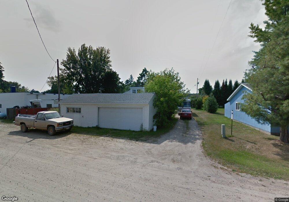
This home is located at 210 Bridge St Unit Hwy 2, Warba, MN 55793 and is currently estimated at $154,104, approximately $256 per square foot. 210 Bridge St Unit Hwy 2 is a home located in Itasca County with nearby schools including West Rapids Elementary School, Robert J. Elkington Middle School, and Grand Rapids Senior High School.
Ownership History
Date
Name
Owned For
Owner Type
Purchase Details
Closed on
Oct 8, 2020
Sold by
Figgins William F and Figgins Catherine D
Bought by
Aho Duane E
Current Estimated Value
Home Financials for this Owner
Home Financials are based on the most recent Mortgage that was taken out on this home.
Original Mortgage
$42,400
Outstanding Balance
$37,713
Interest Rate
2.9%
Mortgage Type
New Conventional
Estimated Equity
$116,391
Purchase Details
Closed on
Jul 28, 2015
Sold by
Figgins William F and Figgins Catherine D
Bought by
Bland Kenneth Dale and Bland Shirlene Iris
Purchase Details
Closed on
Oct 26, 2012
Sold by
Grand Rapids State Bank
Bought by
Figgins William F and Figgins Catherine D
Purchase Details
Closed on
Apr 27, 2010
Sold by
Lebegue Donald H and Lebegue Sandra J
Bought by
Grand Rapids State Bank
Create a Home Valuation Report for This Property
The Home Valuation Report is an in-depth analysis detailing your home's value as well as a comparison with similar homes in the area
Home Values in the Area
Average Home Value in this Area
Purchase History
| Date | Buyer | Sale Price | Title Company |
|---|---|---|---|
| Aho Duane E | $53,000 | None Available | |
| Bland Kenneth Dale | $59,000 | None Available | |
| Figgins William F | $3,000 | None Available | |
| Grand Rapids State Bank | -- | None Available |
Source: Public Records
Mortgage History
| Date | Status | Borrower | Loan Amount |
|---|---|---|---|
| Open | Aho Duane E | $42,400 |
Source: Public Records
Tax History Compared to Growth
Tax History
| Year | Tax Paid | Tax Assessment Tax Assessment Total Assessment is a certain percentage of the fair market value that is determined by local assessors to be the total taxable value of land and additions on the property. | Land | Improvement |
|---|---|---|---|---|
| 2024 | $310 | $68,300 | $4,800 | $63,500 |
| 2023 | $310 | $68,300 | $4,800 | $63,500 |
| 2022 | $284 | $68,300 | $4,800 | $63,500 |
| 2021 | $282 | $54,600 | $4,800 | $49,800 |
| 2020 | $332 | $54,600 | $4,800 | $49,800 |
| 2019 | $306 | $54,600 | $4,800 | $49,800 |
| 2018 | $248 | $54,600 | $4,800 | $49,800 |
| 2017 | $240 | $0 | $0 | $0 |
| 2016 | $202 | $0 | $0 | $0 |
| 2015 | $898 | $0 | $0 | $0 |
| 2014 | -- | $0 | $0 | $0 |
Source: Public Records
Map
Nearby Homes
- 21300 Shallow Lake Rd
- 17801 County Road 433
- TBD Sago 5
- Tbd Sago 5
- 18863 State Highway 65
- 18863 Minnesota 65
- TBD Rd
- 25244 Mccloud Rd
- 22538 County Road 453
- 24147 Maple Dr W
- 13994 County Road 425
- TBD County Road 427
- 14730 County Road 25
- 18686 State Highway 200
- 18128 Badger Rd
- 25 Itasca County 25
- 27176 Birch Dr
- 18300 672nd Ln
- 29969 Sunny Beach Rd
- Lot 3 BLK 2 Kathryn Kathryn Ave
- 210 Bridge Street Hwy 2
- 210 Bridge St Unit 2741
- 210 Bridge St
- 69 N 2nd Ave
- 207 Bridge St
- TBD NE Hwy 2
- 109 2nd Ave
- TBD County Road 456
- TBD (Lot D) U S Highway 2
- TBD (Lot C) U S Highway 2
- 46 N 3rd Ave
- 79 N 2nd Ave
- 131 2nd Ave
- 116 Bridge St
- 78 3rd Ave
- 112 Bridge St
- 109 Grand St
- 113 Bridge St
- 30 3rd Ave
- 133 2nd Ave