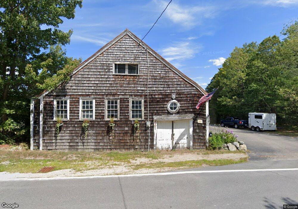
210 Browns Ridge Rd Ossipee, NH 03864
Estimated Value: $542,000 - $603,000
3
Beds
3
Baths
2,608
Sq Ft
$218/Sq Ft
Est. Value
About This Home
This home is located at 210 Browns Ridge Rd, Ossipee, NH 03864 and is currently estimated at $568,061, approximately $217 per square foot. 210 Browns Ridge Rd is a home located in Carroll County with nearby schools including Ossipee Central School, Kingswood Regional Middle School, and Kingswood Regional High School.
Ownership History
Date
Name
Owned For
Owner Type
Purchase Details
Closed on
May 14, 2010
Sold by
Batchelder Brian A and Batchelder Kathleen M
Bought by
Dalpe Dean A and Dalpe Barbara A
Current Estimated Value
Home Financials for this Owner
Home Financials are based on the most recent Mortgage that was taken out on this home.
Original Mortgage
$180,800
Outstanding Balance
$121,539
Interest Rate
5.11%
Mortgage Type
Purchase Money Mortgage
Estimated Equity
$446,522
Create a Home Valuation Report for This Property
The Home Valuation Report is an in-depth analysis detailing your home's value as well as a comparison with similar homes in the area
Home Values in the Area
Average Home Value in this Area
Purchase History
| Date | Buyer | Sale Price | Title Company |
|---|---|---|---|
| Dalpe Dean A | $226,000 | -- |
Source: Public Records
Mortgage History
| Date | Status | Borrower | Loan Amount |
|---|---|---|---|
| Open | Dalpe Dean A | $180,800 |
Source: Public Records
Tax History Compared to Growth
Tax History
| Year | Tax Paid | Tax Assessment Tax Assessment Total Assessment is a certain percentage of the fair market value that is determined by local assessors to be the total taxable value of land and additions on the property. | Land | Improvement |
|---|---|---|---|---|
| 2024 | $5,573 | $480,400 | $154,300 | $326,100 |
| 2023 | $5,034 | $485,400 | $159,300 | $326,100 |
| 2022 | $4,839 | $263,300 | $52,300 | $211,000 |
| 2021 | $4,625 | $252,300 | $52,300 | $200,000 |
| 2020 | $4,302 | $252,300 | $52,300 | $200,000 |
| 2019 | $4,317 | $252,300 | $52,300 | $200,000 |
| 2018 | $4,343 | $208,800 | $39,000 | $169,800 |
| 2016 | $3,812 | $197,500 | $39,000 | $158,500 |
| 2015 | $3,620 | $197,500 | $39,000 | $158,500 |
| 2014 | $4,024 | $223,300 | $55,600 | $167,700 |
| 2013 | $3,883 | $223,300 | $55,600 | $167,700 |
Source: Public Records
Map
Nearby Homes
- Map 25-6 Upper Trask Mountain Rd
- 4 Brookwood Dr
- 1 Hawthorne Rd
- 85 Old Granite Rd
- 45 Old Granite Rd
- 7 Hawthorne Rd
- 13 Wellington Ct
- 11 Wellington Ct
- 5 Wellington Ct
- 5 Trask Mountain Rd
- 6 Wellington Ct
- 22 Hawthorne Rd
- 20 Hawthorne Rd
- 00B Route 16
- 954 Route 16
- 730 Browns Ridge Rd
- 33 Sky Ln
- Lot 20.3(TM4) John Hodgdon Rd
- Map 86 L 5 Haines Hill Rd
- 16 Isaac Buswell Rd
- 220 Browns Ridge Rd
- 241 Browns Ridge Rd
- 215 Browns Ridge Rd
- 230 Browns Ridge Rd
- 2 Northfield Dr
- 5 Youngs Rd
- 275 Browns Ridge Rd
- 4 Youngs Rd
- 50 Stoneview Rd
- 46 Stoneview Rd
- 383 Browns Ridge Rd
- 4 Stoneview Rd
- 3 Stoneview Rd
- 52 Stoneview Rd
- 6 Stoneview Rd
- 5 Stoneview Rd
- 51 Stoneview Rd
- 55 Stoneview Rd
- 397 Browns Ridge Rd
- 170 Browns Ridge Rd