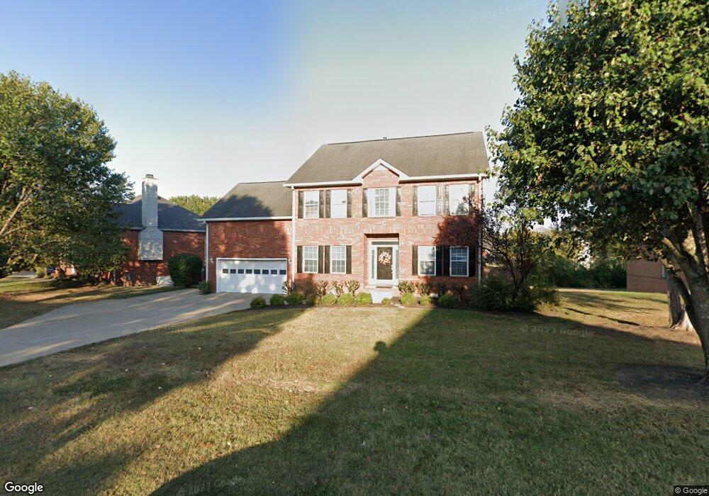
210 Cedar Forest Dr Smyrna, TN 37167
Estimated Value: $468,077 - $535,000
--
Bed
3
Baths
2,579
Sq Ft
$193/Sq Ft
Est. Value
About This Home
This home is located at 210 Cedar Forest Dr, Smyrna, TN 37167 and is currently estimated at $497,269, approximately $192 per square foot. 210 Cedar Forest Dr is a home located in Rutherford County with nearby schools including Rocky Fork Elementary School, Rocky Fork Middle School, and Smyrna High School.
Ownership History
Date
Name
Owned For
Owner Type
Purchase Details
Closed on
Apr 7, 2020
Sold by
Roubik Steven J and Roubik Betsy L
Bought by
Roubik Steven John and Roubik Betsy Lynn
Current Estimated Value
Purchase Details
Closed on
Sep 12, 1997
Sold by
Mitchell Robert T and Mitchell Chante
Bought by
Roubik and Betsy
Purchase Details
Closed on
Jan 9, 1997
Sold by
Calcote Hal E
Bought by
Mitchell Robert T and Mitchell Chante
Purchase Details
Closed on
Jan 19, 1996
Bought by
Calcote Hal E
Purchase Details
Closed on
Nov 2, 1995
Sold by
Radnor Development Corp
Bought by
Radnor Homes Inc
Create a Home Valuation Report for This Property
The Home Valuation Report is an in-depth analysis detailing your home's value as well as a comparison with similar homes in the area
Home Values in the Area
Average Home Value in this Area
Purchase History
| Date | Buyer | Sale Price | Title Company |
|---|---|---|---|
| Roubik Steven John | -- | None Available | |
| Roubik | $155,750 | -- | |
| Mitchell Robert T | $159,900 | -- | |
| Calcote Hal E | $20,000 | -- | |
| Radnor Homes Inc | $148,500 | -- |
Source: Public Records
Tax History Compared to Growth
Tax History
| Year | Tax Paid | Tax Assessment Tax Assessment Total Assessment is a certain percentage of the fair market value that is determined by local assessors to be the total taxable value of land and additions on the property. | Land | Improvement |
|---|---|---|---|---|
| 2025 | -- | $98,350 | $13,750 | $84,600 |
| 2024 | -- | $98,350 | $13,750 | $84,600 |
| 2023 | $2,362 | $98,350 | $13,750 | $84,600 |
| 2022 | $2,107 | $98,350 | $13,750 | $84,600 |
| 2021 | $1,988 | $68,100 | $12,500 | $55,600 |
| 2020 | $1,988 | $68,100 | $12,500 | $55,600 |
| 2019 | $1,988 | $68,100 | $12,500 | $55,600 |
| 2018 | $1,907 | $68,100 | $0 | $0 |
| 2017 | $1,907 | $53,500 | $0 | $0 |
| 2016 | $1,907 | $53,500 | $0 | $0 |
| 2015 | $1,907 | $53,500 | $0 | $0 |
| 2014 | $1,330 | $53,500 | $0 | $0 |
| 2013 | -- | $56,150 | $0 | $0 |
Source: Public Records
Map
Nearby Homes
- 407 Shadowood Dr
- 508 Spinnaker Ct
- 505 Spinnaker Ct
- 107 Irish Place
- 115 Saint Michaels Ln
- 421 Saint Francis Ave
- 806 Enon Springs Rd W
- 499 Williamsport Dr
- 143 Stokes Dr
- 520 Mcgrath Dr
- 1102 Forestwood Ct
- 508 Williamsport Dr
- 502 Saint Francis Ave
- 0 Bonifay Dr
- 304 Short Ct
- 400 Megan Dr
- 208 Richland Ave
- 101 Annleeken Dr
- 1307 Talia Trace Plan at Talia Trace
- 1781-3 Talia Trace Town Home Plan at Talia Trace
- 208 Cedar Forest Dr
- 212 Cedar Forest Dr
- 411 Shadowood Dr
- 206 Cedar Forest Dr
- 409 Shadowood Dr
- 211 Cedar Forest Dr
- 209 Cedar Forest Dr
- 213 Cedar Forest Dr
- 207 Cedar Forest Dr
- 204 Cedar Forest Dr
- 418 Shadowood Dr
- 416 Shadowood Dr
- 420 Shadowood Dr
- 205 Cedar Forest Dr
- 503 Shadowood Dr
- 405 Shadowood Dr
- 414 Shadowood Dr
- 384 Saint Francis Ave
- 382 Saint Francis Ave
- 500 Shadowood Dr