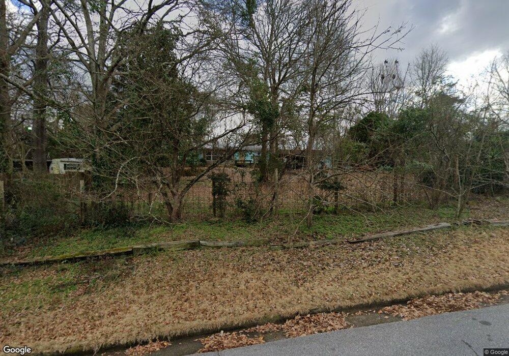
210 Conrad Dr Athens, GA 30601
North Avenue NeighborhoodEstimated Value: $215,000 - $300,000
3
Beds
1
Bath
1,032
Sq Ft
$248/Sq Ft
Est. Value
About This Home
This home is located at 210 Conrad Dr, Athens, GA 30601 and is currently estimated at $255,579, approximately $247 per square foot. 210 Conrad Dr is a home located in Clarke County with nearby schools including Howard B. Stroud Elementary School, Coile Middle School, and Cedar Shoals High School.
Ownership History
Date
Name
Owned For
Owner Type
Purchase Details
Closed on
Aug 31, 2011
Sold by
Wells Fargo Bank
Bought by
Rich Audra N
Current Estimated Value
Home Financials for this Owner
Home Financials are based on the most recent Mortgage that was taken out on this home.
Original Mortgage
$36,789
Outstanding Balance
$26,175
Interest Rate
5.25%
Mortgage Type
FHA
Estimated Equity
$229,404
Purchase Details
Closed on
Feb 1, 2011
Sold by
Jewell Charlie
Bought by
Wells Fargo Bank Na S/B/M/T Wachovia Ba
Create a Home Valuation Report for This Property
The Home Valuation Report is an in-depth analysis detailing your home's value as well as a comparison with similar homes in the area
Home Values in the Area
Average Home Value in this Area
Purchase History
| Date | Buyer | Sale Price | Title Company |
|---|---|---|---|
| Rich Audra N | $31,900 | -- | |
| Wells Fargo Bank Na S/B/M/T Wachovia Ba | $55,700 | -- |
Source: Public Records
Mortgage History
| Date | Status | Borrower | Loan Amount |
|---|---|---|---|
| Open | Rich Audra N | $36,789 |
Source: Public Records
Tax History
| Year | Tax Paid | Tax Assessment Tax Assessment Total Assessment is a certain percentage of the fair market value that is determined by local assessors to be the total taxable value of land and additions on the property. | Land | Improvement |
|---|---|---|---|---|
| 2025 | $1,688 | $71,162 | $18,000 | $53,162 |
| 2024 | $1,688 | $68,932 | $18,000 | $50,932 |
| 2023 | $872 | $62,914 | $18,000 | $44,914 |
| 2022 | $1,292 | $50,512 | $14,000 | $36,512 |
| 2021 | $1,047 | $41,069 | $12,000 | $29,069 |
| 2020 | $912 | $37,064 | $11,200 | $25,864 |
| 2019 | $744 | $31,904 | $11,200 | $20,704 |
| 2018 | $702 | $30,688 | $10,400 | $20,288 |
| 2017 | $522 | $25,382 | $10,400 | $14,982 |
| 2016 | $848 | $24,965 | $10,400 | $14,565 |
| 2015 | $849 | $24,965 | $10,400 | $14,565 |
| 2014 | $850 | $24,966 | $10,400 | $14,566 |
Source: Public Records
Map
Nearby Homes
- 190 Conrad Dr
- 455 Ruth St
- 211 North Ave Unit 1225
- 211 North Ave Unit 1334
- 211 North Ave
- 211 North Ave Unit 1227
- 464 Ruth St
- 118 Ruth Dr Unit 610
- 118 Ruth Dr Unit 130
- 118 Ruth Dr Unit 140
- 118 Ruth Dr Unit 310
- 239 Madison Heights
- 249 Fifth St
- 225 Fourth St
- 390 Athens Ave
- 860 College Ave
- 447 Rosa Nell Howard St
- 668 Pulaski St
- 495 Boley Dr
- 940 College Ave
Your Personal Tour Guide
Ask me questions while you tour the home.