Estimated Value: $1,230,000 - $1,592,917
4
Beds
2
Baths
2,678
Sq Ft
$539/Sq Ft
Est. Value
About This Home
This home is located at 210 Davis Creek Ln, Libby, MT 59923 and is currently estimated at $1,443,306, approximately $538 per square foot. 210 Davis Creek Ln is a home with nearby schools including Libby Elementary School and Libby High School.
Ownership History
Date
Name
Owned For
Owner Type
Purchase Details
Closed on
Sep 13, 2013
Sold by
Gilman Matthew R
Bought by
Gilman Martin E and Gilman Susan C
Current Estimated Value
Purchase Details
Closed on
Sep 12, 2013
Sold by
Gilman Martin E and Gilman Susan C
Bought by
Gilman Martin E and Gilman Susan C
Purchase Details
Closed on
Sep 7, 2013
Sold by
Gilman Michael J
Bought by
Gilman Martin E and Gilman Susan C
Purchase Details
Closed on
Sep 6, 2013
Sold by
Wilson Constance M and Bjelland Constance M
Bought by
Gilman Martin E and Gilman Susan C
Purchase Details
Closed on
Aug 26, 2013
Sold by
Bentzinger Elaine M
Bought by
Gilman Martin E and Gilman Susan C
Purchase Details
Closed on
Feb 8, 2007
Sold by
Dean Pierson and Dean Glenda P
Bought by
Gilman Martin E and Gilman Susan C
Create a Home Valuation Report for This Property
The Home Valuation Report is an in-depth analysis detailing your home's value as well as a comparison with similar homes in the area
Home Values in the Area
Average Home Value in this Area
Purchase History
| Date | Buyer | Sale Price | Title Company |
|---|---|---|---|
| Gilman Martin E | -- | Lincoln County Title & Escro | |
| Gilman Martin E | -- | Lincoln County Title Co | |
| Gilman Martin E | -- | Lincoln County Title & Escro | |
| Gilman Martin E | -- | Lincoln County Title Co | |
| Gilman Martin E | -- | Lincoln County Title Co | |
| Gilman Martin E | -- | Lincoln County Title Co |
Source: Public Records
Tax History Compared to Growth
Tax History
| Year | Tax Paid | Tax Assessment Tax Assessment Total Assessment is a certain percentage of the fair market value that is determined by local assessors to be the total taxable value of land and additions on the property. | Land | Improvement |
|---|---|---|---|---|
| 2025 | $4,620 | $1,242,800 | $0 | $0 |
| 2024 | $5,958 | $1,166,600 | $0 | $0 |
| 2023 | $7,366 | $1,166,600 | $0 | $0 |
| 2022 | $3,788 | $654,610 | $0 | $0 |
| 2021 | $4,759 | $654,610 | $0 | $0 |
| 2020 | $4,901 | $627,800 | $0 | $0 |
| 2019 | $4,859 | $627,800 | $0 | $0 |
| 2018 | $4,450 | $556,400 | $0 | $0 |
| 2017 | $4,012 | $556,400 | $0 | $0 |
| 2016 | $3,786 | $479,100 | $0 | $0 |
| 2015 | $2,666 | $479,100 | $0 | $0 |
| 2014 | $3,698 | $333,540 | $0 | $0 |
Source: Public Records
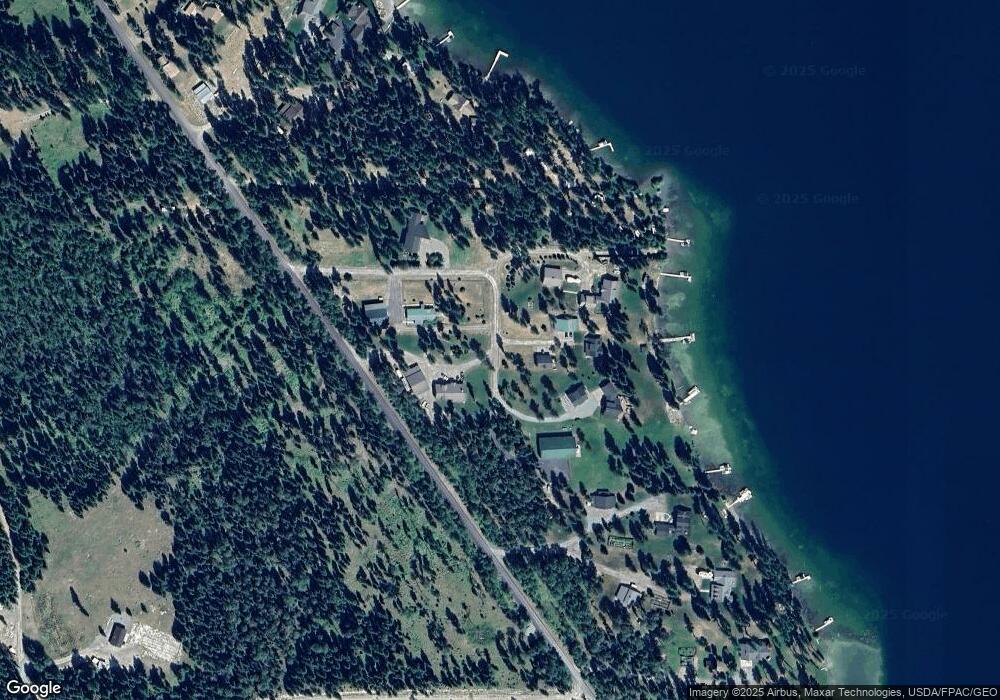
Map
Nearby Homes
- Nhn S Acm Rd
- Lot 9 Acm Rd N
- Nhn Acm Rd
- 1349 Lakeshore Dr
- 680 Rainbow Lake Loop Rd
- Maintained Roads
- 110 Happys Loop
- 128 Heavenly Dr
- 107 E Minnow Ct
- 0 Nhn Elk Creek Unit McGinnis Meadows R
- NHN Elk Creek - McGinnis Meadows Road Section 11
- NHN McGinnis Meadows - Fishtrap Road Section 9
- Nhn McGinnis Meadows - Bayhorse Road Section 5
- Nhn Whitney Lake Rd
- Nhn Whitney Lake Rd
- Nhn
- NHN View Ridge
- Nhn McGinnis Meadows - Bayhorse Road Section 1
- 62564 US Highway 2
- Houghton Creek Rd