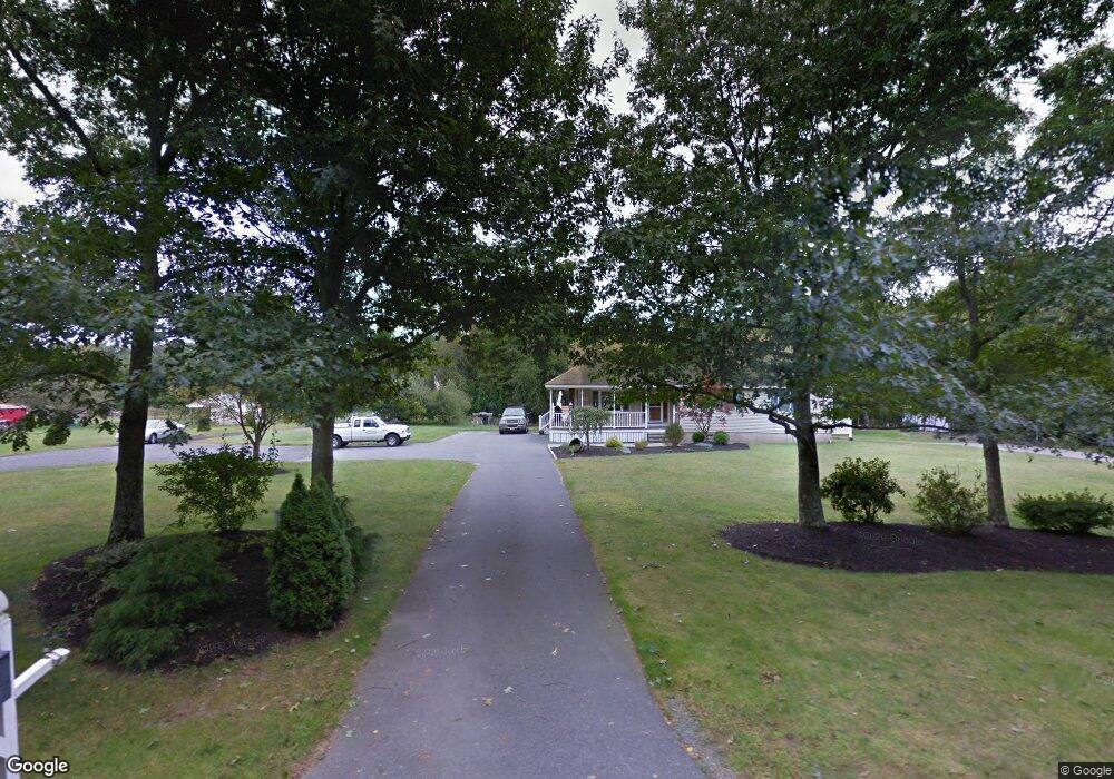
210 Dean St Raynham, MA 02767
Estimated Value: $738,000 - $1,056,000
3
Beds
6
Baths
4,237
Sq Ft
$220/Sq Ft
Est. Value
About This Home
This home is located at 210 Dean St, Raynham, MA 02767 and is currently estimated at $932,290, approximately $220 per square foot. 210 Dean St is a home located in Bristol County with nearby schools including LaLiberte Elementary School, Merrill Elementary School, and Williams Intermediate School.
Ownership History
Date
Name
Owned For
Owner Type
Purchase Details
Closed on
Jun 26, 2025
Sold by
Ellis Bruce C and Ellis Kelli L
Bought by
Ellis Ft and Ellis
Current Estimated Value
Purchase Details
Closed on
Apr 7, 1992
Sold by
Andrews George A and Andrews Barbara
Bought by
Ellis Bruce and Ellis Kelli
Home Financials for this Owner
Home Financials are based on the most recent Mortgage that was taken out on this home.
Original Mortgage
$40,000
Interest Rate
8.73%
Mortgage Type
Purchase Money Mortgage
Create a Home Valuation Report for This Property
The Home Valuation Report is an in-depth analysis detailing your home's value as well as a comparison with similar homes in the area
Home Values in the Area
Average Home Value in this Area
Purchase History
| Date | Buyer | Sale Price | Title Company |
|---|---|---|---|
| Ellis Ft | -- | -- | |
| Ellis Ft | -- | -- | |
| Ellis Ft | -- | -- | |
| Ellis Ft | -- | -- | |
| Ellis Bruce | $53,000 | -- | |
| Ellis Bruce | $53,000 | -- |
Source: Public Records
Mortgage History
| Date | Status | Borrower | Loan Amount |
|---|---|---|---|
| Previous Owner | Ellis Bruce | $155,000 | |
| Previous Owner | Ellis Bruce | $141,400 | |
| Previous Owner | Ellis Bruce | $40,000 |
Source: Public Records
Tax History
| Year | Tax Paid | Tax Assessment Tax Assessment Total Assessment is a certain percentage of the fair market value that is determined by local assessors to be the total taxable value of land and additions on the property. | Land | Improvement |
|---|---|---|---|---|
| 2025 | $9,802 | $810,100 | $229,100 | $581,000 |
| 2024 | $9,607 | $773,500 | $221,100 | $552,400 |
| 2023 | $9,345 | $687,100 | $198,000 | $489,100 |
| 2022 | $8,963 | $604,400 | $178,000 | $426,400 |
| 2021 | $8,553 | $582,200 | $170,000 | $412,200 |
| 2020 | $8,307 | $576,500 | $170,000 | $406,500 |
| 2019 | $8,204 | $576,500 | $170,000 | $406,500 |
| 2018 | $7,954 | $533,800 | $170,000 | $363,800 |
| 2017 | $6,980 | $464,400 | $162,000 | $302,400 |
| 2016 | $7,415 | $495,000 | $158,800 | $336,200 |
| 2015 | $5,194 | $340,800 | $158,900 | $181,900 |
Source: Public Records
Map
Nearby Homes
- 532 Hill St
- 7 Anna St
- 22 Highland Rd Unit 29
- 55 Bally Dr
- 0 Oxbow Rd Unit 20-3
- 0 Oxbow Rd Unit 39
- 0 Oxbow Rd Unit 44-1
- 0 Oxbow Rd Unit 44-3
- 42 Oxbow Rd Unit 20-1
- 75 Oxbow Rd Unit 38-3
- 60 Oxbow Rd Unit 40-2
- 71 Oxbow Rd Unit 38-1
- 65 Oxbow Rd
- 77 Oxbow Rd Unit 39-1
- 91 Oxbow Rd Unit 43-2
- 65 Oxbow Rd Unit 37-1
- 66 Oxbow Rd Unit 2
- 60 Oxbow Rd
- 4 Emerald Place
- 69 Oxbow Rd Unit 37-3
Your Personal Tour Guide
Ask me questions while you tour the home.