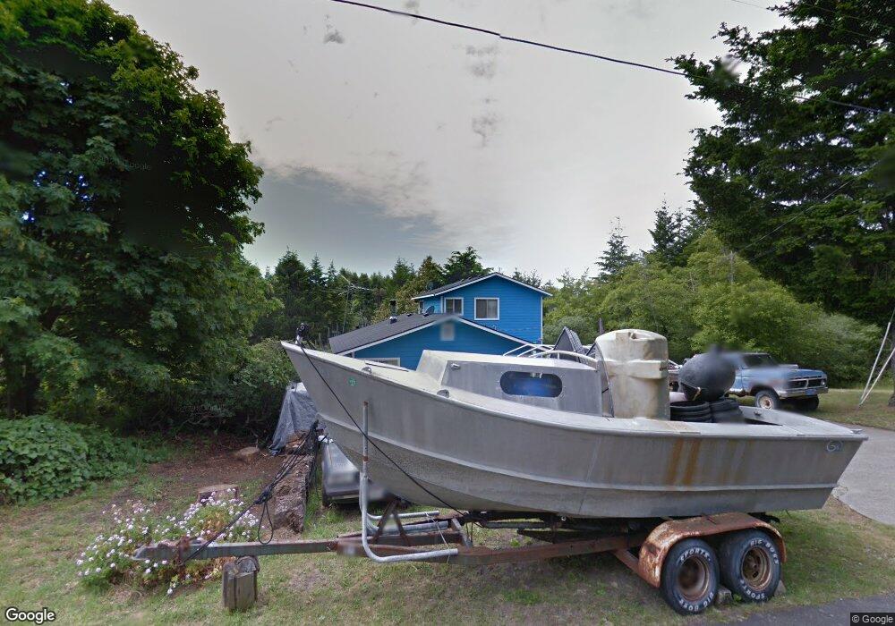
210 Debbie Ln Whitethorn, CA 95589
Shelter Cove NeighborhoodEstimated Value: $213,000 - $375,000
1
Bed
2
Baths
1,252
Sq Ft
$250/Sq Ft
Est. Value
About This Home
This home is located at 210 Debbie Ln, Whitethorn, CA 95589 and is currently estimated at $312,536, approximately $249 per square foot. 210 Debbie Ln is a home located in Humboldt County.
Ownership History
Date
Name
Owned For
Owner Type
Purchase Details
Closed on
Nov 15, 2022
Sold by
Patric A Ann Griffith Living Trust
Bought by
Finley Jasmine R
Current Estimated Value
Home Financials for this Owner
Home Financials are based on the most recent Mortgage that was taken out on this home.
Original Mortgage
$130,000
Outstanding Balance
$125,961
Interest Rate
6.94%
Mortgage Type
New Conventional
Estimated Equity
$186,575
Purchase Details
Closed on
Sep 23, 2019
Sold by
Griffith Patricia Ann and Griffith Patricia A
Bought by
Griffith Patricia Ann
Create a Home Valuation Report for This Property
The Home Valuation Report is an in-depth analysis detailing your home's value as well as a comparison with similar homes in the area
Home Values in the Area
Average Home Value in this Area
Purchase History
| Date | Buyer | Sale Price | Title Company |
|---|---|---|---|
| Finley Jasmine R | $150,000 | Fidelity National Title | |
| Griffith Patricia Ann | -- | None Available |
Source: Public Records
Mortgage History
| Date | Status | Borrower | Loan Amount |
|---|---|---|---|
| Open | Finley Jasmine R | $130,000 |
Source: Public Records
Tax History Compared to Growth
Tax History
| Year | Tax Paid | Tax Assessment Tax Assessment Total Assessment is a certain percentage of the fair market value that is determined by local assessors to be the total taxable value of land and additions on the property. | Land | Improvement |
|---|---|---|---|---|
| 2025 | $2,676 | $223,686 | $93,636 | $130,050 |
| 2024 | $2,676 | $219,300 | $91,800 | $127,500 |
| 2023 | $1,778 | $132,129 | $26,510 | $105,619 |
| 2022 | $1,755 | $129,540 | $25,991 | $103,549 |
| 2021 | $1,699 | $127,001 | $25,482 | $101,519 |
| 2020 | $1,708 | $125,700 | $25,221 | $100,479 |
| 2019 | $1,672 | $123,236 | $24,727 | $98,509 |
| 2018 | $1,648 | $120,821 | $24,243 | $96,578 |
| 2017 | $1,522 | $118,453 | $23,768 | $94,685 |
| 2016 | $1,514 | $116,131 | $23,302 | $92,829 |
| 2015 | $1,508 | $114,387 | $22,952 | $91,435 |
| 2014 | $1,488 | $112,147 | $22,503 | $89,644 |
Source: Public Records
Map
Nearby Homes
- 199 Spring Road 166 Debbie Ln
- 745 Spring Rd
- 1002 Spring Rd
- 65 Eileen Rd
- 278 Ridge Rd
- 146 Spring Rd
- 829 Spring Rd
- 20 & 30 Eileen Rd
- 341 Ridge Rd
- 489 & 508 Humboldt Loop Rd
- 52 Madrone Rd
- 197 & 207 Ridge Rd
- 972 Spring Rd
- 35 Debbie Ln
- 416 Ridge Rd
- 63 Spring Rd
- 117 Ridge Rd
- 761 Redwood Rd
- 48 Cinch Ct
- 522 Beach Rd
