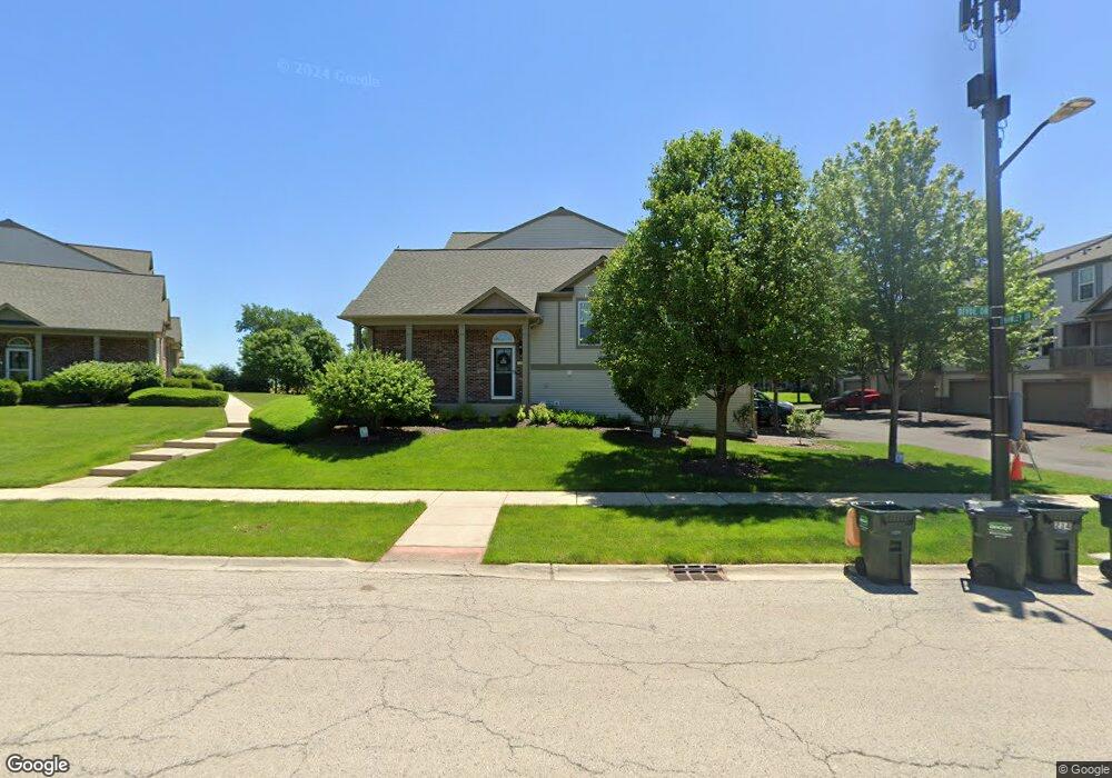
210 Devoe Dr Unit 131 Oswego, IL 60543
North Oswego NeighborhoodEstimated Value: $310,347 - $330,000
2
Beds
3
Baths
1,704
Sq Ft
$185/Sq Ft
Est. Value
About This Home
This home is located at 210 Devoe Dr Unit 131, Oswego, IL 60543 and is currently estimated at $316,087, approximately $185 per square foot. 210 Devoe Dr Unit 131 is a home located in Kendall County with nearby schools including Southbury Elementary School, Murphy Junior High School, and Oswego East High School.
Ownership History
Date
Name
Owned For
Owner Type
Purchase Details
Closed on
Jun 13, 2018
Sold by
Kovar James and Kovar Susan
Bought by
P4la Llc
Current Estimated Value
Purchase Details
Closed on
Apr 29, 2009
Sold by
Pulte Home Corporation
Bought by
Forslin Marilyn
Home Financials for this Owner
Home Financials are based on the most recent Mortgage that was taken out on this home.
Original Mortgage
$159,992
Interest Rate
5.32%
Mortgage Type
Purchase Money Mortgage
Create a Home Valuation Report for This Property
The Home Valuation Report is an in-depth analysis detailing your home's value as well as a comparison with similar homes in the area
Home Values in the Area
Average Home Value in this Area
Purchase History
| Date | Buyer | Sale Price | Title Company |
|---|---|---|---|
| P4la Llc | $210,000 | Citywide Title Corporation | |
| Forslin Marilyn | $200,000 | None Available |
Source: Public Records
Mortgage History
| Date | Status | Borrower | Loan Amount |
|---|---|---|---|
| Previous Owner | Forslin Marilyn | $159,992 |
Source: Public Records
Tax History
| Year | Tax Paid | Tax Assessment Tax Assessment Total Assessment is a certain percentage of the fair market value that is determined by local assessors to be the total taxable value of land and additions on the property. | Land | Improvement |
|---|---|---|---|---|
| 2024 | $3,023 | $88,034 | $13,058 | $74,976 |
| 2023 | $3,392 | $77,906 | $11,556 | $66,350 |
| 2022 | $3,392 | $70,823 | $10,505 | $60,318 |
| 2021 | $3,515 | $68,760 | $10,199 | $58,561 |
| 2020 | $3,549 | $67,412 | $9,999 | $57,413 |
| 2019 | $3,606 | $69,188 | $9,999 | $59,189 |
| 2018 | $3,803 | $61,458 | $10,602 | $50,856 |
| 2017 | $3,851 | $56,643 | $9,771 | $46,872 |
| 2016 | $3,907 | $52,447 | $9,047 | $43,400 |
| 2015 | $4,098 | $48,562 | $8,377 | $40,185 |
| 2014 | -- | $50,064 | $8,636 | $41,428 |
| 2013 | -- | $52,699 | $9,091 | $43,608 |
Source: Public Records
Map
Nearby Homes
- 240 Devoe Dr
- 608 Hawley Dr Unit 4342
- 464 Valentine Way
- 460 Valentine Way
- 3017 Lundquist Dr
- 605 Murdock Place
- 241 Cooney Way
- 353 Danforth Dr
- 234 Cooney Way
- 393 Danforth Dr
- 601 Murdock Place
- 391 Danforth Dr
- 602 Murdock Place
- 714 Erwin St
- 347 Danforth Dr
- 339 Danforth Dr
- 2322 Pagosa Springs Dr
- 115 Henderson St
- 379 Danforth Dr
- 377 Danforth Dr
- 210 Devoe Dr
- 212 Devoe Dr
- 214 Devoe Dr
- 214 Devoe Dr Unit 133
- 214 Devoe Dr Unit 122
- 216 Devoe Dr
- 216 Devoe Dr Unit 134
- 220 Devoe Dr
- 192 Devoe Dr Unit 192
- 218 Devoe Dr
- 222 Devoe Dr
- 200 Devoe Dr
- 202 Devoe Dr
- 204 Devoe Dr
- 224 Devoe Dr
- 206 Devoe Dr
- 226 Devoe Dr
- 208 Devoe Dr
- 208 Devoe Dr Unit 121
- 228 Devoe Dr
Your Personal Tour Guide
Ask me questions while you tour the home.