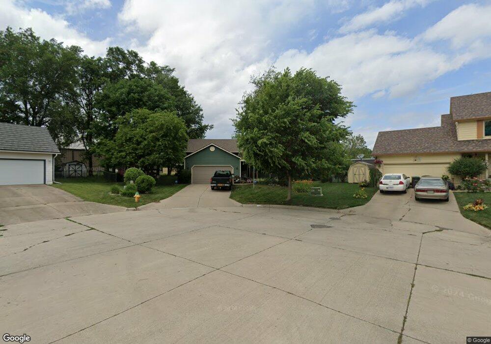
210 E Bundy Ave Des Moines, IA 50315
Estimated Value: $259,000 - $286,000
--
Bed
3
Baths
1,217
Sq Ft
$226/Sq Ft
Est. Value
About This Home
This home is located at 210 E Bundy Ave, Des Moines, IA 50315 and is currently estimated at $275,459, approximately $226 per square foot. 210 E Bundy Ave is a home located in Polk County with nearby schools including Morris Elementary School, Mccombs Middle School, and Lincoln High School.
Ownership History
Date
Name
Owned For
Owner Type
Purchase Details
Closed on
Sep 24, 2001
Sold by
Ge Capital Mtg Services Inc
Bought by
Pins Mel E and Pins Molly A
Current Estimated Value
Purchase Details
Closed on
Sep 14, 2001
Sold by
Northeast Bank Fsb
Bought by
Ge Capital Mtg Services Inc
Purchase Details
Closed on
Apr 9, 2001
Sold by
Union Planters Bank Pmac Inc
Bought by
Northeast Bank Fsb
Create a Home Valuation Report for This Property
The Home Valuation Report is an in-depth analysis detailing your home's value as well as a comparison with similar homes in the area
Home Values in the Area
Average Home Value in this Area
Purchase History
| Date | Buyer | Sale Price | Title Company |
|---|---|---|---|
| Pins Mel E | $135,500 | -- | |
| Ge Capital Mtg Services Inc | $135,500 | -- | |
| Northeast Bank Fsb | -- | -- |
Source: Public Records
Tax History Compared to Growth
Tax History
| Year | Tax Paid | Tax Assessment Tax Assessment Total Assessment is a certain percentage of the fair market value that is determined by local assessors to be the total taxable value of land and additions on the property. | Land | Improvement |
|---|---|---|---|---|
| 2025 | $4,854 | $295,000 | $55,800 | $239,200 |
| 2024 | $4,854 | $257,200 | $48,100 | $209,100 |
| 2023 | $4,546 | $257,200 | $48,100 | $209,100 |
| 2022 | $4,510 | $201,800 | $39,000 | $162,800 |
| 2021 | $4,500 | $201,800 | $39,000 | $162,800 |
| 2020 | $4,668 | $188,900 | $36,400 | $152,500 |
| 2019 | $4,756 | $188,900 | $36,400 | $152,500 |
| 2018 | $4,702 | $185,500 | $34,600 | $150,900 |
| 2017 | $4,492 | $185,500 | $34,600 | $150,900 |
| 2016 | $4,372 | $174,600 | $31,800 | $142,800 |
| 2015 | $4,372 | $174,600 | $31,800 | $142,800 |
| 2014 | $4,236 | $168,100 | $30,300 | $137,800 |
Source: Public Records
Map
Nearby Homes
- 217 E Payton Ave
- 214 Leland Ave
- 313 E Payton Ave
- 243 Hart Ave
- 6204 SW 5th St
- 5936 SW 2nd St
- 613 Cummins Rd
- 401 E Wall Ave
- 8 E Wall Ave
- 528 Hart Ave
- 5812 SW 5th St
- 325 E Porter Ave
- 5612 SW 2nd St
- 5600 SE 4th St
- 508 Wall Ave
- 154 Crossroads Dr
- 7807 SE 2nd St
- 439 E Porter Ave
- 5501 S Union St
- 303 Porter Ave