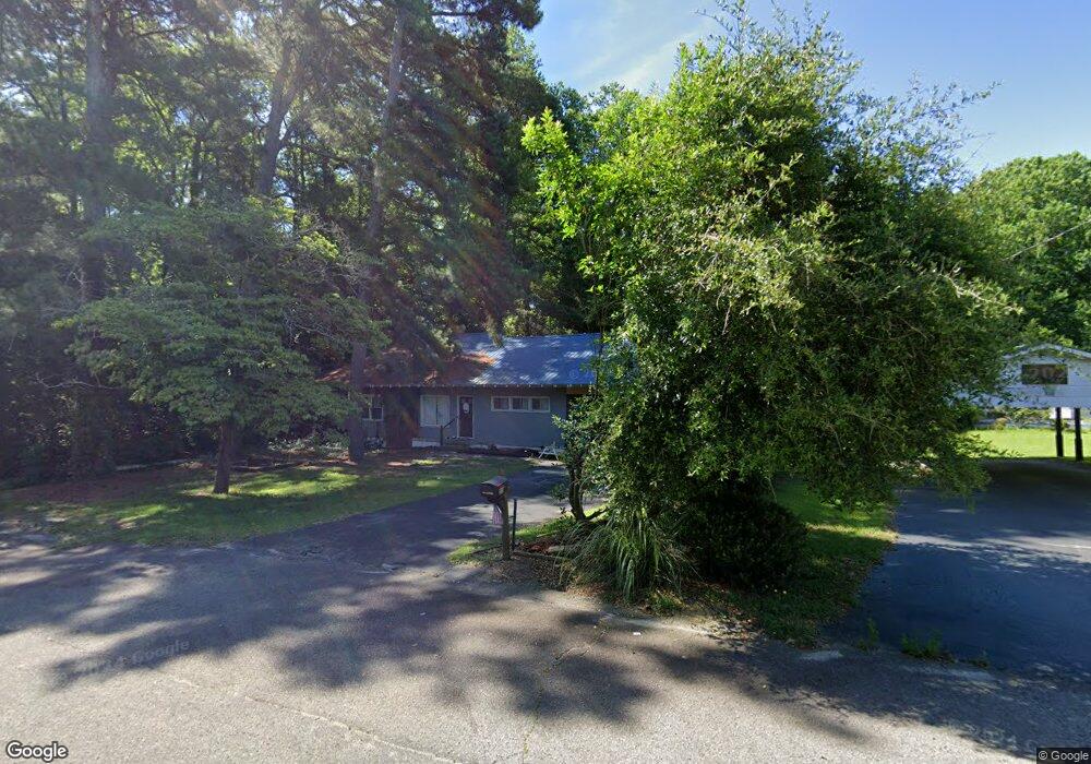
210 E Parsons St Candor, NC 27229
Estimated Value: $153,000 - $216,000
3
Beds
2
Baths
1,773
Sq Ft
$104/Sq Ft
Est. Value
About This Home
This home is located at 210 E Parsons St, Candor, NC 27229 and is currently estimated at $183,732, approximately $103 per square foot. 210 E Parsons St is a home located in Montgomery County with nearby schools including Candor Elementary School, Mount Gilead Elementary School, and East Middle School.
Ownership History
Date
Name
Owned For
Owner Type
Purchase Details
Closed on
Nov 12, 2013
Sold by
Kennedy Angela R Bristow and Kennedy David J
Bought by
Kennedy David J
Current Estimated Value
Home Financials for this Owner
Home Financials are based on the most recent Mortgage that was taken out on this home.
Original Mortgage
$79,200
Outstanding Balance
$56,693
Interest Rate
3.25%
Mortgage Type
Adjustable Rate Mortgage/ARM
Estimated Equity
$127,039
Create a Home Valuation Report for This Property
The Home Valuation Report is an in-depth analysis detailing your home's value as well as a comparison with similar homes in the area
Purchase History
| Date | Buyer | Sale Price | Title Company |
|---|---|---|---|
| Kennedy David J | -- | None Available |
Source: Public Records
Mortgage History
| Date | Status | Borrower | Loan Amount |
|---|---|---|---|
| Open | Kennedy David J | $79,200 |
Source: Public Records
Tax History
| Year | Tax Paid | Tax Assessment Tax Assessment Total Assessment is a certain percentage of the fair market value that is determined by local assessors to be the total taxable value of land and additions on the property. | Land | Improvement |
|---|---|---|---|---|
| 2025 | $1,355 | $107,122 | $11,187 | $95,935 |
| 2024 | $14 | $107,122 | $11,187 | $95,935 |
| 2023 | $1,355 | $107,122 | $11,187 | $95,935 |
| 2022 | $1,355 | $107,122 | $11,187 | $95,935 |
| 2021 | $1,355 | $107,122 | $11,187 | $95,935 |
| 2020 | $1,355 | $107,122 | $11,187 | $95,935 |
| 2019 | $1,240 | $97,600 | $6,152 | $91,448 |
| 2018 | $1,240 | $97,600 | $6,152 | $91,448 |
| 2017 | $1,240 | $97,600 | $6,152 | $91,448 |
| 2016 | $1,240 | $97,600 | $6,152 | $91,448 |
| 2015 | $1,161 | $97,600 | $0 | $0 |
| 2014 | $1,161 | $97,597 | $0 | $0 |
Source: Public Records
Map
Nearby Homes
- 2627 Mccallum Rd
- 0 Center Baptist Church Rd Unit 100539643
- 3103 N Carolina 731
- 593 Cedar Creek Rd
- 303 Hunsucker St
- 325 Craven St
- 0 W Main St
- 217 Lambert Rd
- 13 Sawgrass Rd
- 0 Nc Hwy 24 27 E Unit 755145
- 400 Eagle Springs Rd
- 2769 N Carolina 211
- 135 Myrick Dr
- 0 Wright Rd
- 663 Possum Holler Rd
- 0 Leake Rd Unit CAR4307775
- 0 Leak Rd Unit 730300
- 27 N Carolina 24
- 164 Haines Rd
- New Tract 13 Belford Church Rd
- 140 E Parsons St
- 145 E Parsons St
- 134 E Parsons St
- 212 N Tomlinson St
- 128 E Parsons St
- 218 Thayer St
- 0 N Thayer St Unit 100536124
- 0 N Thayer St
- 136 E Church St
- 122 E Parsons St
- 220 N Tomlinson St
- 305 E Main St
- 124 E Church St
- 220 Thayer St
- 112 N Depot St
- 228 N Tomlinson St
- 133 E Church St
- 230 N Tomlinson St
- 311 E Main St
- 230 Thayer St
Your Personal Tour Guide
Ask me questions while you tour the home.