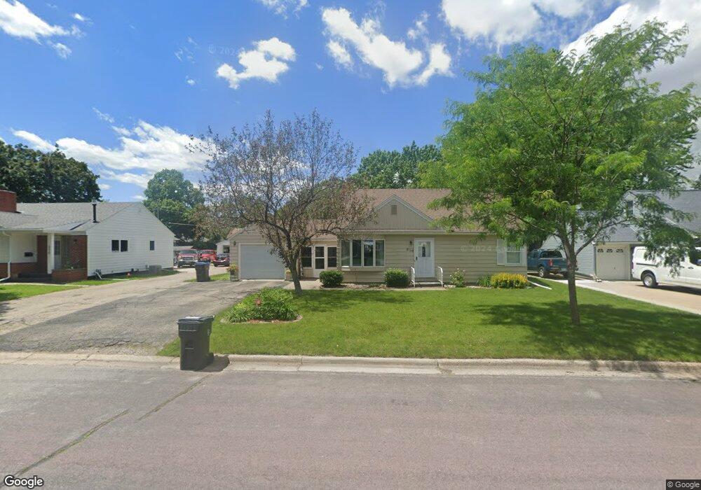
210 Ellis Ave Unit 210 Ellis Avenue Mankato, MN 56001
Highland Park NeighborhoodEstimated Value: $230,000 - $279,446
3
Beds
2
Baths
1,100
Sq Ft
$232/Sq Ft
Est. Value
About This Home
This home is located at 210 Ellis Ave Unit 210 Ellis Avenue, Mankato, MN 56001 and is currently estimated at $254,862, approximately $231 per square foot. 210 Ellis Ave Unit 210 Ellis Avenue is a home located in Blue Earth County with nearby schools including Rosa Parks Elementary School, Prairie Winds Middle School, and Mankato East Senior High School.
Ownership History
Date
Name
Owned For
Owner Type
Purchase Details
Closed on
Mar 20, 2009
Sold by
Federal Home Loan Mortgage Corporation
Bought by
Daschner Trisha
Current Estimated Value
Home Financials for this Owner
Home Financials are based on the most recent Mortgage that was taken out on this home.
Original Mortgage
$123,750
Outstanding Balance
$78,605
Interest Rate
5.11%
Mortgage Type
New Conventional
Estimated Equity
$176,257
Create a Home Valuation Report for This Property
The Home Valuation Report is an in-depth analysis detailing your home's value as well as a comparison with similar homes in the area
Home Values in the Area
Average Home Value in this Area
Purchase History
| Date | Buyer | Sale Price | Title Company |
|---|---|---|---|
| Daschner Trisha | $137,500 | -- |
Source: Public Records
Mortgage History
| Date | Status | Borrower | Loan Amount |
|---|---|---|---|
| Open | Daschner Trisha | $123,750 |
Source: Public Records
Tax History Compared to Growth
Tax History
| Year | Tax Paid | Tax Assessment Tax Assessment Total Assessment is a certain percentage of the fair market value that is determined by local assessors to be the total taxable value of land and additions on the property. | Land | Improvement |
|---|---|---|---|---|
| 2025 | $2,454 | $241,500 | $31,200 | $210,300 |
| 2024 | $2,454 | $237,300 | $31,200 | $206,100 |
| 2023 | $2,276 | $216,600 | $31,200 | $185,400 |
| 2022 | $1,842 | $209,000 | $31,200 | $177,800 |
| 2021 | $1,810 | $163,400 | $31,200 | $132,200 |
| 2020 | $1,960 | $171,000 | $31,200 | $139,800 |
| 2019 | $1,914 | $171,000 | $31,200 | $139,800 |
| 2018 | $1,742 | $167,300 | $31,200 | $136,100 |
| 2017 | $1,544 | $155,200 | $31,200 | $124,000 |
| 2016 | $1,514 | $146,600 | $31,200 | $115,400 |
| 2015 | $14 | $144,900 | $31,200 | $113,700 |
| 2014 | $1,442 | $135,400 | $31,200 | $104,200 |
Source: Public Records
Map
Nearby Homes
- 130 Dillon Ave
- 340 Rd
- 26 Sumner Hills Rd
- TBD Saratoga
- 231 Bradley St
- 212 Locke St
- 217 Center St
- 316 316 Stoltzman Rd
- 316 Stoltzman Rd
- 0 R010918476042 Tbd Woodridge Unit 7036731
- 117 E Pleasant St
- 117 117 E Pleasant St
- 309 309 Locust St
- 2 A Madison Ave
- 222 W Pleasant St
- 222 222 W Pleasant St
- 315 W Pleasant St
- 215 215 Parkway Place
- 213 Parkway Place
- 107 Raven Ct