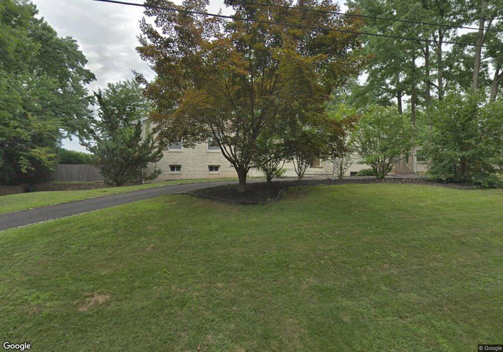
210 Florence Ave Westfield, NJ 07090
Estimated Value: $992,000 - $1,276,000
--
Bed
--
Bath
1,971
Sq Ft
$562/Sq Ft
Est. Value
About This Home
This home is located at 210 Florence Ave, Westfield, NJ 07090 and is currently estimated at $1,106,811, approximately $561 per square foot. 210 Florence Ave is a home located in Union County with nearby schools including McKinley Elementary School, Westfield Senior High School, and Holy Trinity School.
Ownership History
Date
Name
Owned For
Owner Type
Purchase Details
Closed on
Jul 19, 2010
Sold by
Petras Susan and Blaise Christophe
Bought by
Shen Jing and Chen Xin
Current Estimated Value
Home Financials for this Owner
Home Financials are based on the most recent Mortgage that was taken out on this home.
Original Mortgage
$319,000
Interest Rate
4.07%
Mortgage Type
New Conventional
Purchase Details
Closed on
Jun 27, 2007
Sold by
Weeks Ann M
Bought by
Blaise Christophe and Petras Susan
Home Financials for this Owner
Home Financials are based on the most recent Mortgage that was taken out on this home.
Original Mortgage
$417,000
Interest Rate
6%
Mortgage Type
Purchase Money Mortgage
Create a Home Valuation Report for This Property
The Home Valuation Report is an in-depth analysis detailing your home's value as well as a comparison with similar homes in the area
Home Values in the Area
Average Home Value in this Area
Purchase History
| Date | Buyer | Sale Price | Title Company |
|---|---|---|---|
| Shen Jing | $569,000 | None Available | |
| Blaise Christophe | $655,000 | Acres Land Title Agency |
Source: Public Records
Mortgage History
| Date | Status | Borrower | Loan Amount |
|---|---|---|---|
| Closed | Shen Jing | $319,000 | |
| Previous Owner | Blaise Christophe | $417,000 |
Source: Public Records
Tax History Compared to Growth
Tax History
| Year | Tax Paid | Tax Assessment Tax Assessment Total Assessment is a certain percentage of the fair market value that is determined by local assessors to be the total taxable value of land and additions on the property. | Land | Improvement |
|---|---|---|---|---|
| 2025 | $14,742 | $654,600 | $391,500 | $263,100 |
| 2024 | $14,440 | $654,600 | $391,500 | $263,100 |
| 2023 | $14,440 | $654,600 | $391,500 | $263,100 |
| 2022 | $14,139 | $654,600 | $391,500 | $263,100 |
| 2021 | $14,159 | $654,600 | $391,500 | $263,100 |
| 2020 | $14,195 | $657,800 | $391,500 | $266,300 |
| 2019 | $14,143 | $657,800 | $391,500 | $266,300 |
| 2018 | $13,713 | $147,500 | $69,600 | $77,900 |
| 2017 | $13,638 | $147,500 | $69,600 | $77,900 |
| 2016 | $13,318 | $147,500 | $69,600 | $77,900 |
| 2015 | $13,052 | $147,500 | $69,600 | $77,900 |
| 2014 | $12,622 | $147,500 | $69,600 | $77,900 |
Source: Public Records
Map
Nearby Homes
- 119 Lamberts Mill Rd
- 2154 W Broad St
- 2116 Newark Ave
- 314 Highgate Ave
- 1466 Lamberts Mill Rd
- 524 Edgar Rd
- 525 Edgar Rd
- 2 Brookside Ct
- 350 W Dudley Ave
- 724 South Ave W Unit 724A
- 2212 Shady Ln
- 1933 W Broad St
- 614 Dorian Rd
- 2314 Longfellow Ave
- 1933 Mary Ellen Ln
- 2219 North Ave Unit 6
- 538 Westfield Ave
- 303 Prospect St
- 2286 Stocker Ln
- 260 Prospect St Unit C15
- 224 Florence Ave
- 209 Florence Ave
- 225 Florence Ave
- 225 N Florence Ave
- 206 Florence Ave
- 227 Florence Ave
- 205 Florence Ave
- 232 Florence Ave
- 789 Hancock St
- 114 N Florence Ave
- 114 Florence Ave
- 782 Hancock St
- 773 Hancock St
- 2224 Hancock
- 779 Hancock St
- 112 N Florence Ave
- 760 W Broad St
- 785 Hancock St
- 774 W Broad St
- 110 N Florence Ave