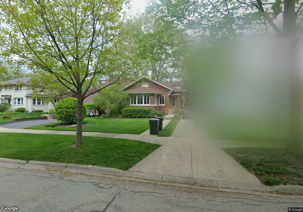
210 Gage Rd Riverside, IL 60546
Estimated Value: $634,000 - $697,262
4
Beds
3
Baths
2,652
Sq Ft
$253/Sq Ft
Est. Value
About This Home
This home is located at 210 Gage Rd, Riverside, IL 60546 and is currently estimated at $670,316, approximately $252 per square foot. 210 Gage Rd is a home located in Cook County with nearby schools including Central Elementary School, L J Hauser Jr High School, and Riverside Brookfield High School.
Ownership History
Date
Name
Owned For
Owner Type
Purchase Details
Closed on
Nov 14, 2003
Sold by
Saulinski Jerome Francis and Saulinski Maryann Claire
Bought by
Wilkins Thomas and Wilkins Wanying
Current Estimated Value
Home Financials for this Owner
Home Financials are based on the most recent Mortgage that was taken out on this home.
Original Mortgage
$196,000
Outstanding Balance
$90,929
Interest Rate
6.01%
Mortgage Type
Unknown
Estimated Equity
$579,387
Create a Home Valuation Report for This Property
The Home Valuation Report is an in-depth analysis detailing your home's value as well as a comparison with similar homes in the area
Home Values in the Area
Average Home Value in this Area
Purchase History
| Date | Buyer | Sale Price | Title Company |
|---|---|---|---|
| Wilkins Thomas | $440,000 | Atgf Inc |
Source: Public Records
Mortgage History
| Date | Status | Borrower | Loan Amount |
|---|---|---|---|
| Open | Wilkins Thomas | $196,000 | |
| Closed | Wilkins Thomas | $200,000 |
Source: Public Records
Tax History Compared to Growth
Tax History
| Year | Tax Paid | Tax Assessment Tax Assessment Total Assessment is a certain percentage of the fair market value that is determined by local assessors to be the total taxable value of land and additions on the property. | Land | Improvement |
|---|---|---|---|---|
| 2024 | $14,935 | $50,805 | $11,319 | $39,486 |
| 2023 | $11,406 | $50,000 | $11,319 | $38,681 |
| 2022 | $11,406 | $33,200 | $9,904 | $23,296 |
| 2021 | $10,993 | $33,199 | $9,904 | $23,295 |
| 2020 | $10,714 | $33,199 | $9,904 | $23,295 |
| 2019 | $11,655 | $36,545 | $9,055 | $27,490 |
| 2018 | $11,311 | $36,545 | $9,055 | $27,490 |
| 2017 | $10,964 | $36,545 | $9,055 | $27,490 |
| 2016 | $9,755 | $30,198 | $7,923 | $22,275 |
| 2015 | $9,489 | $30,198 | $7,923 | $22,275 |
| 2014 | $9,345 | $30,198 | $7,923 | $22,275 |
| 2013 | $9,148 | $31,952 | $7,923 | $24,029 |
Source: Public Records
Map
Nearby Homes
- 172 Olmsted Rd
- 269 Shenstone Rd
- 3515 S Harlem Ave Unit 1B
- 7335 Oakwood Ave Unit P-10
- 7335 Oakwood Ave Unit P-12
- 7335 Oakwood Ave Unit P-8
- 7335 Oakwood Ave Unit P-11
- 7335 Oakwood Ave Unit P-14
- 3731 Maple Ave
- 7316 40th St Unit P-9
- 7316 40th St Unit P-10
- 7316 40th St Unit P-13
- 56 Forest Ave Unit 1N
- 339 Eastgrove Rd
- 3816 Wisconsin Ave
- 78 Pine Ave
- 3829 Wisconsin Ave
- 475 Shenstone Rd Unit 303
- 7032 Pershing Rd
- 3548 Clinton Ave