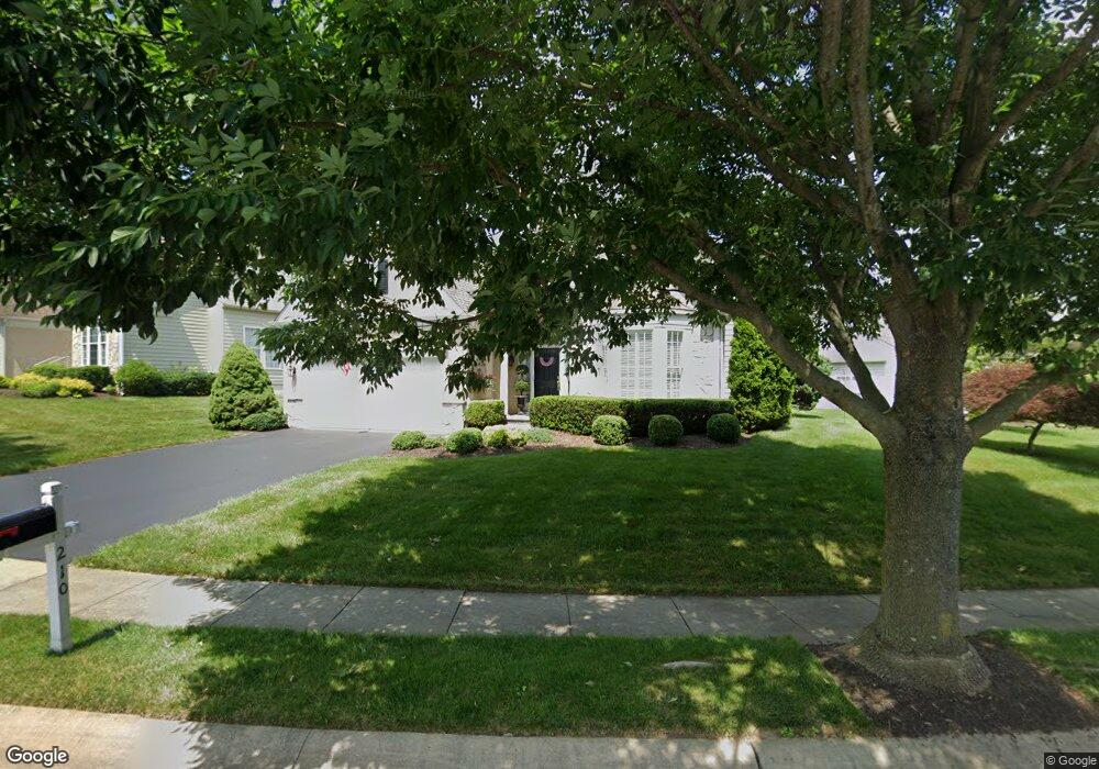
210 Katsura Dr Kennett Square, PA 19348
East Marlborough Township NeighborhoodEstimated Value: $768,219 - $891,000
3
Beds
3
Baths
3,484
Sq Ft
$233/Sq Ft
Est. Value
About This Home
This home is located at 210 Katsura Dr, Kennett Square, PA 19348 and is currently estimated at $810,305, approximately $232 per square foot. 210 Katsura Dr is a home located in Chester County with nearby schools including Unionville Elementary School, Charles F. Patton Middle School, and Unionville High School.
Ownership History
Date
Name
Owned For
Owner Type
Purchase Details
Closed on
Sep 20, 2011
Bought by
Detskas Richard T and Detskas Rosemary F
Current Estimated Value
Create a Home Valuation Report for This Property
The Home Valuation Report is an in-depth analysis detailing your home's value as well as a comparison with similar homes in the area
Home Values in the Area
Average Home Value in this Area
Purchase History
| Date | Buyer | Sale Price | Title Company |
|---|---|---|---|
| Detskas Richard T | $400,000 | -- |
Source: Public Records
Tax History Compared to Growth
Tax History
| Year | Tax Paid | Tax Assessment Tax Assessment Total Assessment is a certain percentage of the fair market value that is determined by local assessors to be the total taxable value of land and additions on the property. | Land | Improvement |
|---|---|---|---|---|
| 2025 | $1,590 | $236,090 | $56,940 | $179,150 |
| 2024 | $1,590 | $236,090 | $56,940 | $179,150 |
| 2023 | $1,590 | $236,090 | $56,940 | $179,150 |
| 2022 | $1,322 | $236,090 | $56,940 | $179,150 |
| 2021 | $1,590 | $236,090 | $56,940 | $179,150 |
| 2020 | $1,279 | $236,090 | $56,940 | $179,150 |
| 2019 | $1,547 | $236,090 | $56,940 | $179,150 |
| 2018 | $1,547 | $236,090 | $56,940 | $179,150 |
| 2017 | $1,547 | $236,090 | $56,940 | $179,150 |
| 2016 | $936 | $236,090 | $56,940 | $179,150 |
| 2015 | $936 | $236,090 | $56,940 | $179,150 |
| 2014 | $936 | $236,090 | $56,940 | $179,150 |
Source: Public Records
Map
Nearby Homes
- 213 Katsura Dr
- 505 Wisteria Dr
- 454 Larkspur Dr
- 217 Kirkbrae Rd
- 347 Astilbe Dr
- 312 Riverbirch Cir Unit 802
- 113 Lantana Dr
- 617 Unionville Rd
- 102 Manor Dr
- 736 Cascade Way
- 323 E Street Rd
- 327 E Street Rd
- 326 Redbud Ln
- 804 Waverly Rd
- 24 Radnor Ln
- 280 Cherry Ln Unit 34
- 765 Folly Hill Rd
- 191 W Street Rd
- 10104 Louie Ln
- 10103 Louie Ln