210 Leeward Rd Fall River, MA 02720
Western Fall River NeighborhoodEstimated Value: $419,623 - $575,000
3
Beds
1
Bath
1,040
Sq Ft
$485/Sq Ft
Est. Value
About This Home
This home is located at 210 Leeward Rd, Fall River, MA 02720 and is currently estimated at $504,156, approximately $484 per square foot. 210 Leeward Rd is a home located in Bristol County with nearby schools including Freetown Elementary School, George R Austin Intermediate School, and Freetown-Lakeville Middle School.
Ownership History
Date
Name
Owned For
Owner Type
Purchase Details
Closed on
Jul 6, 2021
Sold by
Johnson Carol A
Bought by
Cambra Beth and Ferreira Karen
Current Estimated Value
Purchase Details
Closed on
Apr 3, 1998
Sold by
Well Built Homes Inc
Bought by
Johnson Carol A
Home Financials for this Owner
Home Financials are based on the most recent Mortgage that was taken out on this home.
Original Mortgage
$40,000
Interest Rate
6.89%
Mortgage Type
Purchase Money Mortgage
Create a Home Valuation Report for This Property
The Home Valuation Report is an in-depth analysis detailing your home's value as well as a comparison with similar homes in the area
Home Values in the Area
Average Home Value in this Area
Purchase History
| Date | Buyer | Sale Price | Title Company |
|---|---|---|---|
| Cambra Beth | -- | None Available | |
| Johnson Carol A | $123,000 | -- |
Source: Public Records
Mortgage History
| Date | Status | Borrower | Loan Amount |
|---|---|---|---|
| Previous Owner | Johnson Carol A | $40,000 |
Source: Public Records
Tax History
| Year | Tax Paid | Tax Assessment Tax Assessment Total Assessment is a certain percentage of the fair market value that is determined by local assessors to be the total taxable value of land and additions on the property. | Land | Improvement |
|---|---|---|---|---|
| 2025 | $4,220 | $368,600 | $120,400 | $248,200 |
| 2024 | $3,974 | $345,900 | $118,000 | $227,900 |
| 2023 | $4,004 | $326,300 | $106,300 | $220,000 |
| 2022 | $3,527 | $279,500 | $100,300 | $179,200 |
| 2021 | $3,375 | $244,000 | $95,800 | $148,200 |
| 2020 | $3,241 | $224,300 | $91,500 | $132,800 |
| 2019 | $3,203 | $219,700 | $95,600 | $124,100 |
| 2018 | $3,105 | $212,400 | $94,000 | $118,400 |
| 2017 | $2,946 | $210,400 | $94,000 | $116,400 |
| 2016 | $2,857 | $209,600 | $99,000 | $110,600 |
| 2015 | $2,781 | $212,600 | $99,000 | $113,600 |
| 2014 | $2,675 | $212,600 | $99,000 | $113,600 |
Source: Public Records
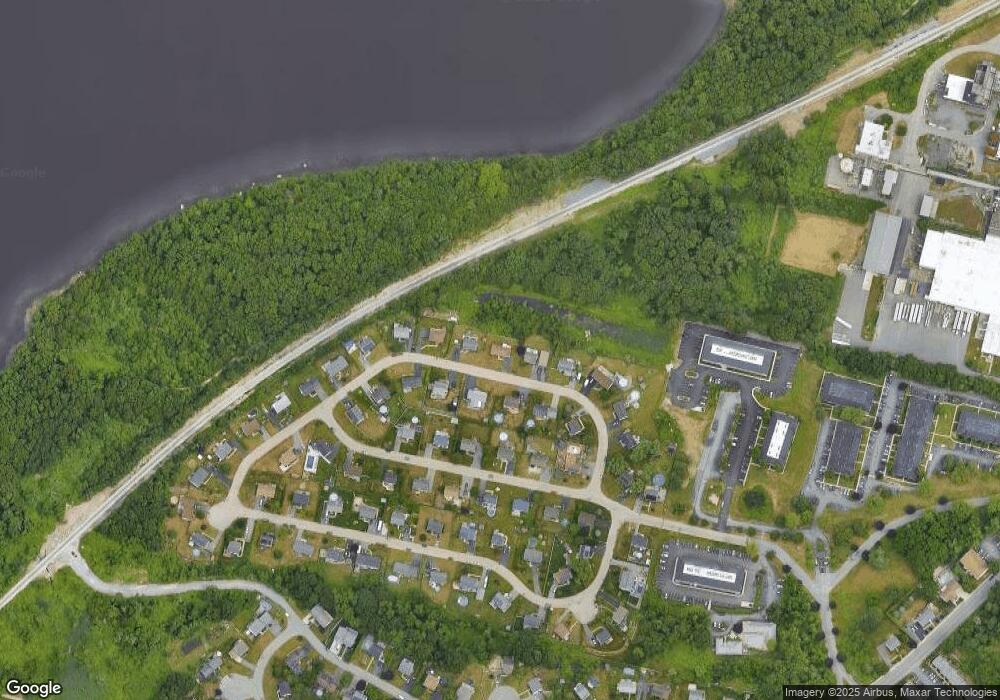
Map
Nearby Homes
- 5065 N Main St Unit 2
- 5455 N Main St Unit 10B
- 22 Apple Creek Ln
- 0 Palmer St
- 3896 N Main St
- 3753 N Main St Unit 1
- 3682 N Main St Unit 6
- 3636 N Main St Unit 5
- 145 Mount Hope Rd
- 2714 Riverside Ave
- 72 Ida Ln
- 485 Whetstone Hill Rd
- 560 North St
- 4 Narrows Rd
- 30 Gray St
- 2396 Riverside Ave
- 107 Manchester Ave
- 111 Almy Rd
- 915 Almy Rd
- 46 Lilac Ave
- 230 Leeward Rd
- 190 Leeward Rd
- 203 Leeward Rd
- 223 Leeward Rd
- 170 Leeward Rd
- 250 Leeward Rd
- 183 Leeward Rd
- 243 Leeward Rd
- 92 Four Winds Dr
- 163 Leeward Rd
- 110 Four Winds Dr
- 70 Four Winds Dr
- 273 Leeward Rd
- 150 Leeward Rd
- 260 Leeward Rd
- 128 Four Winds Dr
- 48 Four Winds Dr
- 133 Leeward Rd
- 150 Four Winds Dr
- 140 Leeward Rd
Your Personal Tour Guide
Ask me questions while you tour the home.