210 Locust Rd Eastham, MA 02642
Estimated Value: $817,034 - $927,000
2
Beds
2
Baths
1,752
Sq Ft
$487/Sq Ft
Est. Value
About This Home
This home is located at 210 Locust Rd, Eastham, MA 02642 and is currently estimated at $853,259, approximately $487 per square foot. 210 Locust Rd is a home located in Barnstable County with nearby schools including Eastham Elementary School, Nauset Regional Middle School, and Nauset Regional High School.
Ownership History
Date
Name
Owned For
Owner Type
Purchase Details
Closed on
Sep 20, 2016
Sold by
Murzyn Paul R
Bought by
Paul R Murzyn 2016 Lt
Current Estimated Value
Purchase Details
Closed on
May 22, 1986
Bought by
Murzyn Paul Richard
Create a Home Valuation Report for This Property
The Home Valuation Report is an in-depth analysis detailing your home's value as well as a comparison with similar homes in the area
Home Values in the Area
Average Home Value in this Area
Purchase History
| Date | Buyer | Sale Price | Title Company |
|---|---|---|---|
| Paul R Murzyn 2016 Lt | -- | -- | |
| Murzyn Paul Richard | $45,000 | -- |
Source: Public Records
Mortgage History
| Date | Status | Borrower | Loan Amount |
|---|---|---|---|
| Previous Owner | Murzyn Paul Richard | $52,000 |
Source: Public Records
Tax History
| Year | Tax Paid | Tax Assessment Tax Assessment Total Assessment is a certain percentage of the fair market value that is determined by local assessors to be the total taxable value of land and additions on the property. | Land | Improvement |
|---|---|---|---|---|
| 2025 | $5,875 | $762,000 | $271,600 | $490,400 |
| 2024 | $5,187 | $740,000 | $263,700 | $476,300 |
| 2023 | $4,810 | $664,300 | $244,100 | $420,200 |
| 2022 | $4,433 | $516,700 | $218,000 | $298,700 |
| 2021 | $4,309 | $469,400 | $198,100 | $271,300 |
| 2020 | $4,004 | $459,200 | $202,200 | $257,000 |
| 2019 | $3,679 | $445,900 | $196,300 | $249,600 |
| 2018 | $3,482 | $417,000 | $171,600 | $245,400 |
| 2017 | $3,230 | $408,800 | $168,200 | $240,600 |
| 2016 | $3,149 | $423,200 | $186,900 | $236,300 |
| 2015 | $2,950 | $415,500 | $183,200 | $232,300 |
Source: Public Records
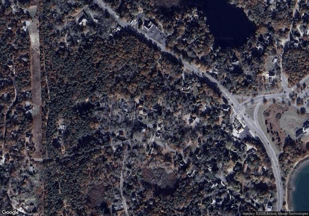
Map
Nearby Homes
- 3098 State Hwy
- 21 Locust Rd Unit 21
- 82 Old Orchard Rd
- 50 Surrey Dr
- 65 Cestaro Way
- 600 Kingsbury Beach Rd
- 2255 State Hwy
- 20 Stone Ct
- 1975 State Hwy Unit 9
- 255 Massasoit Rd
- 10 Field Rd
- 655 Herring Brook Rd
- 20 Oak Rd
- 35 Wiley Ln
- 295 Shurtleff Rd
- 330 Hay Rd
- 85 Huckleberry Ln
- 255 Epanow Rd
- 60 Smith Heights Way
- 1061 State Hwy Unit 4
- 230 Locust Rd
- 220 Locust Rd
- 2 Melinda Ln
- 180 Locust Rd
- 15 Walters Way
- 10 Walters Way
- 30 Split Rail Rd
- 20 Split Rail Rd
- 2115 Bridge
- 740 County Unit 2
- 740 County Unit 1
- 1835 County Rd
- 2170 County
- 2050 County
- 2765 County
- 740 County Unit 11
- 740 County Unit 5
- 740 County Unit 10
- 740 County Unit 7
- 740 County Unit 9
Your Personal Tour Guide
Ask me questions while you tour the home.