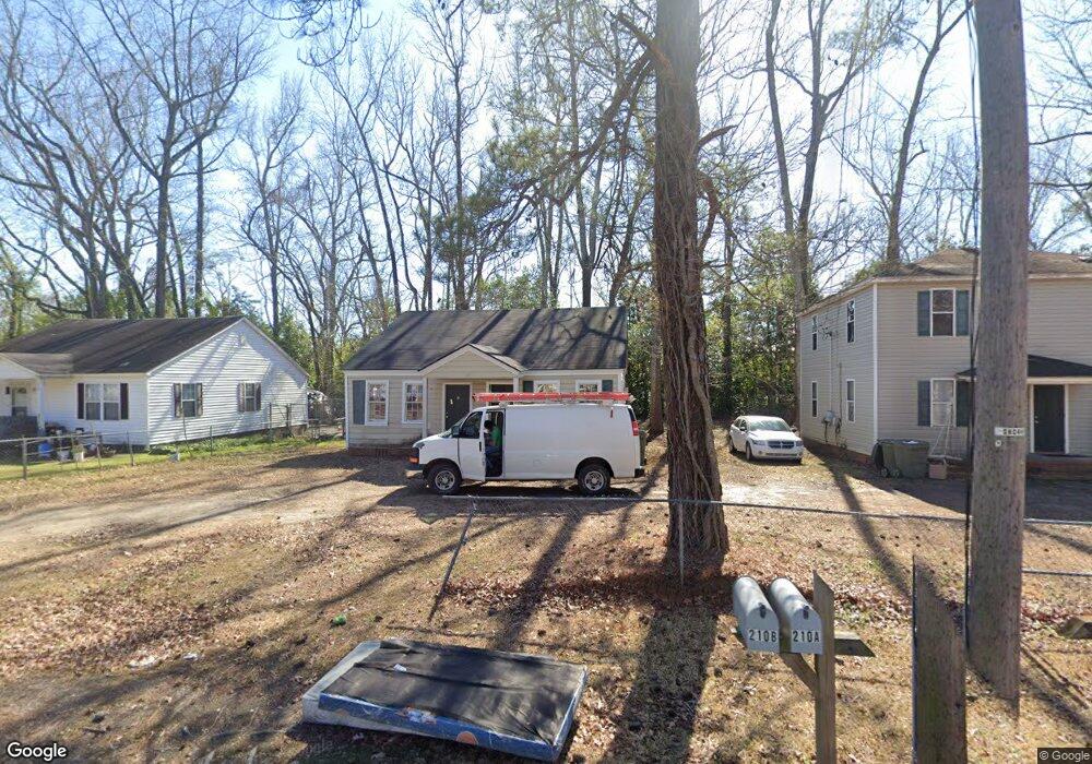
210 Loring Dr Unit A Sumter, SC 29150
Loring NeighborhoodEstimated Value: $67,735 - $179,000
1
Bed
1
Bath
550
Sq Ft
$206/Sq Ft
Est. Value
About This Home
This home is located at 210 Loring Dr Unit A, Sumter, SC 29150 and is currently estimated at $113,434, approximately $206 per square foot. 210 Loring Dr Unit A is a home located in Sumter County with nearby schools including Crosswell Drive Elementary School, Chestnut Oaks Middle School, and Sumter High School.
Ownership History
Date
Name
Owned For
Owner Type
Purchase Details
Closed on
Aug 18, 2022
Sold by
Elysium Holdings Llc
Bought by
1008 Holdings Llc
Current Estimated Value
Home Financials for this Owner
Home Financials are based on the most recent Mortgage that was taken out on this home.
Original Mortgage
$1,201,500
Outstanding Balance
$1,005,763
Interest Rate
4.55%
Estimated Equity
-$892,329
Purchase Details
Closed on
Jun 3, 2021
Sold by
Downtown Holdings Llc
Bought by
Elysium Holdings Llc
Purchase Details
Closed on
Aug 14, 2006
Sold by
Biering Stephen and Biering Stephen P
Bought by
Whitaker Michael A
Create a Home Valuation Report for This Property
The Home Valuation Report is an in-depth analysis detailing your home's value as well as a comparison with similar homes in the area
Home Values in the Area
Average Home Value in this Area
Purchase History
| Date | Buyer | Sale Price | Title Company |
|---|---|---|---|
| 1008 Holdings Llc | -- | Wylie & Washburn Llc | |
| Elysium Holdings Llc | $1,555,000 | None Listed On Document | |
| Elysium Holdings Llc | $1,555,000 | None Listed On Document | |
| Whitaker Michael A | $30,000 | None Available |
Source: Public Records
Mortgage History
| Date | Status | Borrower | Loan Amount |
|---|---|---|---|
| Open | 1008 Holdings Llc | $1,201,500 |
Source: Public Records
Tax History Compared to Growth
Tax History
| Year | Tax Paid | Tax Assessment Tax Assessment Total Assessment is a certain percentage of the fair market value that is determined by local assessors to be the total taxable value of land and additions on the property. | Land | Improvement |
|---|---|---|---|---|
| 2025 | $910 | $2,140 | $180 | $1,960 |
| 2024 | $910 | $2,140 | $180 | $1,960 |
| 2023 | $910 | $2,140 | $180 | $1,960 |
| 2022 | $901 | $2,140 | $180 | $1,960 |
| 2021 | $844 | $2,140 | $180 | $1,960 |
| 2020 | $844 | $1,950 | $180 | $1,770 |
| 2019 | $838 | $1,950 | $180 | $1,770 |
| 2018 | $839 | $1,950 | $180 | $1,770 |
| 2017 | $841 | $1,950 | $180 | $1,770 |
| 2016 | $829 | $1,950 | $180 | $1,770 |
| 2015 | $845 | $2,050 | $220 | $1,830 |
| 2014 | $845 | $2,050 | $220 | $1,830 |
| 2013 | -- | $2,050 | $220 | $1,830 |
Source: Public Records
Map
Nearby Homes
- 9 Wen Le Ct E
- 25 Baker St
- 34 Baker St
- 428 Robney Dr
- 420 Dogwood Dr
- 1 Commerce St
- 206 Crosswell Dr
- 15 Warren Ct
- 8 Warren Ct
- 761(767) N Main St
- 519 N Main St
- 113 Poinsett Dr
- 16 Wilson St
- 25 Poinsett Dr
- 36 W Charlotte Ave
- 35 W Charlotte Ave
- 2750 Fearless Ln
- 2380 Sibley St Unit Lot 123
- 2750 Fearless Ln Unit Lot 65
- 30 Church Ct
- 210 Loring Dr
- 208 Loring Dr
- 212 Loring Dr
- 204 Loring Dr
- 214 Loring Dr
- 216 Loring Dr
- 52 White Oak
- 102 White Oak St
- 207 Loring Dr
- 205 Loring Dr
- 102 White Oak Park
- 102 White Oak Park
- 215 Loring Dr
- 217 Loring Dr
- 302 Loring Dr
- 105 White Oak Park
- 108 White Oak Park
- 107 White Oak Park
- 108 Loring Dr
- 107 White Oak Park