Estimated Value: $366,036
Studio
--
Bath
--
Sq Ft
43,124
Sq Ft Lot
About This Home
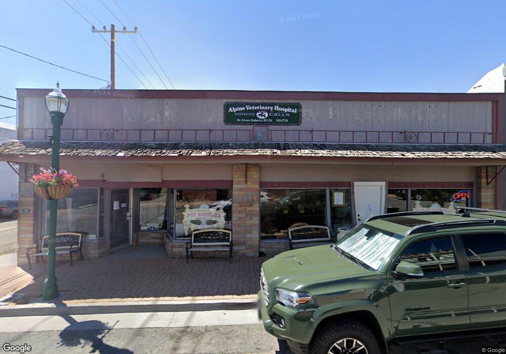
This home is located at 210 Main St, Weed, CA 96094 and is currently estimated at $366,036. 210 Main St is a home located in Siskiyou County with nearby schools including Weed Elementary School, Weed High School, and Siskiyou Christian School.
Ownership History
Date
Name
Owned For
Owner Type
Purchase Details
Closed on
Sep 26, 2019
Sold by
Borcalli David A and Borcalli Amelia A
Bought by
Roberts Grace K
Current Estimated Value
Home Financials for this Owner
Home Financials are based on the most recent Mortgage that was taken out on this home.
Original Mortgage
$205,792
Outstanding Balance
$180,284
Interest Rate
3.5%
Mortgage Type
New Conventional
Estimated Equity
$185,752
Purchase Details
Closed on
Oct 2, 2006
Sold by
D & R Hardware
Bought by
Borcalli David A and Borcalli Amelia A
Create a Home Valuation Report for This Property
The Home Valuation Report is an in-depth analysis detailing your home's value as well as a comparison with similar homes in the area
Home Values in the Area
Average Home Value in this Area
Purchase History
| Date | Buyer | Sale Price | Title Company |
|---|---|---|---|
| Roberts Grace K | $250,000 | Mt Shasta Title & Escrow | |
| Borcalli David A | -- | None Available |
Source: Public Records
Mortgage History
| Date | Status | Borrower | Loan Amount |
|---|---|---|---|
| Open | Roberts Grace K | $205,792 |
Source: Public Records
Tax History
| Year | Tax Paid | Tax Assessment Tax Assessment Total Assessment is a certain percentage of the fair market value that is determined by local assessors to be the total taxable value of land and additions on the property. | Land | Improvement |
|---|---|---|---|---|
| 2025 | $2,962 | $273,408 | $27,340 | $246,068 |
| 2023 | $2,962 | $262,793 | $26,279 | $236,514 |
| 2022 | $2,853 | $257,641 | $25,764 | $231,877 |
| 2021 | $2,805 | $252,590 | $25,259 | $227,331 |
| 2020 | $2,786 | $250,000 | $25,000 | $225,000 |
| 2019 | $1,032 | $85,091 | $33,629 | $51,462 |
| 2018 | $1,014 | $83,423 | $32,970 | $50,453 |
| 2017 | $999 | $81,788 | $32,324 | $49,464 |
| 2016 | $982 | $80,186 | $31,691 | $48,495 |
| 2015 | $970 | $78,982 | $31,215 | $47,767 |
| 2014 | $955 | $77,436 | $30,604 | $46,832 |
Source: Public Records
Map
Nearby Homes
- 202 & 206 N Weed Blvd
- 202 - 206 N Weed Blvd
- Unit 5-2 / 169 Hillside Dr Unit 5-2
- 372 Walnut St
- 767 N Davis Ave
- 306 Woodridge Ct
- 891 S Davis Ave
- 216 College Ave
- 563 Shasta Ave
- Approx 2 acres N Davis Ave
- 750 S Weed Blvd
- 1180 Crestmore Ave
- Lot 25 Meadow Ln
- Lot 26 Meadow Ln
- 1523 Alameda Ave
- 1588 Center St
- Lot 34 Glenhaven Ct
- Lot 32 Glenhaven Ct
- Lot 33 Glenhaven Ct
- Lot 63 Hidden Meadow Dr
Your Personal Tour Guide
Ask me questions while you tour the home.