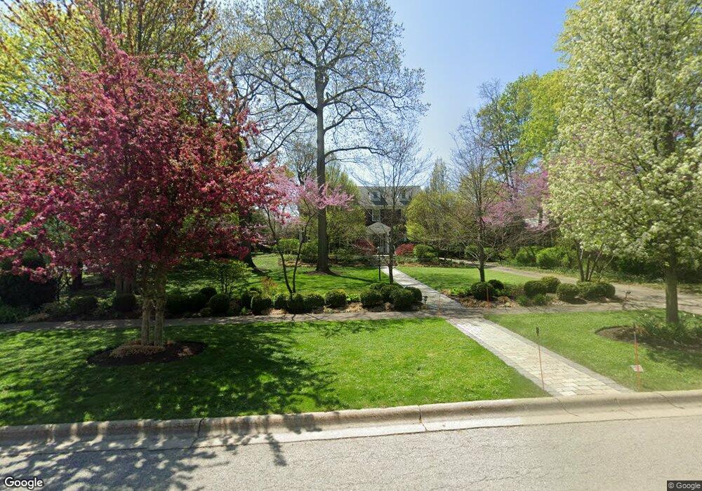
210 Maple Hill Rd Glencoe, IL 60022
Estimated Value: $2,487,000 - $3,898,000
7
Beds
6
Baths
5,584
Sq Ft
$546/Sq Ft
Est. Value
About This Home
This home is located at 210 Maple Hill Rd, Glencoe, IL 60022 and is currently estimated at $3,051,106, approximately $546 per square foot. 210 Maple Hill Rd is a home located in Cook County with nearby schools including South Elementary School, West School, and Central School.
Ownership History
Date
Name
Owned For
Owner Type
Purchase Details
Closed on
Aug 30, 2007
Sold by
Howland John G and Howland Victoria
Bought by
Duncan John P C and Sarafa Anita M
Current Estimated Value
Home Financials for this Owner
Home Financials are based on the most recent Mortgage that was taken out on this home.
Original Mortgage
$1,300,000
Outstanding Balance
$766,749
Interest Rate
5.62%
Mortgage Type
Unknown
Estimated Equity
$2,284,357
Create a Home Valuation Report for This Property
The Home Valuation Report is an in-depth analysis detailing your home's value as well as a comparison with similar homes in the area
Home Values in the Area
Average Home Value in this Area
Purchase History
| Date | Buyer | Sale Price | Title Company |
|---|---|---|---|
| Duncan John P C | $1,900,000 | Chicago Title Insurance Co |
Source: Public Records
Mortgage History
| Date | Status | Borrower | Loan Amount |
|---|---|---|---|
| Open | Duncan John P C | $1,300,000 |
Source: Public Records
Tax History
| Year | Tax Paid | Tax Assessment Tax Assessment Total Assessment is a certain percentage of the fair market value that is determined by local assessors to be the total taxable value of land and additions on the property. | Land | Improvement |
|---|---|---|---|---|
| 2025 | $54,303 | $265,000 | $44,000 | $221,000 |
| 2024 | $54,303 | $214,971 | $48,400 | $166,571 |
| 2023 | $50,674 | $225,000 | $48,400 | $176,600 |
| 2022 | $50,674 | $225,000 | $48,400 | $176,600 |
| 2021 | $43,127 | $153,756 | $46,200 | $107,556 |
| 2020 | $41,933 | $153,756 | $46,200 | $107,556 |
| 2019 | $39,360 | $165,330 | $46,200 | $119,130 |
| 2018 | $32,014 | $132,119 | $39,600 | $92,519 |
| 2017 | $31,129 | $132,119 | $39,600 | $92,519 |
| 2016 | $30,057 | $132,119 | $39,600 | $92,519 |
| 2015 | $27,373 | $107,136 | $33,550 | $73,586 |
| 2014 | $26,711 | $107,136 | $33,550 | $73,586 |
| 2013 | $25,464 | $107,136 | $33,550 | $73,586 |
Source: Public Records
Map
Nearby Homes
- 130 Maple Hill Rd
- 130 Rockgate Ln
- 677 Greenleaf Ave
- 794 Greenwood Ave
- 1076 Old Elm Ln
- 1077 Green Bay Rd
- 396 Forest Edge Dr
- 735 Grove St
- 1020 Bluff Rd
- 1036 Elm Ridge Dr
- 476 Park Ave
- 488 Park Ave
- 908 Elm Place
- 378 South Ave
- 1180 Oak Ridge Dr
- 808 Prairie Rd
- 1106 Hohlfelder Rd
- 55 S Deere Park Dr
- 410 Green Bay Rd
- 759 Strawberry Hill Dr
- 200 Maple Hill Rd
- 212 Maple Hill Rd
- 190 Maple Hill Rd
- 93 Crescent Dr
- 222 Maple Hill Rd
- 241 Walden Dr
- 195 Maple Hill Rd
- 211 Maple Hill Rd
- 201 Maple Hill Rd
- 243 Walden Dr
- 237 Walden Dr
- 182 Maple Hill Rd
- 85 Crescent Dr
- 101 Crescent Dr
- 249 Walden Dr
- 234 Maple Hill Rd
- 178 Maple Hill Rd
- 961 Oak Terrace
- 115 Crescent Dr
- 253 Walden Dr
Your Personal Tour Guide
Ask me questions while you tour the home.