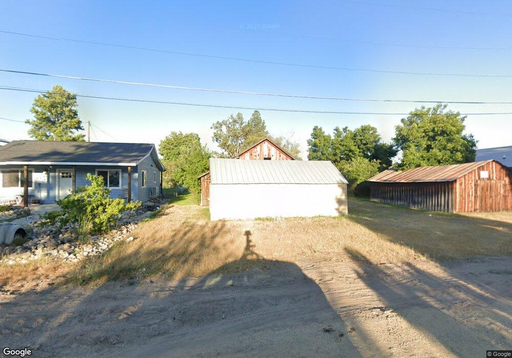
210 Mission St Stevensville, MT 59870
Stevensville NeighborhoodEstimated Value: $124,000 - $383,040
3
Beds
2
Baths
--
Sq Ft
$-103,753/Sq Ft
Est. Value
About This Home
This home is located at 210 Mission St, Stevensville, MT 59870 and is currently estimated at $311,260. 210 Mission St is a home located in Ravalli County with nearby schools including Stevensville Elementary School, Stevensville Junior High School, and Stevensville High School.
Ownership History
Date
Name
Owned For
Owner Type
Purchase Details
Closed on
Oct 26, 2022
Sold by
Mickens Carolyn May
Bought by
Shorter Rosalee
Current Estimated Value
Home Financials for this Owner
Home Financials are based on the most recent Mortgage that was taken out on this home.
Original Mortgage
$265,000
Outstanding Balance
$255,284
Interest Rate
6.02%
Mortgage Type
New Conventional
Estimated Equity
$55,976
Purchase Details
Closed on
Aug 9, 2006
Bought by
Mickens Carolyn May
Create a Home Valuation Report for This Property
The Home Valuation Report is an in-depth analysis detailing your home's value as well as a comparison with similar homes in the area
Home Values in the Area
Average Home Value in this Area
Purchase History
| Date | Buyer | Sale Price | Title Company |
|---|---|---|---|
| Shorter Rosalee | -- | None Listed On Document | |
| Mickens Carolyn May | -- | -- |
Source: Public Records
Mortgage History
| Date | Status | Borrower | Loan Amount |
|---|---|---|---|
| Open | Shorter Rosalee | $265,000 |
Source: Public Records
Tax History Compared to Growth
Tax History
| Year | Tax Paid | Tax Assessment Tax Assessment Total Assessment is a certain percentage of the fair market value that is determined by local assessors to be the total taxable value of land and additions on the property. | Land | Improvement |
|---|---|---|---|---|
| 2025 | $1,093 | $316,600 | $0 | $0 |
| 2024 | $1,575 | $258,800 | $0 | $0 |
| 2023 | $1,580 | $258,800 | $0 | $0 |
| 2022 | $1,277 | $166,200 | $0 | $0 |
| 2021 | $1,387 | $166,200 | $0 | $0 |
| 2020 | $1,096 | $126,300 | $0 | $0 |
| 2019 | $1,079 | $126,300 | $0 | $0 |
| 2018 | $1,059 | $127,600 | $0 | $0 |
| 2017 | $1,051 | $127,600 | $0 | $0 |
| 2016 | $882 | $106,800 | $0 | $0 |
| 2015 | $886 | $106,800 | $0 | $0 |
| 2014 | $964 | $69,473 | $0 | $0 |
Source: Public Records
Map
Nearby Homes
- 408 Buck St
- 404 Pine St
- Lot 5 Bessie Ln
- 262 Barbara St
- 252 Barbara St
- 413 5th St
- 308 8th St
- 304 10th St
- 325 Valley View St
- 306 Valley View St
- 1100 College St
- 819 E 2nd St
- 623 Park St Unit 3
- 3808 Eastside Hwy
- NHN Mystic River Rd
- 3806 Eastside Hwy
- 101 Binks Way Unit 19
- 211 Middle Burnt Fork Rd
- 26 Success Ct
- 1109 Heritage Dr