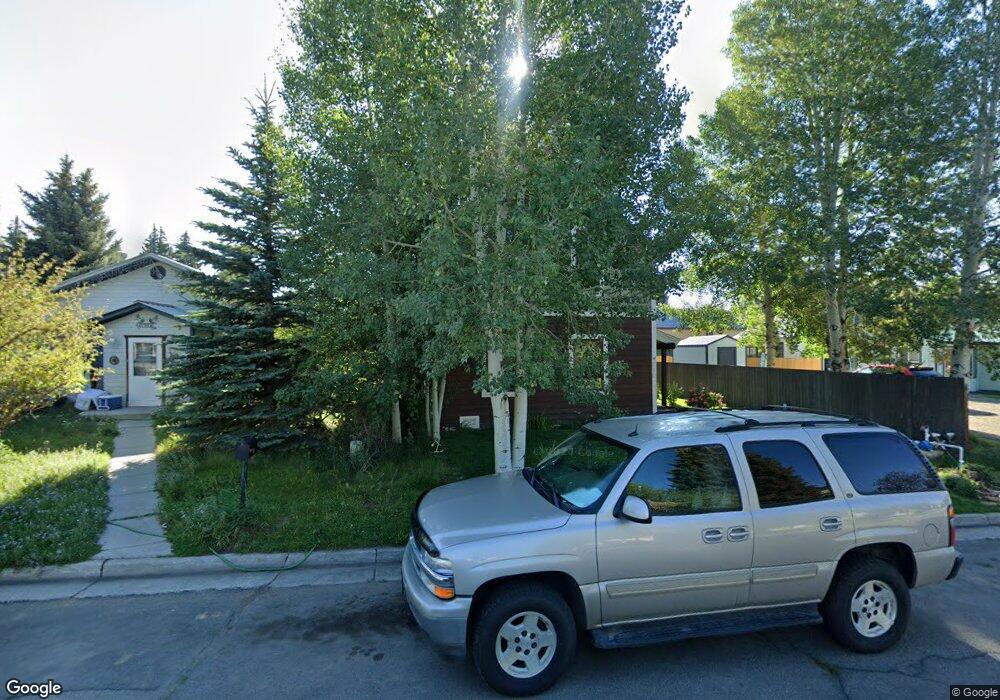
210 N 12th St Gunnison, CO 81230
Estimated Value: $625,586 - $747,000
2
Beds
2
Baths
1,782
Sq Ft
$376/Sq Ft
Est. Value
About This Home
This home is located at 210 N 12th St, Gunnison, CO 81230 and is currently estimated at $669,897, approximately $375 per square foot. 210 N 12th St is a home located in Gunnison County with nearby schools including Gunnison Elementary School, Gunnison Middle School, and Crested Butte Community School.
Ownership History
Date
Name
Owned For
Owner Type
Purchase Details
Closed on
Oct 30, 2012
Sold by
Jones Hali Kathryn Gex
Bought by
Just Robert M and Just June G
Current Estimated Value
Purchase Details
Closed on
Sep 8, 2011
Sold by
Virginia Investments Inc
Bought by
Jones Hall Kathryn Gex
Purchase Details
Closed on
Feb 15, 2006
Sold by
Brown Paul
Bought by
Mcgraw Larry and Mcgraw Jeri
Purchase Details
Closed on
Dec 17, 2003
Sold by
Hagler Irrevocable Family Trust
Bought by
Brown Paul
Create a Home Valuation Report for This Property
The Home Valuation Report is an in-depth analysis detailing your home's value as well as a comparison with similar homes in the area
Home Values in the Area
Average Home Value in this Area
Purchase History
| Date | Buyer | Sale Price | Title Company |
|---|---|---|---|
| Just Robert M | $260,000 | None Available | |
| Jones Hall Kathryn Gex | $250,000 | None Available | |
| Mcgraw Larry | $76,500 | None Available | |
| Brown Paul | $69,000 | -- |
Source: Public Records
Tax History Compared to Growth
Tax History
| Year | Tax Paid | Tax Assessment Tax Assessment Total Assessment is a certain percentage of the fair market value that is determined by local assessors to be the total taxable value of land and additions on the property. | Land | Improvement |
|---|---|---|---|---|
| 2024 | $1,632 | $34,710 | $9,960 | $24,750 |
| 2023 | $1,616 | $31,030 | $8,910 | $22,120 |
| 2022 | $1,818 | $30,450 | $3,990 | $26,460 |
| 2021 | $1,638 | $31,320 | $4,100 | $27,220 |
| 2020 | $1,427 | $25,720 | $4,050 | $21,670 |
| 2019 | $1,394 | $25,720 | $4,050 | $21,670 |
| 2018 | $1,167 | $20,920 | $4,250 | $16,670 |
| 2017 | $1,182 | $20,920 | $4,250 | $16,670 |
| 2016 | $1,393 | $24,800 | $2,910 | $21,890 |
Source: Public Records
Map
Nearby Homes
- 220 N Boulevard St Unit 17
- 436 N 11th St
- 718 W New York Ave
- 304 N 9th St Unit 2A
- 114 N 8th St
- 308 S 11th St Unit 1
- Lot 3 W Denver Ave
- 417 S Boulevard St Unit A
- 109 N 7th St
- 614 N Pine St
- 1005 W Denver Ave Unit G-4
- 1021 W Denver Ave Unit 4
- 1208 W Tomichi Ave Unit 4
- 215 S 7th St
- Lots 13-16 Us Highway 50 Frontage Rd
- 1314 W Tomichi Ave Unit 19
- 1310 W Tomichi Ave Unit 23
- 1313 W Ohio Ave Unit Lot 17
- TBD S 6th St
- 901 N Spruce St
- 214 N 12th St
- 612 W Virginia Ave
- 218 N 12th St
- 204 N 12th St
- 201 N Boulevard St
- 221 N Boulevard St
- 221 N Boulevard St
- 608 W Virginia Ave
- 602 W Virginia Ave
- 225 N Boulevard St
- W Virginia Ave
- 203 N 12th St
- 706 W Virginia Ave
- 211 N 12th St
- 215 N 12th St
- 215 N 12th St
- 215 N 12th St
- 215 N 12th St Unit 1 & 2
- 201 N 12th St
- 219 N 12th St