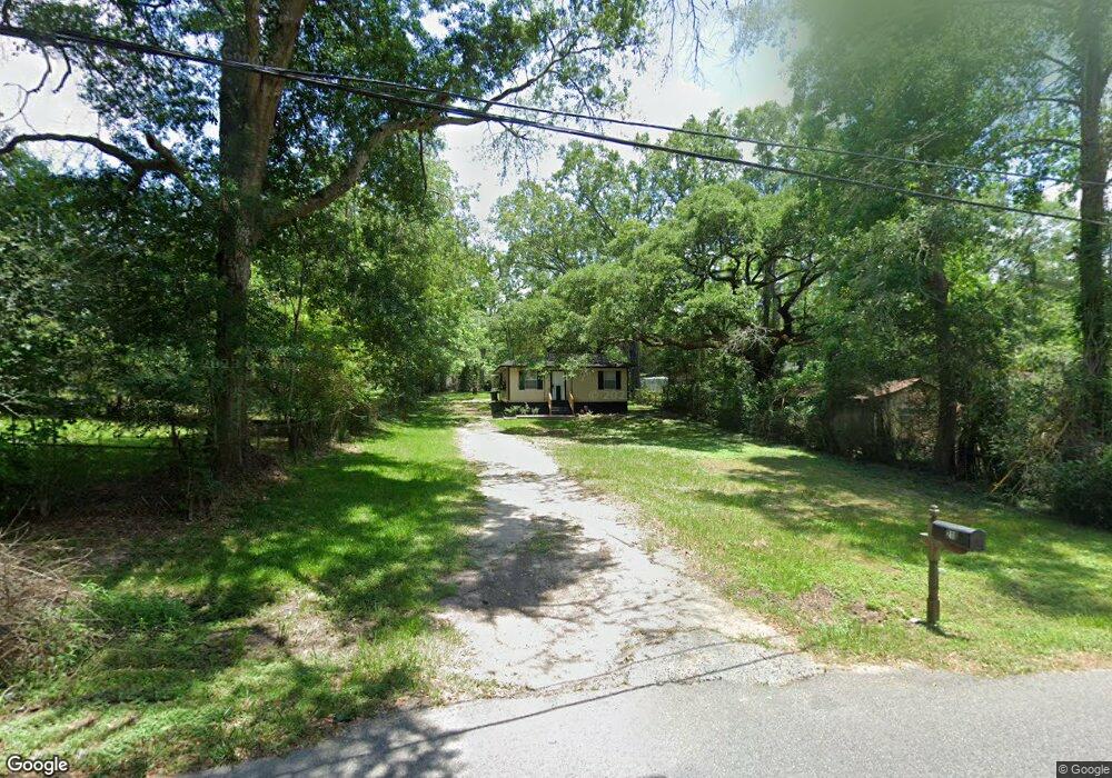
210 N Anderson Ave Mobile, AL 36612
Whistler NeighborhoodEstimated Value: $41,000 - $74,000
2
Beds
1
Bath
1,232
Sq Ft
$42/Sq Ft
Est. Value
About This Home
This home is located at 210 N Anderson Ave, Mobile, AL 36612 and is currently estimated at $52,208, approximately $42 per square foot. 210 N Anderson Ave is a home located in Mobile County with nearby schools including Elizabeth S Chastang-Fournier K-8 School, Vigor High School, and Prichard Preparatory School.
Ownership History
Date
Name
Owned For
Owner Type
Purchase Details
Closed on
May 15, 2023
Sold by
Ruggs Richard H
Bought by
Ruggs Richard H and Dees-Ruggs Vivian
Current Estimated Value
Purchase Details
Closed on
Feb 7, 2005
Sold by
Pace Mortgage Inc
Bought by
Ruggs Richard H
Home Financials for this Owner
Home Financials are based on the most recent Mortgage that was taken out on this home.
Original Mortgage
$31,000
Interest Rate
12%
Mortgage Type
Seller Take Back
Purchase Details
Closed on
Jan 12, 2005
Sold by
Blount Hugh L
Bought by
Pace Mortgage Inc
Home Financials for this Owner
Home Financials are based on the most recent Mortgage that was taken out on this home.
Original Mortgage
$31,000
Interest Rate
12%
Mortgage Type
Seller Take Back
Create a Home Valuation Report for This Property
The Home Valuation Report is an in-depth analysis detailing your home's value as well as a comparison with similar homes in the area
Home Values in the Area
Average Home Value in this Area
Purchase History
| Date | Buyer | Sale Price | Title Company |
|---|---|---|---|
| Ruggs Richard H | $18,500 | None Listed On Document | |
| Ruggs Richard H | $31,750 | -- | |
| Pace Mortgage Inc | -- | -- |
Source: Public Records
Mortgage History
| Date | Status | Borrower | Loan Amount |
|---|---|---|---|
| Previous Owner | Ruggs Richard H | $31,000 |
Source: Public Records
Tax History Compared to Growth
Tax History
| Year | Tax Paid | Tax Assessment Tax Assessment Total Assessment is a certain percentage of the fair market value that is determined by local assessors to be the total taxable value of land and additions on the property. | Land | Improvement |
|---|---|---|---|---|
| 2024 | $423 | $3,440 | $450 | $2,990 |
| 2023 | $423 | $3,630 | $380 | $3,250 |
| 2022 | $446 | $7,260 | $760 | $6,500 |
| 2021 | $446 | $7,260 | $760 | $6,500 |
| 2020 | $159 | $3,630 | $380 | $3,250 |
| 2019 | $163 | $3,700 | $0 | $0 |
| 2018 | $163 | $3,700 | $0 | $0 |
| 2017 | $163 | $3,700 | $0 | $0 |
| 2016 | $169 | $3,820 | $0 | $0 |
| 2013 | $152 | $3,360 | $0 | $0 |
Source: Public Records
Map
Nearby Homes
- 3820 W Main St
- 3412 Emerald St
- 3142 W Turner Rd
- 636 Opp Ave
- 3110 W Turner Rd
- 0 Bear Fork Rd
- 0 Dykes Rd Unit 7512446
- 0 Dykes Rd Unit 7512439
- 1640 Bear Fork Rd
- 551 3rd Ave
- 3603 St Stephens Rd
- 3224 Saint Stephens Rd
- 414 W Grant St
- 1647 Wolf Ridge Rd
- 0 Lee St W Unit 7515345
- 315 8th Ave
- 2716 Bellmeade Dr
- 4704 Leaf Dr
- 4536 Charles E Hall Dr
- 253 9th Ave
- 3628 Minmarsue Dr
- 3636 Minmarsue Dr
- 3623 Whistler St
- 3629 Whistler St
- 3617 Whistler St
- 3633 Whistler St
- 3624 Minmarsue Dr
- 3613 Whistler St
- 3609 Whistler St
- 3629 Minmarsue Dr
- 3620 Minmarsue Dr
- 3621 Minmarsue Dr
- 142 N Anderson Ave
- 3601 Whistler St
- 3614 Minmarsue Dr
- 3607 Whistler St
- 3622 Whistler St
- 3632 Whistler St
- 143 N Anderson Ave
- 3605 Minmarsue Dr