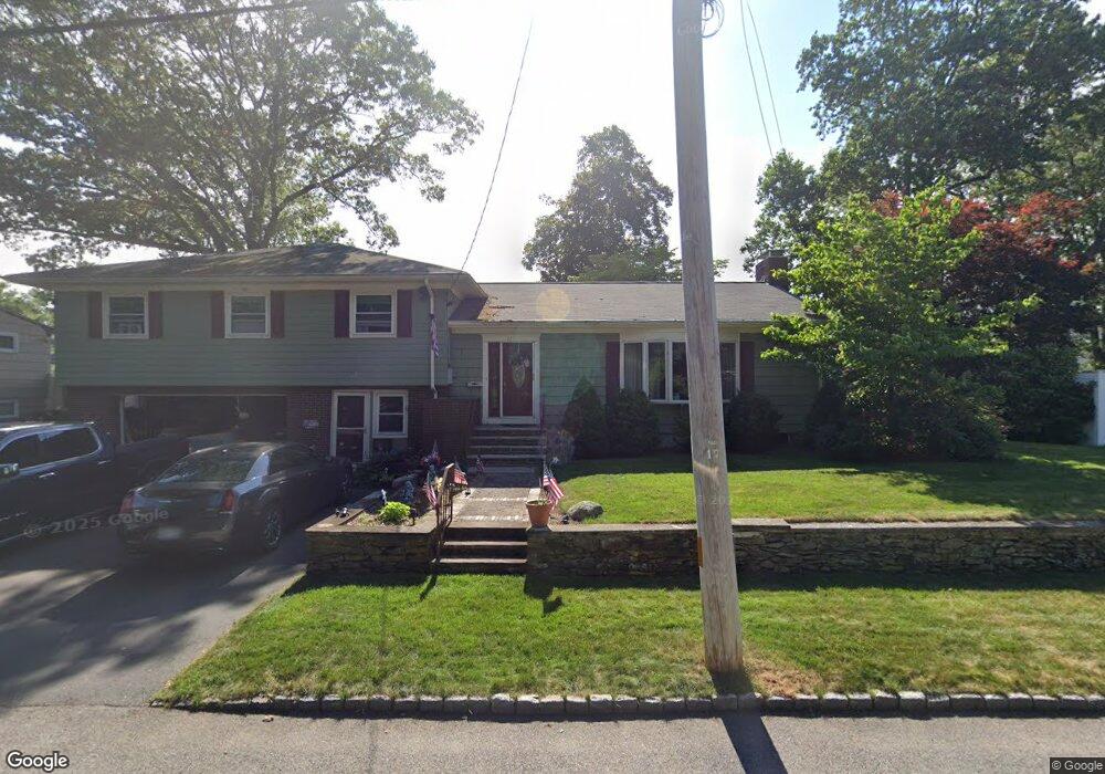
210 Parkside Ave Pawtucket, RI 02861
Darlington NeighborhoodEstimated Value: $529,000 - $702,000
4
Beds
4
Baths
1,950
Sq Ft
$304/Sq Ft
Est. Value
About This Home
This home is located at 210 Parkside Ave, Pawtucket, RI 02861 and is currently estimated at $593,032, approximately $304 per square foot. 210 Parkside Ave is a home located in Providence County with nearby schools including St Cecilia School and Saint Teresa Catholic Elementary School.
Ownership History
Date
Name
Owned For
Owner Type
Purchase Details
Closed on
May 20, 2021
Sold by
Nunes Alberto M and Nunes Gail M
Bought by
Nunes Ft
Current Estimated Value
Purchase Details
Closed on
Dec 16, 1994
Sold by
Trahan Leo R and Trahan Dorothy
Bought by
Nunes Alberto M and Nunes Gail
Create a Home Valuation Report for This Property
The Home Valuation Report is an in-depth analysis detailing your home's value as well as a comparison with similar homes in the area
Home Values in the Area
Average Home Value in this Area
Purchase History
| Date | Buyer | Sale Price | Title Company |
|---|---|---|---|
| Nunes Ft | -- | None Available | |
| Nunes Alberto M | $135,000 | -- |
Source: Public Records
Mortgage History
| Date | Status | Borrower | Loan Amount |
|---|---|---|---|
| Previous Owner | Nunes Alberto M | $150,000 | |
| Previous Owner | Nunes Alberto M | $180,000 | |
| Previous Owner | Nunes Alberto M | $178,000 | |
| Previous Owner | Nunes Alberto M | $109,500 |
Source: Public Records
Tax History Compared to Growth
Tax History
| Year | Tax Paid | Tax Assessment Tax Assessment Total Assessment is a certain percentage of the fair market value that is determined by local assessors to be the total taxable value of land and additions on the property. | Land | Improvement |
|---|---|---|---|---|
| 2025 | $7,331 | $557,500 | $175,900 | $381,600 |
| 2024 | $6,880 | $557,500 | $175,900 | $381,600 |
| 2023 | $6,007 | $354,600 | $106,400 | $248,200 |
| 2022 | $5,879 | $354,600 | $106,400 | $248,200 |
| 2021 | $5,879 | $354,600 | $106,400 | $248,200 |
| 2020 | $6,409 | $306,800 | $108,500 | $198,300 |
| 2019 | $6,409 | $306,800 | $108,500 | $198,300 |
| 2018 | $6,176 | $306,800 | $108,500 | $198,300 |
| 2017 | $5,821 | $256,200 | $83,200 | $173,000 |
| 2016 | $5,608 | $256,200 | $83,200 | $173,000 |
| 2015 | $5,608 | $256,200 | $83,200 | $173,000 |
| 2014 | $6,072 | $263,300 | $83,200 | $180,100 |
Source: Public Records
Map
Nearby Homes
- 185 Parkside Ave
- 119 Gregory Dr
- 329 Pullen Ave
- 27 Marlaine Dr
- 228 London Ave
- 127 Ricard St
- 1150 Newman Ave
- 120 Rowe Ave
- 358 Orient Ave
- 51 Roosevelt St
- 51 Benjamin St
- 496 Daggett Ave
- 126 Suffolk Ave
- 143 Hatfield St
- 1167 Newport Ave
- 888 Central Ave
- 66 1st St
- 95 Federal St
- 84 Bellevue Ave
- 342 Grand Ave
- 194 Parkside Ave
- 175 Brookdale Blvd
- 224 Parkside Ave
- 167 Brookdale Blvd
- 189 Brookdale Blvd
- 161 Brookdale Blvd
- 182 Parkside Ave
- 201 Parkside Ave
- 195 Brookdale Blvd
- 145 Brookdale Blvd
- 234 Parkside Ave
- 176 Parkside Ave
- 201 Brookdale Blvd
- 143 Brookdale Blvd
- 179 Parkside Ave
- 172 Brookdale Blvd
- 180 Brookdale Blvd
- 164 Brookdale Blvd
- 190 Brookdale Blvd
- 168 Parkside Ave