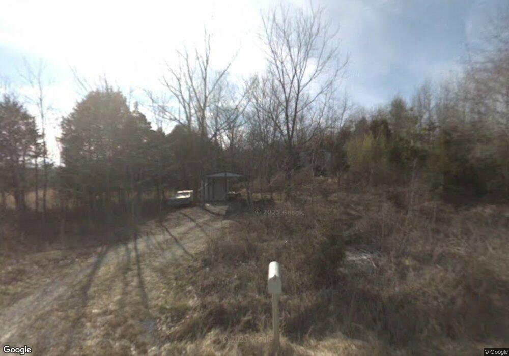
210 Point Ln Walling, TN 38587
Estimated Value: $83,321 - $229,000
Studio
--
Bath
--
Sq Ft
140,263
Sq Ft
About This Home
This home is located at 210 Point Ln, Walling, TN 38587 and is currently estimated at $158,440. 210 Point Ln is a home located in White County with nearby schools including Central View Elementary School, White County Middle School, and White County High School.
Ownership History
Date
Name
Owned For
Owner Type
Purchase Details
Closed on
Jun 20, 1996
Sold by
Tennessee Land Capital
Bought by
Sterling Gilliam Mark
Current Estimated Value
Purchase Details
Closed on
Jun 18, 1996
Sold by
Tennessee Land Capital
Bought by
Tennessee Land Capital
Purchase Details
Closed on
Apr 1, 1996
Bought by
Tenn Land & Capital Inc
Purchase Details
Closed on
Apr 22, 1993
Bought by
Luna Charles M Luna Guy
Purchase Details
Closed on
Dec 20, 1985
Bought by
Tire Tread Development Inc
Purchase Details
Closed on
Jan 3, 1900
Purchase Details
Closed on
Jan 2, 1900
Create a Home Valuation Report for This Property
The Home Valuation Report is an in-depth analysis detailing your home's value as well as a comparison with similar homes in the area
Purchase History
| Date | Buyer | Sale Price | Title Company |
|---|---|---|---|
| Sterling Gilliam Mark | $7,000 | -- | |
| Tennessee Land Capital | -- | -- | |
| Tenn Land & Capital Inc | $15,800 | -- | |
| Luna Charles M Luna Guy | $145,000 | -- | |
| Tire Tread Development Inc | -- | -- | |
| -- | -- | -- | |
| -- | -- | -- |
Source: Public Records
Tax History
| Year | Tax Paid | Tax Assessment Tax Assessment Total Assessment is a certain percentage of the fair market value that is determined by local assessors to be the total taxable value of land and additions on the property. | Land | Improvement |
|---|---|---|---|---|
| 2025 | $129 | $9,175 | $8,575 | $600 |
| 2024 | $129 | $6,300 | $5,700 | $600 |
| 2023 | $129 | $6,300 | $5,700 | $600 |
| 2022 | $129 | $6,300 | $5,700 | $600 |
| 2021 | $129 | $6,300 | $5,700 | $600 |
| 2020 | $129 | $6,300 | $5,700 | $600 |
| 2019 | $116 | $5,650 | $5,050 | $600 |
| 2018 | $116 | $5,650 | $5,050 | $600 |
| 2017 | $116 | $5,650 | $5,050 | $600 |
| 2016 | $116 | $5,650 | $5,050 | $600 |
| 2015 | $105 | $5,650 | $5,050 | $600 |
| 2014 | -- | $5,650 | $5,050 | $600 |
| 2013 | -- | $5,675 | $5,075 | $600 |
Source: Public Records
Map
Nearby Homes
- 265 N Center Point Acres
- 0 Center Point Acres N Unit 1322803
- 0 Center Point Acres N Unit 240744
- 0 Center Point Acres N Unit RTC3050083
- 1295 Darkey Springs Rd
- 13400 Old Kentucky Rd
- 131 Collingwood Rd
- 13723 Old Kentucky Rd
- 13593 Old Kentucky Rd
- 1248 Lowery Rd
- 4200 #1 Will Thompson Rd
- 11.38ac Will Thompson Rd
- 4200 #3 Will Thompson Rd
- 4200 #5 Will Thompson Rd
- 4200 #2 Will Thompson Rd
- 4200 #4 Will Thompson Rd
- 4200 #6 Will Thompson Rd
- 14305 Old Kentucky Rd
- 14133 Old Kentucky Rd
- 582 Doug Luna Rd
- 244 Point Ln
- 523 N Center Point Acres
- 298 Point Ln
- 00 N Center Point Acres
- 315 N Center Point Acres
- 510 Point Ln
- 550 N Center Point Acres
- 14.43 AC Center Point Acres N
- 0 Center Point Acres N Unit RTC2807658
- 0 Center Point Acres N Unit 229389
- 0 Center Point Acres N Unit 1231497
- 0 Center Point Acres N Unit RTC2540910
- 0 Center Point Acres N Unit RTC2681160
- 5 Point Ln
- 00 Center Point Acres N
- 1227 Darkey Springs Rd
- 114 N Center Point Acres
- 141 N Center Point Acres
- 1393 Darkey Springs Rd
- 619 Point Ln
Your Personal Tour Guide
Ask me questions while you tour the home.