210 Power Line Rd Tamworth, NH 03886
Estimated Value: $309,000 - $367,000
3
Beds
3
Baths
1,033
Sq Ft
$331/Sq Ft
Est. Value
About This Home
This home is located at 210 Power Line Rd, Tamworth, NH 03886 and is currently estimated at $341,451, approximately $330 per square foot. 210 Power Line Rd is a home located in Carroll County with nearby schools including Kenneth A. Brett School.
Create a Home Valuation Report for This Property
The Home Valuation Report is an in-depth analysis detailing your home's value as well as a comparison with similar homes in the area
Home Values in the Area
Average Home Value in this Area
Tax History Compared to Growth
Tax History
| Year | Tax Paid | Tax Assessment Tax Assessment Total Assessment is a certain percentage of the fair market value that is determined by local assessors to be the total taxable value of land and additions on the property. | Land | Improvement |
|---|---|---|---|---|
| 2024 | $3,854 | $267,100 | $70,500 | $196,600 |
| 2023 | $3,673 | $145,600 | $46,000 | $99,600 |
| 2022 | $3,461 | $145,600 | $46,000 | $99,600 |
| 2021 | $3,224 | $145,600 | $46,000 | $99,600 |
| 2020 | $3,273 | $145,600 | $46,000 | $99,600 |
| 2019 | $3,136 | $145,600 | $46,000 | $99,600 |
| 2018 | $3,058 | $132,600 | $19,300 | $113,300 |
| 2017 | $3,010 | $132,600 | $19,300 | $113,300 |
| 2016 | $3,042 | $132,600 | $19,300 | $113,300 |
| 2015 | $3,030 | $132,600 | $19,300 | $113,300 |
| 2013 | $2,934 | $146,700 | $31,000 | $115,700 |
Source: Public Records
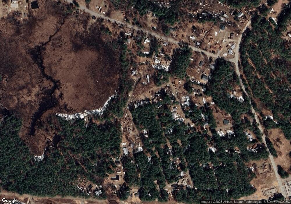
Map
Nearby Homes
- 24 Flynn Ln
- 58 Thibodeau Ln
- 80 Elliot Ln
- 1118 Turkey St
- 17 Amidon Ln
- Lot 18.1 White Mountain Hwy
- 48 South Way
- 222 Mcgrew Dr
- 400 Turkey St
- 1785 White Mountain Hwy
- 156 Fawn Dr
- 71 May's Way
- 198 White Tail Ln
- 5 Fox Run Rd
- 10 Alexander Ave
- Map 206 Lot 28 Whittier Rd
- 12 Logan Way
- 756 Whittier Rd
- 82 Alexander Ave
- 20 Pine Lane Rd