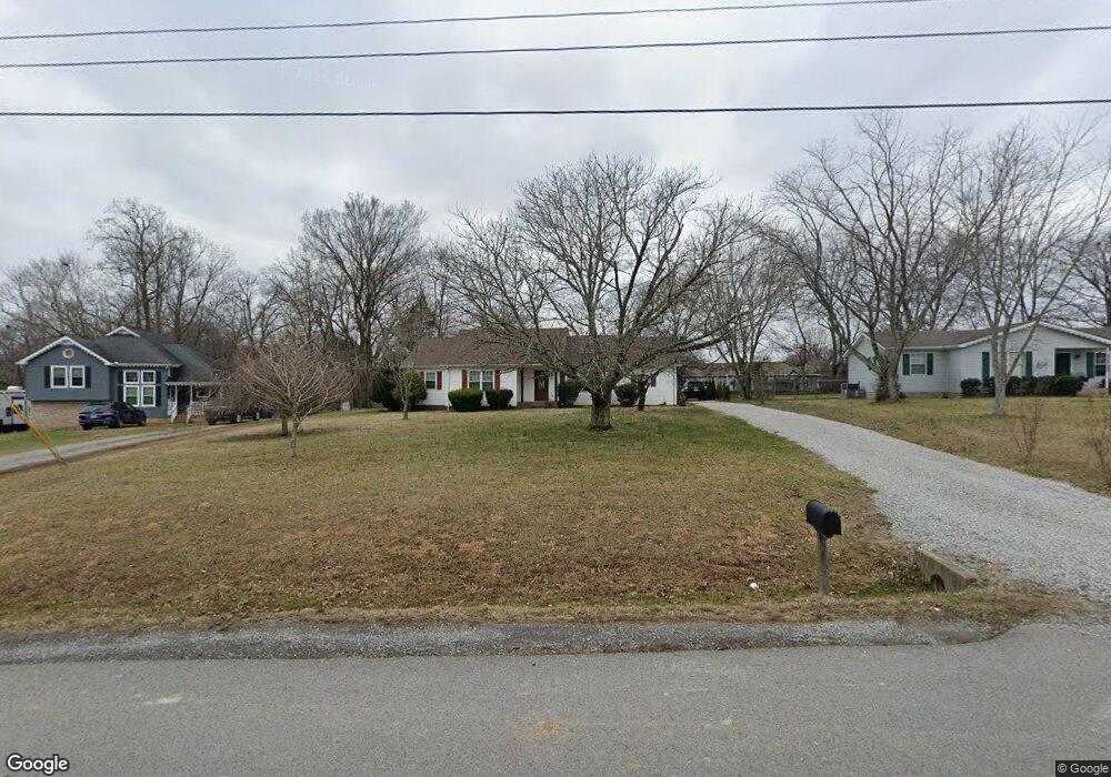
210 Robert Ave White House, TN 37188
Estimated Value: $299,000 - $369,000
Studio
2
Baths
1,539
Sq Ft
$219/Sq Ft
Est. Value
About This Home
This home is located at 210 Robert Ave, White House, TN 37188 and is currently estimated at $337,313, approximately $219 per square foot. 210 Robert Ave is a home located in Sumner County with nearby schools including Harold B. Williams Elementary School, White House Middle School, and White House High School.
Ownership History
Date
Name
Owned For
Owner Type
Purchase Details
Closed on
Aug 26, 2016
Sold by
Mccormick Ronald A and Mccormick Emily H
Bought by
Mccormick Ronald Addam and Mccormick Emily H
Current Estimated Value
Home Financials for this Owner
Home Financials are based on the most recent Mortgage that was taken out on this home.
Original Mortgage
$114,500
Outstanding Balance
$50,988
Interest Rate
3.45%
Mortgage Type
New Conventional
Estimated Equity
$286,325
Purchase Details
Closed on
Dec 20, 2001
Sold by
Marentette Kyle G and Marentette Michelle
Bought by
Mccormick Ronald A and Hendrix Emily A
Home Financials for this Owner
Home Financials are based on the most recent Mortgage that was taken out on this home.
Original Mortgage
$109,900
Interest Rate
6.49%
Create a Home Valuation Report for This Property
The Home Valuation Report is an in-depth analysis detailing your home's value as well as a comparison with similar homes in the area
Home Values in the Area
Average Home Value in this Area
Purchase History
We collect this data history from publicly available records. To have your information removed, we recommend requesting removal directly through your county’s website.
| Date | Buyer | Sale Price | Title Company |
|---|---|---|---|
| Mccormick Ronald Addam | -- | Rudy Title & Escrow | |
| Mccormick Ronald A | $109,900 | Hallmark Title Company |
Source: Public Records
Mortgage History
We collect this data history from publicly available records. To have your information removed, we recommend requesting removal directly through your county’s website.
| Date | Status | Borrower | Loan Amount |
|---|---|---|---|
| Open | Mccormick Ronald Addam | $114,500 | |
| Closed | Mccormick Ronald A | $109,900 |
Source: Public Records
Tax History
| Year | Tax Paid | Tax Assessment Tax Assessment Total Assessment is a certain percentage of the fair market value that is determined by local assessors to be the total taxable value of land and additions on the property. | Land | Improvement |
|---|---|---|---|---|
| 2025 | $1,137 | $80,025 | $21,250 | $58,775 |
| 2024 | $1,137 | $80,025 | $21,250 | $58,775 |
| 2023 | $1,656 | $46,150 | $15,350 | $30,800 |
| 2022 | $1,638 | $46,150 | $15,350 | $30,800 |
| 2021 | $1,638 | $46,150 | $15,350 | $30,800 |
| 2020 | $1,522 | $46,150 | $15,350 | $30,800 |
| 2019 | $1,522 | $0 | $0 | $0 |
| 2018 | $1,228 | $0 | $0 | $0 |
| 2017 | $1,228 | $0 | $0 | $0 |
| 2016 | $823 | $0 | $0 | $0 |
| 2015 | -- | $0 | $0 | $0 |
| 2014 | -- | $0 | $0 | $0 |
Source: Public Records
Map
Nearby Homes
- 212 Robert Ave
- 206 Woodhall Ct
- 210 Woodhall Ct
- 112 Covington Bend
- 413 Meandering Way
- 109 Tyree Springs Rd
- 204 Hickory Trail
- 443 Meandering Way
- 105 Eastside Dr
- 152 Covington Bend
- 204 Creekwood Dr
- 3336 31w Hwy S
- 418 Portland Rd
- 616 Streamview Dr
- 7085 Scotlyn Way
- 0 Highway 31 W
- 216 Fischer Dr
- 601 N Palmers Chapel Rd
- 105 Pleasant Ln
- 208 Kennedy Dr
- 208 Robert Ave
- 428 Christian Dr
- 214 Robert Ave
- 206 Robert Ave
- 424 Christian Dr
- 432 Christian Dr
- 216 Robert Ave
- 207 Robert Ave
- 211 Robert Ave
- 436 Christian Dr
- 213 Robert Ave
- 209 Robert Ave
- 204 Robert Ave
- 205 Robert Ave
- 218 Robert Ave
- 440 Christian Dr
- 413 Christian Dr
- 416 Christian Dr
- 202 Robert Ave
- 217 Robert Ave
Your Personal Tour Guide
Ask me questions while you tour the home.