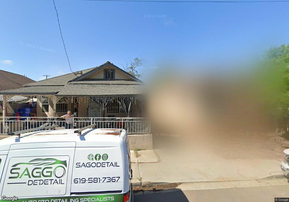
210 S 29th St Unit 12 San Diego, CA 92113
Logan Heights NeighborhoodEstimated Value: $686,000 - $734,000
3
Beds
2
Baths
1,168
Sq Ft
$605/Sq Ft
Est. Value
About This Home
This home is located at 210 S 29th St Unit 12, San Diego, CA 92113 and is currently estimated at $707,028, approximately $605 per square foot. 210 S 29th St Unit 12 is a home located in San Diego County with nearby schools including Logan Memorial Educational Campus, King-Chavez Academy Of Excellence, and King-Chavez Primary Academy.
Ownership History
Date
Name
Owned For
Owner Type
Purchase Details
Closed on
Feb 20, 2007
Sold by
Lopez Mercedes
Bought by
Lopez Alberto and Lopez Mercedes
Current Estimated Value
Home Financials for this Owner
Home Financials are based on the most recent Mortgage that was taken out on this home.
Original Mortgage
$256,000
Outstanding Balance
$161,949
Interest Rate
2%
Mortgage Type
Stand Alone Refi Refinance Of Original Loan
Estimated Equity
$545,079
Purchase Details
Closed on
Feb 23, 2006
Sold by
Lopez Mercedes
Bought by
Lopez Alberto and Lopez Mercedes
Home Financials for this Owner
Home Financials are based on the most recent Mortgage that was taken out on this home.
Original Mortgage
$178,000
Interest Rate
6.15%
Mortgage Type
Stand Alone Refi Refinance Of Original Loan
Purchase Details
Closed on
Feb 26, 2004
Sold by
Molina Benita
Bought by
Lopez Alberto and Lopez Mercedes
Home Financials for this Owner
Home Financials are based on the most recent Mortgage that was taken out on this home.
Original Mortgage
$94,000
Interest Rate
7.25%
Mortgage Type
Unknown
Purchase Details
Closed on
Feb 18, 2004
Sold by
Lopez Alberto and Lopez Mercedes
Bought by
Lopez Alberto and Lopez Mercedes
Home Financials for this Owner
Home Financials are based on the most recent Mortgage that was taken out on this home.
Original Mortgage
$94,000
Interest Rate
7.25%
Mortgage Type
Unknown
Purchase Details
Closed on
Feb 9, 2004
Sold by
Lopez Alberto and Lopez Mercedes
Bought by
Lopez Albert and Lopez Mercedes
Home Financials for this Owner
Home Financials are based on the most recent Mortgage that was taken out on this home.
Original Mortgage
$94,000
Interest Rate
7.25%
Mortgage Type
Unknown
Purchase Details
Closed on
Mar 8, 1997
Sold by
Hamilton Carroll L
Bought by
Lopez Alberto and Lopez Mercedes
Home Financials for this Owner
Home Financials are based on the most recent Mortgage that was taken out on this home.
Original Mortgage
$78,152
Interest Rate
7.81%
Mortgage Type
Seller Take Back
Purchase Details
Closed on
Jun 29, 1988
Create a Home Valuation Report for This Property
The Home Valuation Report is an in-depth analysis detailing your home's value as well as a comparison with similar homes in the area
Home Values in the Area
Average Home Value in this Area
Purchase History
| Date | Buyer | Sale Price | Title Company |
|---|---|---|---|
| Lopez Alberto | -- | Accommodation | |
| Lopez Mercedes | -- | New Century Title Company | |
| Lopez Alberto | -- | Accommodation | |
| Lopez Mercedes | -- | New Century Title Company | |
| Lopez Alberto | -- | Stewart Title Of Ca Inc | |
| Lopez Alberto | -- | Stewart Title Of Ca Inc | |
| Lopez Albert | -- | -- | |
| Lopez Alberto | $78,500 | Orange Coast Title Companies | |
| -- | $50,000 | -- |
Source: Public Records
Mortgage History
| Date | Status | Borrower | Loan Amount |
|---|---|---|---|
| Open | Lopez Mercedes | $256,000 | |
| Closed | Lopez Mercedes | $178,000 | |
| Closed | Lopez Alberto | $94,000 | |
| Previous Owner | Lopez Alberto | $78,152 |
Source: Public Records
Tax History Compared to Growth
Tax History
| Year | Tax Paid | Tax Assessment Tax Assessment Total Assessment is a certain percentage of the fair market value that is determined by local assessors to be the total taxable value of land and additions on the property. | Land | Improvement |
|---|---|---|---|---|
| 2025 | $3,039 | $249,463 | $139,169 | $110,294 |
| 2024 | $3,039 | $244,573 | $136,441 | $108,132 |
| 2023 | $2,972 | $239,778 | $133,766 | $106,012 |
| 2022 | $2,893 | $235,078 | $131,144 | $103,934 |
| 2021 | $2,873 | $230,470 | $128,573 | $101,897 |
| 2020 | $2,839 | $228,108 | $127,255 | $100,853 |
| 2019 | $2,789 | $223,636 | $124,760 | $98,876 |
| 2018 | $2,608 | $219,252 | $122,314 | $96,938 |
| 2017 | $80 | $214,954 | $119,916 | $95,038 |
| 2016 | $2,505 | $210,740 | $117,565 | $93,175 |
| 2015 | $2,468 | $207,576 | $115,800 | $91,776 |
| 2014 | $2,430 | $203,511 | $113,532 | $89,979 |
Source: Public Records
Map
Nearby Homes
- 2946 Commercial St
- 2948 Franklin Ave
- 2925 Franklin Ave
- 2971/2971 1/2 Imperial Ave
- 2942 N L St
- 3035 L St
- 3045 L St
- 2701-11 Imperial Ave
- 431 Sampson St
- 2832 K St
- 2185 Harrison Ave
- 311-13 28th St
- 0 J St Unit NDP2509260
- 2680 L St
- 3203 Webster Ave
- 325 Dewey St
- 3193 Imperial Ave
- 2057-59 Harrison Ave
- 2547 Commercial St
- 3209 L St
- 206 S 29th St
- 2883 Webster Ave
- 220 S 29th St
- 2877 Webster Ave
- 2875 Webster Ave
- 2867 Webster Ave
- 226 S 29th St
- 2867-69 Webster Ave
- 2863 Webster Ave Unit 65
- 2911 Webster Ave
- 2898 Webster Ave
- 2874 Clay Ave
- 2884 Clay Ave
- 2880 Webster Ave
- 2915 Webster Ave
- 2855 Webster Ave
- 2868 Clay Ave
- 2886 Webster Ave
- 2904 Webster Ave
- 2917 Webster Ave