210 S Andrew Dr NE New London, MN 56273
Estimated Value: $316,000 - $453,658
1
Bed
--
Bath
600
Sq Ft
$646/Sq Ft
Est. Value
About This Home
This home is located at 210 S Andrew Dr NE, New London, MN 56273 and is currently estimated at $387,553, approximately $645 per square foot. 210 S Andrew Dr NE is a home located in Kandiyohi County with nearby schools including Prairie Woods Elementary School, New London-Spicer Middle School, and New London-Spicer Senior High School.
Ownership History
Date
Name
Owned For
Owner Type
Purchase Details
Closed on
Sep 24, 2010
Sold by
Shinnick Michael R and Shinnick Kari
Bought by
Condon Robert P and Condon Kathryn A
Current Estimated Value
Home Financials for this Owner
Home Financials are based on the most recent Mortgage that was taken out on this home.
Original Mortgage
$150,000
Outstanding Balance
$50,747
Interest Rate
4.45%
Mortgage Type
Purchase Money Mortgage
Estimated Equity
$336,806
Purchase Details
Closed on
May 15, 2006
Sold by
Otterness Karla A
Bought by
Shinnick Michael R
Home Financials for this Owner
Home Financials are based on the most recent Mortgage that was taken out on this home.
Original Mortgage
$110,000
Interest Rate
6.56%
Mortgage Type
New Conventional
Create a Home Valuation Report for This Property
The Home Valuation Report is an in-depth analysis detailing your home's value as well as a comparison with similar homes in the area
Home Values in the Area
Average Home Value in this Area
Purchase History
| Date | Buyer | Sale Price | Title Company |
|---|---|---|---|
| Condon Robert P | $200,000 | Stewart Title Of Minnesota I | |
| Shinnick Michael R | $150,000 | Gibraltar Title |
Source: Public Records
Mortgage History
| Date | Status | Borrower | Loan Amount |
|---|---|---|---|
| Open | Condon Robert P | $150,000 | |
| Previous Owner | Shinnick Michael R | $110,000 |
Source: Public Records
Tax History Compared to Growth
Tax History
| Year | Tax Paid | Tax Assessment Tax Assessment Total Assessment is a certain percentage of the fair market value that is determined by local assessors to be the total taxable value of land and additions on the property. | Land | Improvement |
|---|---|---|---|---|
| 2025 | $2,660 | $292,800 | $236,200 | $56,600 |
| 2024 | $2,328 | $294,300 | $236,200 | $58,100 |
| 2023 | $2,256 | $263,400 | $213,000 | $50,400 |
| 2022 | $2,248 | $259,900 | $213,000 | $46,900 |
| 2021 | $2,312 | $220,200 | $194,500 | $25,700 |
| 2020 | $2,342 | $216,700 | $194,500 | $22,200 |
| 2019 | $2,392 | $217,100 | $194,500 | $22,600 |
| 2018 | $2,368 | $216,700 | $194,500 | $22,200 |
| 2017 | $2,290 | $216,300 | $194,500 | $21,800 |
| 2016 | $2,232 | $2,077 | $0 | $0 |
| 2015 | -- | $0 | $0 | $0 |
| 2014 | -- | $0 | $0 | $0 |
Source: Public Records
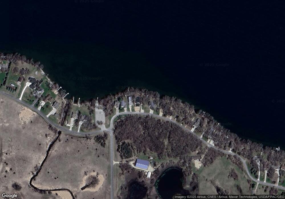
Map
Nearby Homes
- 870 S Andrew Dr NE
- 1122 S Andrew Dr NE
- TBD Lot E Co Rd 40
- 17216 County Road 5 NW
- 3614 198th Ave NW
- 23000 5th St NW
- 22869 5th St NW
- 1245 137th Ave NW
- TBD Lot H Co Rd 40
- 13112 2nd St NE
- 311 131st Ave NE
- 4539 141st Ave NE
- xxxx 195th Ave NE
- 4316 133rd Ave NE
- TBD Pine St NW
- 232 1st Ave NW
- 108 Meadow Ln
- 104 Meadow Ln
- 122 Ridge Rd
- TBD 161st Ave NE
- 188 S Andrew Dr NE
- 188 NE South Andrew Dr
- 232 S Andrew Dr NE
- 166 NE South Andrew Dr
- 166 S Andrew Dr NE
- 144 S Andrew Dr NE
- 144 S Andrew Dr NW
- 276 S Andrew Dr NE
- 122 S Andrew Dr NE
- 298 S Andrew Dr NE
- 320 S Andrew Dr NE
- 364 S Andrew Dr NW
- 386 S Andrew Dr NE
- 140 S Andrew Dr NW
- 408 S Andrew Dr NE
- 430 S Andrew Dr NE
- 452 S Andrew Dr NE
- 202 S Andrew Dr NW
- 474 S Andrew Dr NE
- 240 S Andrew Dr NW