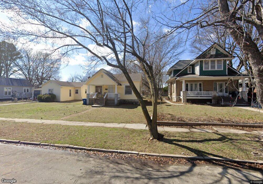
210 S Connor Ave Joplin, MO 64801
Gray NeighborhoodEstimated Value: $65,000 - $134,000
2
Beds
1
Bath
1,100
Sq Ft
$82/Sq Ft
Est. Value
About This Home
This home is located at 210 S Connor Ave, Joplin, MO 64801 and is currently estimated at $89,804, approximately $81 per square foot. 210 S Connor Ave is a home located in Jasper County with nearby schools including North Middle School, Joplin High School, and St. Peter's Middle School.
Ownership History
Date
Name
Owned For
Owner Type
Purchase Details
Closed on
Dec 29, 2021
Sold by
Madden Capital Llc
Bought by
Nible James
Current Estimated Value
Purchase Details
Closed on
Nov 10, 2021
Sold by
Christopher Donahue Eugene
Bought by
Madden Capital Llc
Purchase Details
Closed on
Jul 15, 2011
Sold by
Carman Judith Jane
Bought by
Donahue Eugene Christopher
Purchase Details
Closed on
Apr 16, 2008
Sold by
The Judy Carman Revocable Trust
Bought by
The Judith Jane & Michael E Carman Livin
Create a Home Valuation Report for This Property
The Home Valuation Report is an in-depth analysis detailing your home's value as well as a comparison with similar homes in the area
Home Values in the Area
Average Home Value in this Area
Purchase History
| Date | Buyer | Sale Price | Title Company |
|---|---|---|---|
| Nible James | -- | None Listed On Document | |
| Madden Capital Llc | -- | None Listed On Document | |
| Donahue Eugene Christopher | -- | Cb Title | |
| The Judith Jane & Michael E Carman Livin | -- | Fatco |
Source: Public Records
Tax History Compared to Growth
Tax History
| Year | Tax Paid | Tax Assessment Tax Assessment Total Assessment is a certain percentage of the fair market value that is determined by local assessors to be the total taxable value of land and additions on the property. | Land | Improvement |
|---|---|---|---|---|
| 2024 | $311 | $6,730 | $890 | $5,840 |
| 2023 | $311 | $6,730 | $890 | $5,840 |
| 2022 | $304 | $6,600 | $890 | $5,710 |
| 2021 | $302 | $6,600 | $890 | $5,710 |
| 2020 | $285 | $6,100 | $890 | $5,210 |
| 2019 | $286 | $6,100 | $890 | $5,210 |
| 2018 | $284 | $6,100 | $0 | $0 |
| 2017 | $286 | $6,100 | $0 | $0 |
| 2016 | $282 | $6,100 | $0 | $0 |
| 2015 | $281 | $6,100 | $0 | $0 |
| 2014 | $281 | $6,100 | $0 | $0 |
Source: Public Records
Map
Nearby Homes
- 206 S Connor Ave
- 202 S Connor Ave
- 911 W 2nd St
- 915 W 2nd St
- 815 W 4th St
- 109 N Jackson Ave
- 909 W A St
- 102 S Moffet Ave
- 220 N Jackson Ave
- 119 S Moffet Ave
- 222 N Jackson Ave
- 815 W 6th St
- 811 W 6th St
- 215 N Sergeant Ave
- 210 N Moffet Ave
- 216 N Moffet Ave Unit 220
- 524 W 5th St
- 602 S Sergeant Ave
- 421 W 3rd St
- 1402 W 2nd St
- 210 S Connor Ave Unit 1
- 214 S Connor Ave
- 218 S Connor Ave
- 908 W 2nd St
- 224 S Connor Ave
- 201 S Connor Ave
- 924 W 2nd St
- 215 S Connor Ave
- 907 W 2nd St
- 211 S Connor Ave Unit 1
- 211 S Connor Ave
- 207 S Connor Ave
- 207 S Connor Ave Unit 1
- 825 W 3rd St
- 926 W 2nd St
- 215 S Gray Ave
- 302 S Connor Ave
- 125 S Connor Ave
- 812 W 2nd St
- 911 W 2nd St Unit 2232975-41081