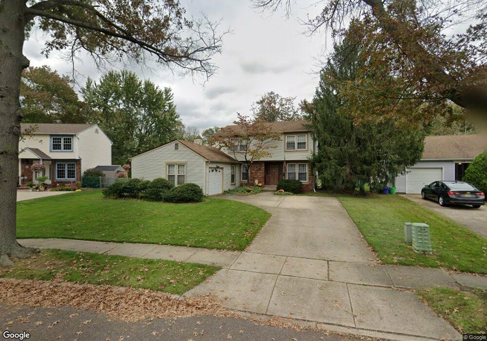
210 S Nassau Dr Haddonfield, NJ 08033
Estimated Value: $446,593 - $559,000
--
Bed
--
Bath
2,022
Sq Ft
$240/Sq Ft
Est. Value
About This Home
This home is located at 210 S Nassau Dr, Haddonfield, NJ 08033 and is currently estimated at $486,148, approximately $240 per square foot. 210 S Nassau Dr is a home located in Camden County with nearby schools including Avon Elementary School, Woodland Elementary School, and Saint Rose of Lima Catholic School.
Ownership History
Date
Name
Owned For
Owner Type
Purchase Details
Closed on
Jul 26, 1999
Sold by
Sharp George C
Bought by
Seeberger Robert J and Seeberger Maryann K
Current Estimated Value
Home Financials for this Owner
Home Financials are based on the most recent Mortgage that was taken out on this home.
Original Mortgage
$100,000
Outstanding Balance
$28,624
Interest Rate
7.6%
Estimated Equity
$457,524
Create a Home Valuation Report for This Property
The Home Valuation Report is an in-depth analysis detailing your home's value as well as a comparison with similar homes in the area
Home Values in the Area
Average Home Value in this Area
Purchase History
| Date | Buyer | Sale Price | Title Company |
|---|---|---|---|
| Seeberger Robert J | $149,900 | -- |
Source: Public Records
Mortgage History
| Date | Status | Borrower | Loan Amount |
|---|---|---|---|
| Open | Seeberger Robert J | $100,000 |
Source: Public Records
Tax History Compared to Growth
Tax History
| Year | Tax Paid | Tax Assessment Tax Assessment Total Assessment is a certain percentage of the fair market value that is determined by local assessors to be the total taxable value of land and additions on the property. | Land | Improvement |
|---|---|---|---|---|
| 2025 | $11,094 | $231,700 | $65,800 | $165,900 |
| 2024 | $10,711 | $231,700 | $65,800 | $165,900 |
| 2023 | $10,711 | $231,700 | $65,800 | $165,900 |
| 2022 | $10,482 | $231,700 | $65,800 | $165,900 |
| 2021 | $10,366 | $231,700 | $65,800 | $165,900 |
| 2020 | $10,195 | $231,700 | $65,800 | $165,900 |
| 2019 | $10,151 | $231,700 | $65,800 | $165,900 |
| 2018 | $9,954 | $231,700 | $65,800 | $165,900 |
| 2017 | $9,706 | $231,700 | $65,800 | $165,900 |
| 2016 | $9,753 | $260,000 | $99,200 | $160,800 |
| 2015 | $9,433 | $260,000 | $99,200 | $160,800 |
| 2014 | $9,035 | $260,000 | $99,200 | $160,800 |
Source: Public Records
Map
Nearby Homes
- 303 Highland Ave
- 134 Kent Rd
- 104 Bell Ave
- 1201 Wayne Rd
- 425 Peltoma Rd
- 425 White Horse Pike
- 315 Hutchinson Ave
- 518 Carver Ct
- 523 Carver Ct
- 302 3rd Ave
- 301 Bradshaw Ave
- 27 E Phoenix Ave
- 325 Albany Ave
- 0 Thomas Ave S
- 26 E Phoenix Ave
- 351 Bellevue Ave
- 33 E Gloucester Pike
- 29 E Gloucester Pike
- 428 Mansfield Ave
- 407 Kingston Ave
- 212 S Nassau Dr
- 208 S Nassau Dr
- 206 S Nassau Dr
- 301 Tavistock Blvd
- 205 S Nassau Dr
- 205 Nassau
- 207 S Nassau Dr
- 203 S Nassau Dr
- 214 S Nassau Dr
- 204 S Nassau Dr
- 209 S Nassau Dr
- 201 S Nassau Dr
- 202 S Nassau Dr
- 327 Tavistock Blvd
- 216 S Nassau Dr
- 244 N Nassau Dr
- 242 N Nassau Dr
- 200 Tavistock Blvd
- 246 N Nassau Dr
- 331 Tavistock Blvd