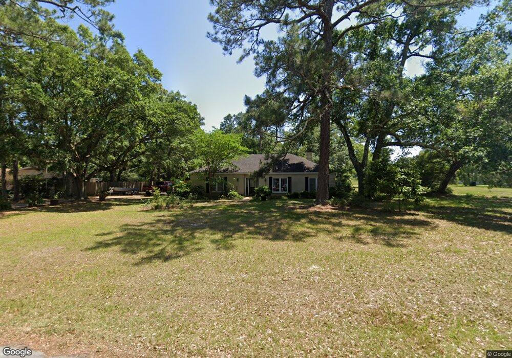
210 Saint Andrews Dr Ocean Springs, MS 39564
Estimated Value: $224,000 - $255,000
--
Bed
2
Baths
1,911
Sq Ft
$122/Sq Ft
Est. Value
About This Home
This home is located at 210 Saint Andrews Dr, Ocean Springs, MS 39564 and is currently estimated at $232,676, approximately $121 per square foot. 210 Saint Andrews Dr is a home located in Jackson County with nearby schools including Pecan Park Elementary School, Ocean Springs Middle School, and Ocean Springs High School.
Ownership History
Date
Name
Owned For
Owner Type
Purchase Details
Closed on
Mar 8, 2013
Sold by
The Secretary Of Veterans Affairs
Bought by
Price James L and Price Lana J
Current Estimated Value
Home Financials for this Owner
Home Financials are based on the most recent Mortgage that was taken out on this home.
Original Mortgage
$79,200
Outstanding Balance
$55,965
Interest Rate
3.57%
Estimated Equity
$176,711
Purchase Details
Closed on
Sep 13, 2012
Sold by
Citimortgage Inc
Bought by
Secretary Of Veterans Affairs
Purchase Details
Closed on
Sep 12, 2012
Sold by
Curry Pamela J and Curry Paul Thomas
Bought by
Citimortgage Inc
Create a Home Valuation Report for This Property
The Home Valuation Report is an in-depth analysis detailing your home's value as well as a comparison with similar homes in the area
Home Values in the Area
Average Home Value in this Area
Purchase History
| Date | Buyer | Sale Price | Title Company |
|---|---|---|---|
| Price James L | $88,000 | Delta Title & Escrow Company | |
| Secretary Of Veterans Affairs | -- | Landcastle Title | |
| Citimortgage Inc | -- | -- |
Source: Public Records
Mortgage History
| Date | Status | Borrower | Loan Amount |
|---|---|---|---|
| Open | Price James L | $79,200 |
Source: Public Records
Tax History Compared to Growth
Tax History
| Year | Tax Paid | Tax Assessment Tax Assessment Total Assessment is a certain percentage of the fair market value that is determined by local assessors to be the total taxable value of land and additions on the property. | Land | Improvement |
|---|---|---|---|---|
| 2024 | $1,157 | $11,135 | $1,230 | $9,905 |
| 2023 | $1,157 | $11,135 | $1,230 | $9,905 |
| 2022 | $1,188 | $11,135 | $1,230 | $9,905 |
| 2021 | $1,196 | $11,192 | $1,230 | $9,962 |
| 2020 | $1,094 | $10,230 | $1,282 | $8,948 |
| 2019 | $1,057 | $10,230 | $1,282 | $8,948 |
| 2018 | $1,046 | $10,230 | $1,282 | $8,948 |
| 2017 | $1,046 | $10,230 | $1,282 | $8,948 |
| 2016 | $1,066 | $10,230 | $1,282 | $8,948 |
| 2015 | $823 | $82,140 | $12,820 | $69,320 |
| 2014 | $861 | $8,495 | $1,625 | $6,870 |
| 2013 | -- | $13,937 | $2,438 | $11,499 |
Source: Public Records
Map
Nearby Homes
- 1024 Walnut St
- 1236 Spruce St
- 6751 Biddix-Evans Road Central
- 222 Glen Eagles Dr
- 125 Brackish Place
- 1508 Brown St
- 112 Brackish Place
- 1516 Cook St
- 1070 Brackish Place
- 0 S Belle Fontaine Unit 4122965
- 1401 Ash St
- 208 Glen Eagles Dr
- 1079 Brackish Place
- 124 Oystercatcher Cove
- 0 Beach St
- 58 Saltmeadow Cir
- 68 Saltmeadow Cir
- 70 Saltmeadow Cir
- 84 Saltmeadow Cir
- 6905 Pinehurst Dr
- 210 St Andrews Dr
- 212 Saint Andrews Dr
- 212 St Andrews Dr
- 115 Braeburn Dr
- 219 Saint Andrews Dr
- 221 St Andrews Dr
- 221 Saint Andrews Dr
- 217 Saint Andrews Dr
- 208 Saint Andrews Dr
- 113 Braeburn Dr
- 207 Carnoustie Ct
- 215 Saint Andrews Dr
- 122 Braeburn Dr
- 120 Braeburn Dr
- 215 St Andrews Dr
- 215 Andrews St
- 205 Carnoustie Ct
- 118 Braeburn Dr
- 111 Braeburn Dr
- 114 Braeburn Dr