210 Sands Point Rd Port Washington, NY 11050
Estimated Value: $3,060,332
--
Bed
4
Baths
4,920
Sq Ft
$622/Sq Ft
Est. Value
About This Home
This home is located at 210 Sands Point Rd, Port Washington, NY 11050 and is currently estimated at $3,060,332, approximately $622 per square foot. 210 Sands Point Rd is a home located in Nassau County with nearby schools including Manorhaven Elementary School, Carrie Palmer Weber Middle School, and Paul D. Schreiber Senior High School.
Ownership History
Date
Name
Owned For
Owner Type
Purchase Details
Closed on
Dec 6, 2018
Sold by
Grossman Stephanie
Bought by
Grossman Alexander and Grossman Jake
Current Estimated Value
Purchase Details
Closed on
Aug 3, 2005
Sold by
Grossman Marc
Purchase Details
Closed on
Dec 17, 2004
Sold by
Friedman Corey
Bought by
Grossman Marc
Purchase Details
Closed on
May 26, 2001
Sold by
Miller James
Bought by
Friedman Corey
Create a Home Valuation Report for This Property
The Home Valuation Report is an in-depth analysis detailing your home's value as well as a comparison with similar homes in the area
Home Values in the Area
Average Home Value in this Area
Purchase History
| Date | Buyer | Sale Price | Title Company |
|---|---|---|---|
| Grossman Alexander | -- | Judicial Title | |
| -- | -- | -- | |
| Grossman Marc | $2,550,000 | -- | |
| Friedman Corey | $2,700,000 | Kenneth Elan |
Source: Public Records
Tax History Compared to Growth
Tax History
| Year | Tax Paid | Tax Assessment Tax Assessment Total Assessment is a certain percentage of the fair market value that is determined by local assessors to be the total taxable value of land and additions on the property. | Land | Improvement |
|---|---|---|---|---|
| 2025 | $25,046 | $1,395 | $840 | $555 |
| 2024 | $2,875 | $1,419 | $854 | $565 |
| 2023 | $28,163 | $1,419 | $854 | $565 |
| 2022 | $28,163 | $1,419 | $854 | $565 |
| 2021 | $30,627 | $1,386 | $834 | $552 |
| 2020 | $33,953 | $4,027 | $3,421 | $606 |
| 2019 | $37,731 | $4,027 | $2,759 | $1,268 |
| 2018 | $37,731 | $4,027 | $0 | $0 |
| 2017 | $38,233 | $4,993 | $3,421 | $1,572 |
| 2016 | $44,671 | $4,993 | $3,421 | $1,572 |
| 2015 | $6,404 | $4,993 | $3,421 | $1,572 |
| 2014 | $6,404 | $4,993 | $3,421 | $1,572 |
| 2013 | $6,095 | $4,993 | $3,421 | $1,572 |
Source: Public Records
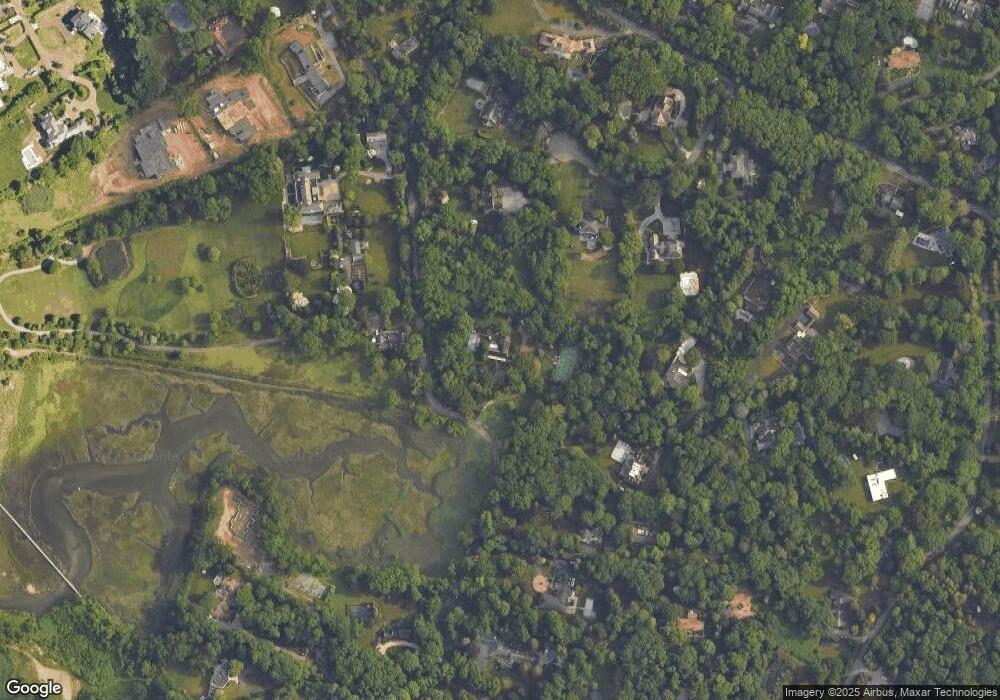
Map
Nearby Homes
- 25 Soundview Ln
- 169 Middle Neck Rd
- 5 Half Moon Ln
- 4 Sloanes Ct
- 12 Sloanes Ct
- 22 Messenger Ln
- 15 Hoffstot Ln
- 36 Cow Neck Rd
- 9 Hilldale Ln
- 130 Sands Point Rd
- 5 Longwood Rd
- 120 W Creek Farms Rd
- 21 Harriman Dr
- 1 Harriman Dr
- 69 Cornwells Beach Rd
- 78 Edgewood Rd
- 18 Harriman Dr
- 47 Marwood Rd N
- 28 Sterling Ln
- 68 Graywood Rd
- 210 Sands Point Rd
- 209 Sands Point Rd
- 6 Backus Farm Ln
- 8 Backus Farm Ln
- 2 S Farm Rd
- 1 S Farm Rd
- 4 Backus Farm Ln
- 196 Sands Point Rd
- 194 Sands Point Rd
- 192 Sands Point Rd
- 10 Backus Farm Ln
- 211 Sands Point Rd
- 211 Sands Point Rd
- 176 Middle Neck Rd
- 18 S Farm Rd
- 1 Backus Farm Ln
- 2 Backus Farm Ln
- 201 Sands Point Rd
- 190 Sands Point Rd
- 180 Middle Neck Rd