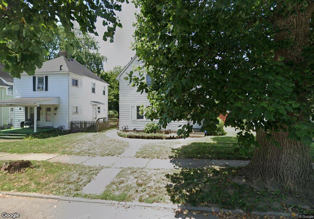
210 Shafor St Middletown, OH 45042
Sunset-Park Place NeighborhoodEstimated Value: $151,000 - $169,819
3
Beds
1
Bath
1,144
Sq Ft
$138/Sq Ft
Est. Value
About This Home
This home is located at 210 Shafor St, Middletown, OH 45042 and is currently estimated at $158,205, approximately $138 per square foot. 210 Shafor St is a home located in Butler County with nearby schools including Wildwood Elementary School, Highview 6th Grade Center, and Middletown Middle School.
Ownership History
Date
Name
Owned For
Owner Type
Purchase Details
Closed on
Mar 12, 2004
Sold by
Wohlman Troy S
Bought by
Frerick Deborah L and Wohlman Deborah L
Current Estimated Value
Home Financials for this Owner
Home Financials are based on the most recent Mortgage that was taken out on this home.
Original Mortgage
$96,700
Interest Rate
4.25%
Mortgage Type
Stand Alone Refi Refinance Of Original Loan
Purchase Details
Closed on
Jun 16, 2000
Sold by
Joseph Lagaly Ronald and Joseph Robin C
Bought by
Wohlman Troy S and Wohlman Deborah L
Home Financials for this Owner
Home Financials are based on the most recent Mortgage that was taken out on this home.
Original Mortgage
$94,952
Interest Rate
8.56%
Mortgage Type
FHA
Create a Home Valuation Report for This Property
The Home Valuation Report is an in-depth analysis detailing your home's value as well as a comparison with similar homes in the area
Home Values in the Area
Average Home Value in this Area
Purchase History
| Date | Buyer | Sale Price | Title Company |
|---|---|---|---|
| Frerick Deborah L | -- | Regional Title Agency Ltd | |
| Wohlman Troy S | $95,000 | Midland Title Security Inc |
Source: Public Records
Mortgage History
| Date | Status | Borrower | Loan Amount |
|---|---|---|---|
| Closed | Frerick Deborah L | $96,700 | |
| Closed | Wohlman Troy S | $94,952 |
Source: Public Records
Tax History Compared to Growth
Tax History
| Year | Tax Paid | Tax Assessment Tax Assessment Total Assessment is a certain percentage of the fair market value that is determined by local assessors to be the total taxable value of land and additions on the property. | Land | Improvement |
|---|---|---|---|---|
| 2024 | $1,971 | $38,160 | $6,340 | $31,820 |
| 2023 | $1,959 | $38,160 | $6,340 | $31,820 |
| 2022 | $1,437 | $24,720 | $6,340 | $18,380 |
| 2021 | $1,381 | $24,720 | $6,340 | $18,380 |
| 2020 | $1,439 | $24,720 | $6,340 | $18,380 |
| 2019 | $1,413 | $19,500 | $6,590 | $12,910 |
| 2018 | $1,230 | $19,500 | $6,590 | $12,910 |
| 2017 | $1,232 | $19,500 | $6,590 | $12,910 |
| 2016 | $1,287 | $17,100 | $6,590 | $10,510 |
| 2015 | $1,112 | $17,100 | $6,590 | $10,510 |
| 2014 | $1,727 | $17,100 | $6,590 | $10,510 |
| 2013 | $1,727 | $26,180 | $6,590 | $19,590 |
Source: Public Records
Map
Nearby Homes
- 102 Franklin St
- 2506 North Ave
- 19 Mckinley St
- 13 Monroe St
- 2113 Central Ave
- 113 N Sutphin St
- 2112 Central Ave
- 206 N Sutphin St
- 2602 Elmo Place
- 2617 Central Ave
- 2306 Linden Ave
- 2212 Linden Ave
- 2509 Elmo Place
- 2007 Central Ave
- 2619 Central Ave
- 613 Auburn St
- 2803 Milton Rd
- 416 Glen Ln
- 2006 Crescent Blvd
- 2008 Crescent Blvd