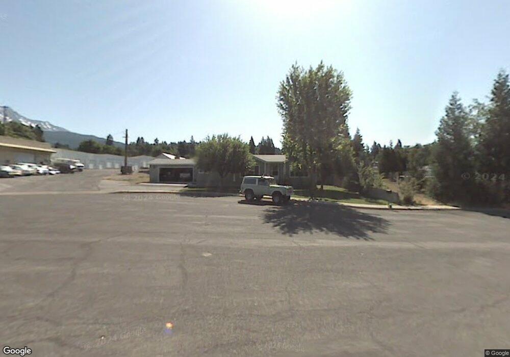
210 Siskiyou Ave Mount Shasta, CA 96067
Estimated Value: $336,000 - $371,546
--
Bed
--
Bath
--
Sq Ft
0.37
Acres
About This Home
This home is located at 210 Siskiyou Ave, Mount Shasta, CA 96067 and is currently estimated at $359,637. 210 Siskiyou Ave is a home located in Siskiyou County with nearby schools including Mt. Shasta Elementary School, Mt. Shasta High School, and Golden Eagle Charter School.
Ownership History
Date
Name
Owned For
Owner Type
Purchase Details
Closed on
Aug 12, 2014
Sold by
Pratt Phillip J and Pratt Melody J
Bought by
The Pratt Family Trust
Current Estimated Value
Purchase Details
Closed on
Jun 26, 2006
Sold by
Pratt Phillip Joseph
Bought by
Pratt Phillip J and Pratt Melody J
Home Financials for this Owner
Home Financials are based on the most recent Mortgage that was taken out on this home.
Original Mortgage
$181,000
Interest Rate
6.57%
Mortgage Type
New Conventional
Create a Home Valuation Report for This Property
The Home Valuation Report is an in-depth analysis detailing your home's value as well as a comparison with similar homes in the area
Home Values in the Area
Average Home Value in this Area
Purchase History
| Date | Buyer | Sale Price | Title Company |
|---|---|---|---|
| The Pratt Family Trust | -- | None Available | |
| Pratt Phillip J | -- | Mt Shasta Title & Escrow Co |
Source: Public Records
Mortgage History
| Date | Status | Borrower | Loan Amount |
|---|---|---|---|
| Closed | Pratt Phillip J | $181,000 |
Source: Public Records
Tax History Compared to Growth
Tax History
| Year | Tax Paid | Tax Assessment Tax Assessment Total Assessment is a certain percentage of the fair market value that is determined by local assessors to be the total taxable value of land and additions on the property. | Land | Improvement |
|---|---|---|---|---|
| 2025 | $2,287 | $219,198 | $8,481 | $210,717 |
| 2023 | $2,287 | $210,688 | $8,152 | $202,536 |
| 2022 | $2,199 | $206,558 | $7,993 | $198,565 |
| 2021 | $2,161 | $202,509 | $7,837 | $194,672 |
| 2020 | $2,161 | $200,433 | $7,757 | $192,676 |
| 2019 | $2,121 | $196,504 | $7,605 | $188,899 |
| 2018 | $2,079 | $192,652 | $7,456 | $185,196 |
| 2017 | $2,058 | $188,875 | $7,310 | $181,565 |
| 2016 | $2,018 | $185,172 | $7,167 | $178,005 |
| 2015 | $1,990 | $182,392 | $7,060 | $175,332 |
| 2014 | $1,954 | $178,820 | $6,922 | $171,898 |
Source: Public Records
Map
Nearby Homes
- 0 Berry St
- 00 S Mount Shasta Blvd
- Lot 1 S Old Stage Rd
- 0 S Mount Shasta Blvd
- 114 Smith St
- 614 Michele Dr
- 706 Glen Mar Dr
- 208 Mccloud Ave
- 1501 Village Way
- 506 Eiler Rd
- 509 Mccloud Ave
- 109 N Washington Dr
- Parcel 1,2,3 Pine Field St
- 0 Alma St Apn #057-203-040
- 1395 Northridge Dr
- lot 7 Ream Ave
- 619 Spring St
- Lot 9 W A Barr Rd
- 1227 Eddy Dr
- 527 Paul's Place
- Lot 6 Siskiyou Ave
- 4116 Siskiyou Ave
- 0 Siskiyou Ave
- 0 Lot 6 Siskiyou Ave Unit 20221298
- 911 Ream Ave
- 915 Ream Ave
- 917 Ream Ave
- 811 Ream Ave
- 905 Ream Ave
- 815 Ream Ave
- 715 Mill St
- 1019 Ream Ave
- 36 Siskiyou Ave
- 712 Berry St
- 1023, 1101 Ream Ave
- 803 S Mount Shasta Blvd
- 713 Mill St
- 1023 1023A Ream
- 704 Mill St
- 1002 Oak St