210 Southridge Trail Pocahontas, AR 72455
Estimated Value: $152,000 - $214,969
--
Bed
2
Baths
1,440
Sq Ft
$122/Sq Ft
Est. Value
About This Home
This home is located at 210 Southridge Trail, Pocahontas, AR 72455 and is currently estimated at $175,990, approximately $122 per square foot. 210 Southridge Trail is a home located in Randolph County with nearby schools including Pocahontas Elementary School, M.D. Williams Middle School, and Pocahontas Junior High School.
Ownership History
Date
Name
Owned For
Owner Type
Purchase Details
Closed on
Feb 6, 2017
Sold by
Leathers Thomas J
Bought by
Markum David A and Markum Cynthia A
Current Estimated Value
Home Financials for this Owner
Home Financials are based on the most recent Mortgage that was taken out on this home.
Original Mortgage
$30,000
Outstanding Balance
$15,214
Interest Rate
4.3%
Mortgage Type
Commercial
Estimated Equity
$160,776
Purchase Details
Closed on
Jul 26, 2004
Bought by
Griffin To Markum
Purchase Details
Closed on
Mar 4, 1998
Bought by
Griffin To Griffin
Create a Home Valuation Report for This Property
The Home Valuation Report is an in-depth analysis detailing your home's value as well as a comparison with similar homes in the area
Home Values in the Area
Average Home Value in this Area
Purchase History
| Date | Buyer | Sale Price | Title Company |
|---|---|---|---|
| Markum David A | $29,000 | None Available | |
| Griffin To Markum | $15,000 | -- | |
| Griffin To Griffin | -- | -- |
Source: Public Records
Mortgage History
| Date | Status | Borrower | Loan Amount |
|---|---|---|---|
| Open | Markum David A | $30,000 |
Source: Public Records
Tax History Compared to Growth
Tax History
| Year | Tax Paid | Tax Assessment Tax Assessment Total Assessment is a certain percentage of the fair market value that is determined by local assessors to be the total taxable value of land and additions on the property. | Land | Improvement |
|---|---|---|---|---|
| 2024 | $760 | $32,470 | $2,500 | $29,970 |
| 2023 | $790 | $32,470 | $2,500 | $29,970 |
| 2022 | $788 | $32,470 | $2,500 | $29,970 |
| 2021 | $775 | $32,470 | $2,500 | $29,970 |
| 2020 | $679 | $28,245 | $2,000 | $26,245 |
| 2019 | $633 | $28,245 | $2,000 | $26,245 |
| 2018 | $612 | $28,245 | $2,000 | $26,245 |
| 2017 | $485 | $23,605 | $1,990 | $21,615 |
| 2016 | $485 | $23,605 | $1,990 | $21,615 |
| 2015 | $485 | $23,605 | $1,990 | $21,615 |
| 2014 | $438 | $23,605 | $1,990 | $21,615 |
Source: Public Records
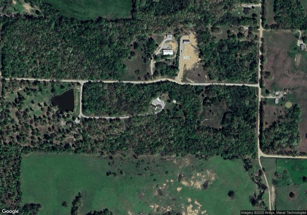
Map
Nearby Homes
- 1477 Highway 166 S
- TBD Highway 166 S
- 100 Kearby Ln
- TBD Westwood Rd
- 1344 Millcreek Rd
- 390 English Hulse Rd
- 1104 Newberry Rd
- 2288 U S 62
- 1535 Birdell St
- 1108 S Park St
- 2308 Archer St
- 1611 Shelton Cove
- 1105 Birdell St
- 602 S Park St
- 375 Hill Rd
- 2011 Convent St
- 0 S Pratt St
- 1406 Hospital Dr
- 2213 Johnson Cir
- 2100 Lee St
- 135 Twin Brook Trail
- 97 Southridge Trail
- 3459 Newberry Rd
- 3517 Newberry Rd
- 3067 Newberry Rd
- 3638 Newberry Rd
- 3186 Newberry Rd
- 1224 Highway 166 S
- 1296 Highway 166 S
- 1300 Highway 166 S
- 1223 Highway 166 S
- 810 Highway 166 S
- 810 Highway 166 S
- 1213 Highway 166 S
- 738 Highway 166 S
- 1295 Highway 166 S
- 561 Rose Rd
- 4064 Newberry Rd
- 4063 Newberry Rd
- 729 Highway 166 S