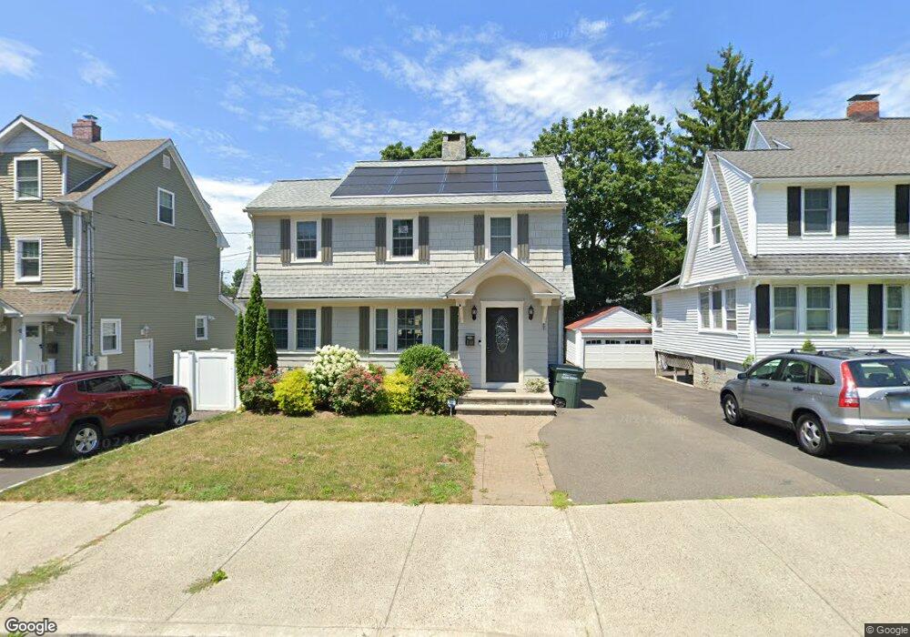
210 Thorme St Bridgeport, CT 06606
North End NeighborhoodEstimated Value: $344,000 - $434,019
3
Beds
3
Baths
1,768
Sq Ft
$227/Sq Ft
Est. Value
About This Home
This home is located at 210 Thorme St, Bridgeport, CT 06606 and is currently estimated at $401,255, approximately $226 per square foot. 210 Thorme St is a home located in Fairfield County with nearby schools including Blackham School, Central High School, and Northeastern Adventist Academy - Fairfield County.
Ownership History
Date
Name
Owned For
Owner Type
Purchase Details
Closed on
Aug 5, 2025
Sold by
Silva Ednardo
Bought by
Silva Ednardo and Freitas Patricia B
Current Estimated Value
Purchase Details
Closed on
Jul 5, 2006
Sold by
Ambrosey Shirley and Bortolot Richard
Bought by
Silva Ednardo
Home Financials for this Owner
Home Financials are based on the most recent Mortgage that was taken out on this home.
Original Mortgage
$191,250
Interest Rate
8.1%
Mortgage Type
Purchase Money Mortgage
Create a Home Valuation Report for This Property
The Home Valuation Report is an in-depth analysis detailing your home's value as well as a comparison with similar homes in the area
Home Values in the Area
Average Home Value in this Area
Purchase History
| Date | Buyer | Sale Price | Title Company |
|---|---|---|---|
| Silva Ednardo | -- | -- | |
| Silva Ednardo | $225,000 | -- | |
| Silva Ednardo | $225,000 | -- |
Source: Public Records
Mortgage History
| Date | Status | Borrower | Loan Amount |
|---|---|---|---|
| Previous Owner | Silva Ednardo | $164,000 | |
| Previous Owner | Silva Ednardo | $191,250 |
Source: Public Records
Tax History Compared to Growth
Tax History
| Year | Tax Paid | Tax Assessment Tax Assessment Total Assessment is a certain percentage of the fair market value that is determined by local assessors to be the total taxable value of land and additions on the property. | Land | Improvement |
|---|---|---|---|---|
| 2025 | $6,948 | $159,910 | $75,310 | $84,600 |
| 2024 | $6,948 | $159,910 | $75,310 | $84,600 |
| 2023 | $6,948 | $159,910 | $75,310 | $84,600 |
| 2022 | $6,948 | $159,910 | $75,310 | $84,600 |
| 2021 | $6,948 | $159,910 | $75,310 | $84,600 |
| 2020 | $7,164 | $132,690 | $39,340 | $93,350 |
| 2019 | $7,164 | $132,690 | $39,340 | $93,350 |
| 2018 | $7,214 | $132,690 | $39,340 | $93,350 |
| 2017 | $7,214 | $132,690 | $39,340 | $93,350 |
| 2016 | $7,214 | $132,690 | $39,340 | $93,350 |
| 2015 | $6,854 | $162,420 | $47,600 | $114,820 |
| 2014 | $6,854 | $162,420 | $47,600 | $114,820 |
Source: Public Records
Map
Nearby Homes
- 113 Clark St
- 3401 Main St
- 260 Birmingham St
- 214 Burnsford Ave
- 184 Merritt St
- 354 Beechmont Ave
- 234 Savoy St
- 45 Stevens St Unit 2
- 376 Savoy St
- 1095 Wayne St
- 1265 Lindley St
- 25 Broadway
- 339 Goldenrod Ave
- 604 Birmingham St
- 355 Exeter St
- 213 Exeter St
- 219 Exeter St
- 520 Savoy St
- 631 Fairview Ave
- 485 Westfield Ave