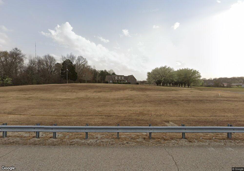
210 Us Highway 412 W Beech Bluff, TN 38313
Estimated Value: $289,000 - $387,000
--
Bed
3
Baths
2,356
Sq Ft
$141/Sq Ft
Est. Value
About This Home
This home is located at 210 Us Highway 412 W, Beech Bluff, TN 38313 and is currently estimated at $331,733, approximately $140 per square foot. 210 Us Highway 412 W is a home located in Henderson County.
Ownership History
Date
Name
Owned For
Owner Type
Purchase Details
Closed on
Jun 6, 2003
Sold by
Wilson Bobby C
Bought by
State Of Tennessee
Current Estimated Value
Purchase Details
Closed on
Feb 8, 2002
Sold by
Wilson Brandon L
Bought by
Bobby Wilson
Home Financials for this Owner
Home Financials are based on the most recent Mortgage that was taken out on this home.
Original Mortgage
$131,070
Interest Rate
7.16%
Purchase Details
Closed on
Jan 11, 2002
Bought by
Wilson Bobby Linda
Home Financials for this Owner
Home Financials are based on the most recent Mortgage that was taken out on this home.
Original Mortgage
$131,070
Interest Rate
7.16%
Purchase Details
Closed on
Dec 1, 1997
Sold by
Bobby Wilson
Bought by
Leon Wilson Brandon
Create a Home Valuation Report for This Property
The Home Valuation Report is an in-depth analysis detailing your home's value as well as a comparison with similar homes in the area
Home Values in the Area
Average Home Value in this Area
Purchase History
| Date | Buyer | Sale Price | Title Company |
|---|---|---|---|
| State Of Tennessee | $190 | -- | |
| Bobby Wilson | $113,772 | -- | |
| Wilson Bobby Linda | $113,800 | -- | |
| Leon Wilson Brandon | $10,000 | -- |
Source: Public Records
Mortgage History
| Date | Status | Borrower | Loan Amount |
|---|---|---|---|
| Previous Owner | Leon Wilson Brandon | $131,070 |
Source: Public Records
Tax History Compared to Growth
Tax History
| Year | Tax Paid | Tax Assessment Tax Assessment Total Assessment is a certain percentage of the fair market value that is determined by local assessors to be the total taxable value of land and additions on the property. | Land | Improvement |
|---|---|---|---|---|
| 2024 | $22 | $89,275 | $7,400 | $81,875 |
| 2023 | $1,411 | $89,275 | $7,400 | $81,875 |
| 2022 | $1,296 | $54,650 | $5,100 | $49,550 |
| 2021 | $1,296 | $54,650 | $5,100 | $49,550 |
| 2020 | $1,296 | $54,650 | $5,100 | $49,550 |
| 2019 | $1,274 | $53,750 | $4,200 | $49,550 |
| 2018 | $1,098 | $48,100 | $4,200 | $43,900 |
| 2017 | $1,098 | $48,100 | $4,200 | $43,900 |
| 2016 | $1,127 | $47,450 | $4,200 | $43,250 |
| 2015 | $1,127 | $47,450 | $4,200 | $43,250 |
| 2014 | $1,127 | $47,449 | $0 | $0 |
Source: Public Records
Map
Nearby Homes
- 1014 Crawford Springs Rd
- 0 End of 95 @ I-40
- 000 I-40 at Exit 93 E
- 0 Us-412 Hwy W
- 413 Law Ln
- 0 Liberty Claybrook Rd
- 00 Liberty Claybrook Rd
- 1840 Blue Goose Rd
- 0 Lakewood Dr E
- 688 Spring Creek Law Rd
- 00 Springbrook Dr
- 649 Spring Creek Law Rd
- 2710 Blue Goose Rd
- 2735 Blue Goose Rd
- 23 Springview Dr
- 0 Cotton Grove Rd
- 455 Liberty Rd
- 883 Crucifer Rd
- 290 Westover Rd
- 000 Mt Gilead
- 207 Us Highway 412 W
- 199 Us Highway 412 W
- 235 Us Highway 412 W
- 73 Primrose Cove
- 76 Primrose Cove
- 77 Prairie Ln
- 422 Gurley Rd
- 47 Primrose Cove
- 48 Primrose Cove
- 49 Prairie Ln
- 412 U S 412
- 72 Prairie Ln
- 403 U S 412
- 31 Primrose Cove
- 53 Paradise Dr
- 403 Highway 412 W
- 32 Primrose Cove
- 000 Independence Loop
- 35 Prairie Ln
- 220 Gurley Rd
