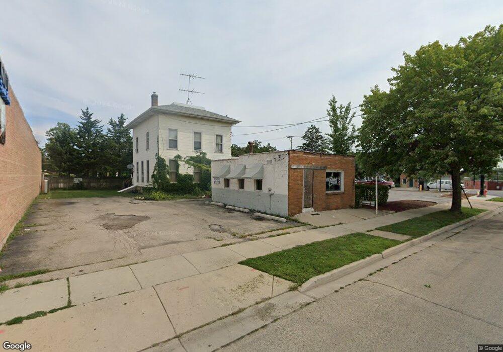
210 Walnut Ave Elgin, IL 60123
Near West Elgin Neighborhood
Studio
--
Bath
--
Sq Ft
6,621
Sq Ft Lot
About This Home
This home is located at 210 Walnut Ave, Elgin, IL 60123. 210 Walnut Ave is a home located in Kane County with nearby schools including Lowrie Elementary School, Abbott Middle School, and Larkin High School.
Ownership History
Date
Name
Owned For
Owner Type
Purchase Details
Closed on
Dec 1, 2015
Sold by
First American Bank
Bought by
Aga Properties Llc
Purchase Details
Closed on
Aug 12, 2008
Sold by
Cortez Elias and Cortez Rosalba
Bought by
First American Bank and Trust #1-08-119
Purchase Details
Closed on
Nov 19, 2007
Sold by
Read Bruce A
Bought by
Cortez Elias and Cortez Rosalba
Purchase Details
Closed on
Feb 19, 1999
Sold by
Read Martha E
Bought by
Read Martha E and Read Bruce A
Create a Home Valuation Report for This Property
The Home Valuation Report is an in-depth analysis detailing your home's value as well as a comparison with similar homes in the area
Home Values in the Area
Average Home Value in this Area
Purchase History
| Date | Buyer | Sale Price | Title Company |
|---|---|---|---|
| Aga Properties Llc | $137,000 | Fidelity National Title | |
| First American Bank | -- | None Available | |
| Cortez Elias | $265,000 | Chicago Title Insurance Co | |
| Read Martha E | -- | Chicago Title Insurance Co |
Source: Public Records
Tax History
| Year | Tax Paid | Tax Assessment Tax Assessment Total Assessment is a certain percentage of the fair market value that is determined by local assessors to be the total taxable value of land and additions on the property. | Land | Improvement |
|---|---|---|---|---|
| 2024 | $5,916 | $73,920 | $29,302 | $44,618 |
| 2023 | $5,693 | $66,781 | $26,472 | $40,309 |
| 2022 | $5,280 | $60,893 | $24,138 | $36,755 |
| 2021 | $5,079 | $56,930 | $22,567 | $34,363 |
| 2020 | $4,957 | $54,349 | $21,544 | $32,805 |
| 2019 | $4,835 | $51,771 | $20,522 | $31,249 |
| 2018 | $4,822 | $48,772 | $19,333 | $29,439 |
| 2017 | $5,099 | $49,578 | $19,653 | $29,925 |
| 2016 | $5,332 | $49,995 | $19,819 | $30,176 |
| 2015 | -- | $56,539 | $18,166 | $38,373 |
| 2014 | -- | $55,841 | $17,942 | $37,899 |
| 2013 | -- | $57,314 | $18,415 | $38,899 |
Source: Public Records
Map
Nearby Homes
- 3 National St Unit 3
- 7 National St Unit 7
- 162 Festival Ct
- 331 Orange St
- 96 S Crystal St
- 211 Prairie St
- 462 Ashland Ave
- 208 Moseley St
- 216 Prairie St
- 552 Walnut Ave
- 277 Gifford Place
- 262 Bartlett Place
- 286 Villa St
- 9 N Jackson St
- 332-334 St Charles St
- 532 South St
- 518 Raymond St
- 483 Barrett St
- 315 Vandalia St
- 761 South St
- 252 S State St
- 213 Walnut Ave
- 271 S State St Unit 2SW
- 271 S State St Unit 1SW
- 271 S State St
- 219 Walnut Ave
- 225 Walnut Ave Unit 27
- 267 S State St
- 221 Standish St
- 269 S State St
- 257 S State St
- 6 National St Unit 1
- 6 National St Unit 2
- 6 National St Unit 3
- 6 National St Unit 6
- 250 Walnut Ave
- 245 S State St
- 225 Standish St
- 1 National St
- 1 National St Unit 1
Your Personal Tour Guide
Ask me questions while you tour the home.