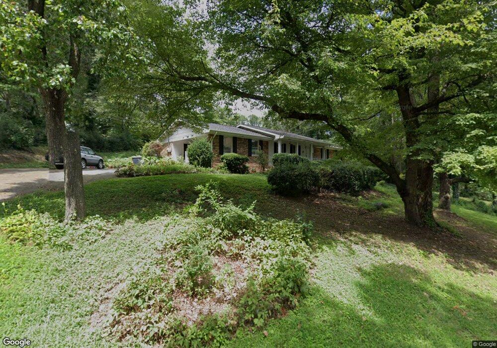
210 Westwood Cir Dalton, GA 30721
Estimated Value: $277,556 - $301,000
3
Beds
2
Baths
1,669
Sq Ft
$175/Sq Ft
Est. Value
About This Home
This home is located at 210 Westwood Cir, Dalton, GA 30721 and is currently estimated at $291,889, approximately $174 per square foot. 210 Westwood Cir is a home located in Whitfield County with nearby schools including Pleasant Grove Elementary School, New Hope Middle School, and Northwest Whitfield County High School.
Ownership History
Date
Name
Owned For
Owner Type
Purchase Details
Closed on
Jan 18, 2007
Sold by
Not Provided
Bought by
Le My Thy Buu and Tuan Xuong
Current Estimated Value
Home Financials for this Owner
Home Financials are based on the most recent Mortgage that was taken out on this home.
Original Mortgage
$108,000
Outstanding Balance
$64,036
Interest Rate
6.07%
Mortgage Type
New Conventional
Estimated Equity
$227,853
Purchase Details
Closed on
Jul 1, 1994
Bought by
Farley Dale Lavern
Create a Home Valuation Report for This Property
The Home Valuation Report is an in-depth analysis detailing your home's value as well as a comparison with similar homes in the area
Home Values in the Area
Average Home Value in this Area
Purchase History
| Date | Buyer | Sale Price | Title Company |
|---|---|---|---|
| Le My Thy Buu | -- | -- | |
| Le My Thy Buu | $135,000 | -- | |
| Le My Thy Buu | -- | -- | |
| Farley Dale Lavern | -- | -- |
Source: Public Records
Mortgage History
| Date | Status | Borrower | Loan Amount |
|---|---|---|---|
| Open | Le My Thy Buu | $108,000 | |
| Closed | Le My Thy Buu | $108,000 |
Source: Public Records
Tax History Compared to Growth
Tax History
| Year | Tax Paid | Tax Assessment Tax Assessment Total Assessment is a certain percentage of the fair market value that is determined by local assessors to be the total taxable value of land and additions on the property. | Land | Improvement |
|---|---|---|---|---|
| 2024 | $2,214 | $106,310 | $15,600 | $90,710 |
| 2023 | $2,214 | $73,852 | $10,600 | $63,252 |
| 2022 | $1,389 | $55,663 | $10,600 | $45,063 |
| 2021 | $1,390 | $55,663 | $10,600 | $45,063 |
| 2020 | $1,426 | $55,663 | $10,600 | $45,063 |
| 2019 | $1,443 | $55,663 | $10,600 | $45,063 |
| 2018 | $1,326 | $51,371 | $10,600 | $40,771 |
| 2017 | $1,327 | $51,371 | $10,600 | $40,771 |
| 2016 | $1,047 | $43,408 | $5,250 | $38,158 |
| 2014 | $969 | $43,408 | $5,250 | $38,158 |
| 2013 | -- | $43,407 | $5,250 | $38,157 |
Source: Public Records
Map
Nearby Homes
- 439 Westbrook Rd
- 1903 Middle Summit Dr
- 1899 N Summit Dr Unit 66
- 1903 Summit View Dr
- 1899 Middle Summit Dr Unit 98
- 1709 Willow Oak Ln Unit 53
- 407 Quillian Rd
- 1730 Brighton Way
- 1706 Chestnut Oak Dr Unit 90
- 110 Pinewood Way
- 1702 Chestnut Oak Dr
- 1702 Chestnut Oak Dr Unit 83
- 1713 Brighton Way
- 503 Moore Dr
- 522 Westbrook Rd
- 2100 Cleveland Hwy
- 2201 Cleveland Hwy
- 1699 Burnt Oak Dr Unit 195
- 1699 Burnt Oak Dr
- 1699 Pin Oak Dr Unit 133
- 212 Westwood Cir
- 316 Westwood Cir
- 109 Westwood Cir
- 327 Westwood Cir
- 214 Westwood Cir
- 209 Westwood Cir
- 314 Westwood Cir
- 213 Westwood Cir
- 325 Westwood Cir
- 211 Westwood Cir
- 105 Westwood Cir
- 323 Westwood Cir
- 0 Westwood Cir Unit 1387184
- 0 Westwood Cir
- 108 Westwood Cir
- 216 Westwood Cir
- 321 Westwood Cir
- 312 Westwood Cir
- 104 Watt Dr
- 106 Westwood Cir