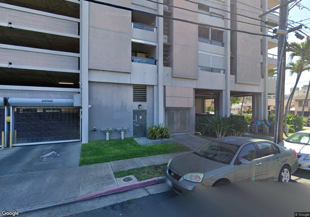
Twenty One Hundred 2100 Date St Unit 1503 Honolulu, HI 96826
McCully-Mō'ili'ili NeighborhoodEstimated Value: $337,000 - $498,000
1
Bed
1
Bath
531
Sq Ft
$727/Sq Ft
Est. Value
About This Home
This home is located at 2100 Date St Unit 1503, Honolulu, HI 96826 and is currently estimated at $386,295, approximately $727 per square foot. 2100 Date St Unit 1503 is a home located in Honolulu County with nearby schools including Ala Wai Elementary School, President George Washington Middle School, and Kaimuki High School.
Ownership History
Date
Name
Owned For
Owner Type
Purchase Details
Closed on
Nov 2, 2005
Sold by
Hisashi Manami and Noone Manami Hisashi
Bought by
Miyamoto Terrisachie
Current Estimated Value
Home Financials for this Owner
Home Financials are based on the most recent Mortgage that was taken out on this home.
Original Mortgage
$308,750
Outstanding Balance
$166,054
Interest Rate
5.74%
Mortgage Type
Fannie Mae Freddie Mac
Estimated Equity
$220,241
Purchase Details
Closed on
Jul 19, 2000
Sold by
Saito Haruhiko and Saito Keiko
Bought by
Noone Manami Hisashi
Home Financials for this Owner
Home Financials are based on the most recent Mortgage that was taken out on this home.
Original Mortgage
$65,000
Interest Rate
8.2%
Create a Home Valuation Report for This Property
The Home Valuation Report is an in-depth analysis detailing your home's value as well as a comparison with similar homes in the area
Home Values in the Area
Average Home Value in this Area
Purchase History
| Date | Buyer | Sale Price | Title Company |
|---|---|---|---|
| Miyamoto Terrisachie | $325,000 | Tg | |
| Noone Manami Hisashi | $160,000 | -- |
Source: Public Records
Mortgage History
| Date | Status | Borrower | Loan Amount |
|---|---|---|---|
| Open | Miyamoto Terrisachie | $308,750 | |
| Previous Owner | Noone Manami Hisashi | $65,000 |
Source: Public Records
Tax History Compared to Growth
Tax History
| Year | Tax Paid | Tax Assessment Tax Assessment Total Assessment is a certain percentage of the fair market value that is determined by local assessors to be the total taxable value of land and additions on the property. | Land | Improvement |
|---|---|---|---|---|
| 2025 | $908 | $357,500 | $53,900 | $303,600 |
| 2024 | $908 | $379,400 | $53,900 | $325,500 |
| 2023 | $764 | $418,400 | $52,200 | $366,200 |
| 2022 | $1,040 | $397,100 | $38,100 | $359,000 |
| 2021 | $1,018 | $390,800 | $38,100 | $352,700 |
| 2020 | $1,030 | $394,400 | $38,100 | $356,300 |
| 2019 | $1,099 | $394,100 | $34,900 | $359,200 |
| 2018 | $1,027 | $373,500 | $31,000 | $342,500 |
| 2017 | $944 | $349,700 | $29,400 | $320,300 |
| 2016 | $958 | $353,600 | $32,200 | $321,400 |
| 2015 | $871 | $328,900 | $31,100 | $297,800 |
| 2014 | $811 | $327,400 | $30,100 | $297,300 |
Source: Public Records
About Twenty One Hundred
Map
Nearby Homes
- 2100 Date St Unit 103
- 2117 Date St
- 2128 Date St
- 2120 Fern St Unit 303
- 2009 Waiola St
- 2122 Lime St Unit 304
- 2122 Lime St Unit 703
- 2122 Lime St Unit 307
- 855 Makahiki Way Unit 508
- 855 Makahiki Way Unit 309
- 2015 Lime St Unit 901
- 2032 Kapiolani Blvd
- 796 Isenberg St Unit 10
- 796 Isenberg St Unit 8H
- 2318 Lime St
- 1819 Waiola St Unit C
- 781 Isenberg St
- 2334 Kapiolani Blvd Unit 401
- 1746 Citron St
- 2333 Kapiolani Blvd Unit 2217
- 2100 Date St Unit 1903
- 2100 Date St Unit 1005
- 2100 Date St Unit 2307
- 2100 Date St Unit 2205
- 2100 Date St Unit 1104
- 2100 Date St Unit 501
- 2100 Date St Unit 304
- 2100 Date St Unit 1602
- 2100 Date St Unit 1505
- 2100 Date St Unit 1703
- 2100 Date St Unit 1106
- 2100 Date St Unit 105
- 2100 Date St Unit 2405
- 2100 Date St Unit 1506
- 2100 Date St Unit 1706
- 2100 Date St Unit 2401
- 2100 Date St Unit 1807
- 2100 Date St Unit 1702
- 2100 Date St Unit 401
- 2100 Date St Unit 203