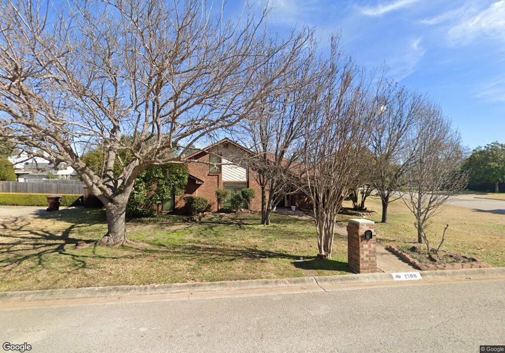
2100 Greenway St Denton, TX 76207
Rayzor Ranch NeighborhoodEstimated Value: $320,000 - $341,000
3
Beds
2
Baths
2,083
Sq Ft
$159/Sq Ft
Est. Value
About This Home
This home is located at 2100 Greenway St, Denton, TX 76207 and is currently estimated at $330,838, approximately $158 per square foot. 2100 Greenway St is a home located in Denton County with nearby schools including Evers Park Elementary School, Calhoun Middle School, and Denton High School.
Ownership History
Date
Name
Owned For
Owner Type
Purchase Details
Closed on
Sep 6, 2017
Sold by
Mayhew Winston Franklin and Mayhew Shelby Lea
Bought by
Mayhew Winston Franklin and Mayhew Shelby Lea
Current Estimated Value
Purchase Details
Closed on
Nov 26, 2003
Sold by
Lang Sheri K
Bought by
Mayhew W F W and Mayhew Shelby
Home Financials for this Owner
Home Financials are based on the most recent Mortgage that was taken out on this home.
Original Mortgage
$127,775
Outstanding Balance
$59,457
Interest Rate
5.94%
Mortgage Type
Purchase Money Mortgage
Estimated Equity
$271,381
Purchase Details
Closed on
Oct 27, 1994
Sold by
Green Larry and Green Shirley
Bought by
Lang Sheri K
Home Financials for this Owner
Home Financials are based on the most recent Mortgage that was taken out on this home.
Original Mortgage
$41,000
Interest Rate
8.73%
Create a Home Valuation Report for This Property
The Home Valuation Report is an in-depth analysis detailing your home's value as well as a comparison with similar homes in the area
Home Values in the Area
Average Home Value in this Area
Purchase History
| Date | Buyer | Sale Price | Title Company |
|---|---|---|---|
| Mayhew Winston Franklin | -- | None Available | |
| Mayhew W F W | -- | -- | |
| Lang Sheri K | -- | -- |
Source: Public Records
Mortgage History
| Date | Status | Borrower | Loan Amount |
|---|---|---|---|
| Open | Mayhew W F W | $127,775 | |
| Previous Owner | Lang Sheri K | $41,000 |
Source: Public Records
Tax History
| Year | Tax Paid | Tax Assessment Tax Assessment Total Assessment is a certain percentage of the fair market value that is determined by local assessors to be the total taxable value of land and additions on the property. | Land | Improvement |
|---|---|---|---|---|
| 2025 | $1,133 | $279,408 | $125,604 | $184,396 |
| 2024 | $4,903 | $254,007 | $0 | $0 |
| 2023 | $1,136 | $230,915 | $125,604 | $237,203 |
| 2022 | $4,456 | $209,923 | $85,639 | $208,181 |
| 2021 | $4,242 | $190,839 | $53,221 | $137,618 |
| 2020 | $4,243 | $185,613 | $53,221 | $132,392 |
| 2019 | $4,133 | $173,203 | $53,221 | $119,982 |
| 2018 | $4,102 | $169,810 | $53,221 | $116,589 |
| 2017 | $4,029 | $163,000 | $53,221 | $109,779 |
| 2016 | $4,037 | $163,339 | $41,817 | $121,522 |
| 2015 | $2,838 | $162,826 | $41,817 | $121,009 |
| 2013 | -- | $148,527 | $45,618 | $102,909 |
Source: Public Records
Map
Nearby Homes
- 2905 Lakewood Dr
- 2909 Savill Garden
- 2712 Claydon Dr
- 2717 Wendell Dr
- 2225 Southway
- 2620 John Dr
- 2324 Southway
- 9905 Morning Cloak Dr
- 9909 Morning Cloak Dr
- 9817 Morning Cloak Dr
- TBD N Bonnie Brae St
- 1027 Stanley St
- 2214 Parkside Dr
- 910 Stanley St Unit 3
- 910 Stanley St Unit 1
- 910 Stanley St Unit 2
- 3400 Kingsview Dr
- 2317 N Lake Trail
- 3308 Kingsdown Dr
- 3616 Kingsgarden Rd
- 2911 Lakewood Dr
- 2900 Thunderbird Dr
- 2911 Thunderbird Dr
- 2907 Thunderbird Dr
- 2101 Greenway St
- 2921 Thunderbird Dr
- 2915 Thunderbird Dr
- 2901 Thunderbird Dr
- 2107 Greenway St
- 2901 Lakewood Dr
- 2912 Lakewood Dr
- 2101 Carriage Hill
- 2105 Carriage Hill
- 2817 Thunderbird Dr
- 2111 Greenway St
- 2109 Carriage Hill
- 2100 Glen Garden St
- 2904 Lakewood Dr
- 2113 Carriage Hill
- 3000 Augusta Dr Unit 30
Your Personal Tour Guide
Ask me questions while you tour the home.