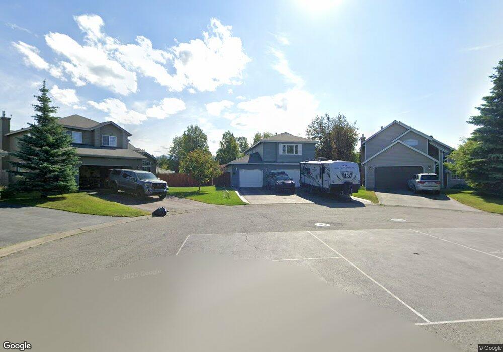
2100 Hanning Bay Cir Anchorage, AK 99515
Bayshore-Klatt NeighborhoodEstimated Value: $372,000 - $619,100
3
Beds
3
Baths
2,132
Sq Ft
$247/Sq Ft
Est. Value
About This Home
This home is located at 2100 Hanning Bay Cir, Anchorage, AK 99515 and is currently estimated at $526,025, approximately $246 per square foot. 2100 Hanning Bay Cir is a home located in Anchorage Municipality with nearby schools including Klatt Elementary School, Goldenview Middle School, and South Anchorage High School.
Ownership History
Date
Name
Owned For
Owner Type
Purchase Details
Closed on
Jun 29, 2001
Sold by
Mahn Thomas J and Mahn Hui Y
Bought by
Spear Kay L and Budd Eric D
Current Estimated Value
Home Financials for this Owner
Home Financials are based on the most recent Mortgage that was taken out on this home.
Original Mortgage
$229,425
Outstanding Balance
$88,414
Interest Rate
7.14%
Estimated Equity
$437,611
Purchase Details
Closed on
Aug 26, 1999
Sold by
Gordon Peter L and Gordon Mitsuko N
Bought by
Mahn Thomas J and Mahn Hui Y
Home Financials for this Owner
Home Financials are based on the most recent Mortgage that was taken out on this home.
Original Mortgage
$176,540
Interest Rate
7.56%
Mortgage Type
New Conventional
Purchase Details
Closed on
Feb 19, 1998
Sold by
Bruin Builders Inc
Bought by
Gordon Peter L and Gordon Mitsuko N
Create a Home Valuation Report for This Property
The Home Valuation Report is an in-depth analysis detailing your home's value as well as a comparison with similar homes in the area
Home Values in the Area
Average Home Value in this Area
Purchase History
| Date | Buyer | Sale Price | Title Company |
|---|---|---|---|
| Spear Kay L | -- | -- | |
| Spear Kay L | -- | -- | |
| Mahn Thomas J | -- | -- | |
| Mahn Thomas J | -- | -- | |
| Gordon Peter L | -- | -- |
Source: Public Records
Mortgage History
| Date | Status | Borrower | Loan Amount |
|---|---|---|---|
| Open | Spear Kay L | $229,425 | |
| Closed | Spear Kay L | $229,425 | |
| Previous Owner | Mahn Thomas J | $176,540 | |
| Closed | Gordon Peter L | $0 |
Source: Public Records
Tax History Compared to Growth
Tax History
| Year | Tax Paid | Tax Assessment Tax Assessment Total Assessment is a certain percentage of the fair market value that is determined by local assessors to be the total taxable value of land and additions on the property. | Land | Improvement |
|---|---|---|---|---|
| 2025 | $5,329 | $599,000 | $150,500 | $448,500 |
| 2024 | $5,329 | $555,100 | $133,200 | $421,900 |
| 2023 | $8,340 | $489,700 | $126,800 | $362,900 |
| 2022 | $4,730 | $480,900 | $126,800 | $354,100 |
| 2021 | $8,192 | $454,600 | $126,800 | $327,800 |
| 2020 | $6,657 | $441,900 | $126,800 | $315,100 |
| 2019 | $6,582 | $452,300 | $126,800 | $325,500 |
| 2018 | $6,401 | $440,300 | $126,800 | $313,500 |
| 2017 | $6,549 | $438,200 | $126,800 | $311,400 |
| 2016 | $5,795 | $440,700 | $126,800 | $313,900 |
| 2015 | $5,795 | $429,000 | $126,800 | $302,200 |
| 2014 | $5,795 | $409,300 | $126,800 | $282,500 |
Source: Public Records
Map
Nearby Homes
- 1825 Bellevue Loop
- 2534 Ridge Pointe Dr
- 2541 Brookstone Loop
- L8 B8 Spartan Dr
- 11351 Discovery View Dr Unit 107A
- 11038 Northfleet Dr
- 2909 Seclusion Cove Dr Unit 63
- 840 Allison Cir
- 2356 Leander Cir
- 2935 Seclusion Cove Dr Unit 54
- 2101 Revere Cir
- 900 Botanical Heights Cir
- 12130 Timberlane Dr
- 11050 Retreat Cir
- 2350 Ariel Cir
- L5 B8 Spartan Dr
- L6 B8 Spartan Dr
- 2301 Harbor Landing Cir
- 3008 Eaglek Bay Cir
- 321 Ellen Cir
- 2110 Hanning Bay Cir
- 2109 Hanning Bay Cir
- 11920 Suncrest Dr
- 2117 Hanning Bay Cir
- 2118 Hanning Bay Cir
- 11910 Suncrest Dr
- 11930 Suncrest Dr
- 2125 Hanning Bay Cir
- 12001 Forelands Cir
- 2126 Hanning Bay Cir
- 11900 Suncrest Dr
- 2120 Montague Bay Cir
- 2110 Montague Bay Cir
- 2133 Hanning Bay Cir
- 12011 Forelands Cir
- 2134 Hanning Bay Cir
- 12010 Edgewater Cir
- 12000 Forelands Cir
- 11946 Suncrest Dr
- 2130 Montague Bay Cir