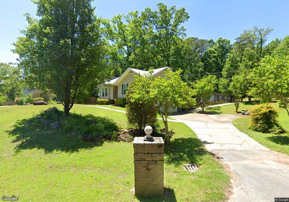
2100 Pauls Ln Bessemer, AL 35023
Estimated Value: $210,605 - $247,000
3
Beds
2
Baths
1,372
Sq Ft
$171/Sq Ft
Est. Value
About This Home
This home is located at 2100 Pauls Ln, Bessemer, AL 35023 and is currently estimated at $234,651, approximately $171 per square foot. 2100 Pauls Ln is a home located in Jefferson County with nearby schools including Hueytown Elementary School, Hueytown Primary School, and Hueytown Middle School.
Ownership History
Date
Name
Owned For
Owner Type
Purchase Details
Closed on
Jul 15, 2019
Sold by
Fox Pam
Bought by
Lyon Jeremy D and Lyon Ashley B
Current Estimated Value
Home Financials for this Owner
Home Financials are based on the most recent Mortgage that was taken out on this home.
Original Mortgage
$154,156
Outstanding Balance
$136,541
Interest Rate
4.37%
Mortgage Type
FHA
Estimated Equity
$98,110
Purchase Details
Closed on
Sep 26, 2018
Sold by
Fox Pamela Elliott
Bought by
Fox Pamela and Spears Misty
Home Financials for this Owner
Home Financials are based on the most recent Mortgage that was taken out on this home.
Original Mortgage
$139,500
Interest Rate
4.5%
Mortgage Type
New Conventional
Create a Home Valuation Report for This Property
The Home Valuation Report is an in-depth analysis detailing your home's value as well as a comparison with similar homes in the area
Home Values in the Area
Average Home Value in this Area
Purchase History
| Date | Buyer | Sale Price | Title Company |
|---|---|---|---|
| Lyon Jeremy D | $157,000 | -- | |
| Fox Pamela | -- | -- |
Source: Public Records
Mortgage History
| Date | Status | Borrower | Loan Amount |
|---|---|---|---|
| Open | Lyon Jeremy D | $154,156 | |
| Previous Owner | Fox Pamela | $139,500 |
Source: Public Records
Tax History Compared to Growth
Tax History
| Year | Tax Paid | Tax Assessment Tax Assessment Total Assessment is a certain percentage of the fair market value that is determined by local assessors to be the total taxable value of land and additions on the property. | Land | Improvement |
|---|---|---|---|---|
| 2024 | $1,083 | $21,040 | -- | -- |
| 2022 | $1,029 | $18,000 | $3,500 | $14,500 |
| 2021 | $875 | $15,430 | $3,500 | $11,930 |
| 2020 | $805 | $14,190 | $3,500 | $10,690 |
| 2019 | $800 | $14,200 | $0 | $0 |
| 2018 | $803 | $14,240 | $0 | $0 |
| 2017 | $787 | $13,980 | $0 | $0 |
| 2016 | $745 | $13,280 | $0 | $0 |
| 2015 | $787 | $13,980 | $0 | $0 |
| 2014 | $765 | $13,300 | $0 | $0 |
| 2013 | $765 | $13,100 | $0 | $0 |
Source: Public Records
Map
Nearby Homes
- 105 Hielary Cir
- 3229 Edenburg Dr
- 3232 Virginia Dr
- 135 Cape Rd
- 3016 Virginia Dr
- 140 Dee Hendrix Rd
- 2101 Windcroft Rd
- 6291 Donaldson Dr Unit 124
- 3018 Lone Oak Rd
- 2089 Edenwood Cir
- 3469 Virginia Dr
- 3481 Virginia Dr
- 2967 Lone Oak Rd
- 3542 Virginia Dr
- 6488 Aspen Ln
- 625 Dee Hendrix Rd Unit 625
- 4824 15th Street Rd
- 3037 Lee Ann Dr Unit 27
- 6700 White Oak Ln Unit 1
- 6101 Johns Rd
- 2100 Paul Ln
- 2104 Pauls Ln
- 2104 Pauls Ln
- 3195 Churchview Way
- 3201 Virginia Dr
- 3199 Churchview Way
- 3205 Virginia Dr
- 3206 Churchview Way
- 2031 Powers Dr
- 3209 Virginia Dr
- 3200 Virginia Dr
- 3204 Virginia Dr
- 104 Hielary Cir
- 3210 Churchview Way
- 100 Hielary Cir
- 3211 Churchview Way
- 3213 Virginia Dr
- 3208 Virginia Dr
- 144 Space Rd
- 154 Space Rd