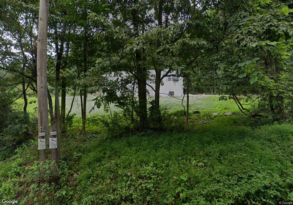
2100 Port Royal Rd Clarks Summit, PA 18411
Estimated Value: $238,414 - $690,000
--
Bed
--
Bath
--
Sq Ft
1.03
Acres
About This Home
This home is located at 2100 Port Royal Rd, Clarks Summit, PA 18411 and is currently estimated at $388,354. 2100 Port Royal Rd is a home located in Lackawanna County with nearby schools including Abington Heights High School.
Ownership History
Date
Name
Owned For
Owner Type
Purchase Details
Closed on
Jun 14, 2012
Sold by
Kozlowski Michael R and Kozlowski Erin L
Bought by
Kozlowski Michael R and Kozlowski Erin L
Current Estimated Value
Home Financials for this Owner
Home Financials are based on the most recent Mortgage that was taken out on this home.
Original Mortgage
$168,000
Interest Rate
3.84%
Mortgage Type
New Conventional
Purchase Details
Closed on
Mar 18, 2009
Sold by
Kozlowski Michael R
Bought by
Kozlowski Michael R and Lacoe Erin Ann
Home Financials for this Owner
Home Financials are based on the most recent Mortgage that was taken out on this home.
Original Mortgage
$145,000
Interest Rate
5.25%
Mortgage Type
Construction
Create a Home Valuation Report for This Property
The Home Valuation Report is an in-depth analysis detailing your home's value as well as a comparison with similar homes in the area
Home Values in the Area
Average Home Value in this Area
Purchase History
| Date | Buyer | Sale Price | Title Company |
|---|---|---|---|
| Kozlowski Michael R | -- | None Available | |
| Kozlowski Michael R | $5,000 | None Available |
Source: Public Records
Mortgage History
| Date | Status | Borrower | Loan Amount |
|---|---|---|---|
| Closed | Kozlowski Michael R | $168,000 | |
| Closed | Kozlowski Michael R | $145,000 |
Source: Public Records
Tax History Compared to Growth
Tax History
| Year | Tax Paid | Tax Assessment Tax Assessment Total Assessment is a certain percentage of the fair market value that is determined by local assessors to be the total taxable value of land and additions on the property. | Land | Improvement |
|---|---|---|---|---|
| 2025 | $5,404 | $22,200 | $3,000 | $19,200 |
| 2024 | $4,462 | $22,200 | $3,000 | $19,200 |
| 2023 | $4,462 | $22,200 | $3,000 | $19,200 |
| 2022 | $4,370 | $22,200 | $3,000 | $19,200 |
| 2021 | $4,370 | $22,200 | $3,000 | $19,200 |
| 2020 | $4,370 | $22,200 | $3,000 | $19,200 |
| 2019 | $4,225 | $22,200 | $3,000 | $19,200 |
| 2018 | $4,186 | $22,200 | $3,000 | $19,200 |
| 2017 | $4,164 | $22,200 | $3,000 | $19,200 |
| 2016 | $2,668 | $22,200 | $3,000 | $19,200 |
| 2015 | -- | $22,200 | $3,000 | $19,200 |
| 2014 | -- | $22,200 | $3,000 | $19,200 |
Source: Public Records
Map
Nearby Homes
- 1736 Falls Rd
- 0 Milwaukee Rd Unit GSBSC254290
- 2225 Cherry Hill Rd
- 2500 Falls Rd
- 1932 Newton Ransom Blvd
- 162 Highland Rd
- 0 Blvd
- 2441 Milwaukee Rd
- L358 River Rd
- 1502 Forest Acres Dr
- 1536 Sr 307
- 2046 Pennsylvania 92
- 10 Bald Mt Rd
- 0 Lower Mill City Rd Unit GSBSC254966
- 1215 Country Club Rd
- 52 Ivywood Dr Unit L 6
- 9119 Valley View Dr
- 258 Purdy Rd
- 9109 Valley View Dr
- Rt 307 Trout Ln
- 2102 Port Royal Rd
- T381 Orchard Dr
- 2119 Port Royal Rd
- 2104 Port Royal Rd
- 15016 Orchard Dr
- 15015 Orchard Dr
- 2030 Port Royal Rd
- 2022 Port Royal Rd
- 2110 Port Royal Rd
- 2016 Port Royal Rd
- 14096 Maple Dr
- 374 T
- 14095 Maple Dr
- 2129 Port Royal Rd
- 15030 Orchard Dr
- 2 Orchard Dr
- Lot #3 Orchard Dr
- 1 Orchard Dr
- 14085 Maple Dr
- 14078 Orchard Dr Unit T381