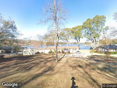
2100 Rabbit Branch Rd Cropwell, AL 35054
Cropwell NeighborhoodEstimated Value: $357,000 - $421,000
--
Bed
1
Bath
1,886
Sq Ft
$207/Sq Ft
Est. Value
About This Home
This home is located at 2100 Rabbit Branch Rd, Cropwell, AL 35054 and is currently estimated at $389,857, approximately $206 per square foot. 2100 Rabbit Branch Rd is a home located in St. Clair County.
Ownership History
Date
Name
Owned For
Owner Type
Purchase Details
Closed on
May 9, 2005
Sold by
Jacks Randall Dean
Bought by
Coe Tammie L and Coe Dennis W
Current Estimated Value
Home Financials for this Owner
Home Financials are based on the most recent Mortgage that was taken out on this home.
Original Mortgage
$135,200
Interest Rate
6.59%
Mortgage Type
Adjustable Rate Mortgage/ARM
Create a Home Valuation Report for This Property
The Home Valuation Report is an in-depth analysis detailing your home's value as well as a comparison with similar homes in the area
Home Values in the Area
Average Home Value in this Area
Purchase History
| Date | Buyer | Sale Price | Title Company |
|---|---|---|---|
| Coe Tammie L | $169,000 | None Available |
Source: Public Records
Mortgage History
| Date | Status | Borrower | Loan Amount |
|---|---|---|---|
| Open | Coe Tammie L | $60,000 | |
| Closed | Coe Tammie L | $199,700 | |
| Closed | Coe Dennis Wayne | $200,000 | |
| Closed | Coe Tammie L | $135,200 | |
| Closed | Coe Tammie L | $33,800 |
Source: Public Records
Tax History Compared to Growth
Tax History
| Year | Tax Paid | Tax Assessment Tax Assessment Total Assessment is a certain percentage of the fair market value that is determined by local assessors to be the total taxable value of land and additions on the property. | Land | Improvement |
|---|---|---|---|---|
| 2024 | $938 | $52,048 | $18,620 | $33,428 |
| 2023 | $938 | $47,932 | $19,760 | $28,172 |
| 2022 | $863 | $23,966 | $9,880 | $14,086 |
| 2021 | $686 | $23,966 | $9,880 | $14,086 |
| 2020 | $686 | $22,122 | $9,880 | $12,242 |
| 2019 | $629 | $20,261 | $9,880 | $10,381 |
| 2018 | $557 | $17,960 | $0 | $0 |
| 2017 | $572 | $17,960 | $0 | $0 |
| 2016 | $557 | $17,960 | $0 | $0 |
| 2015 | $572 | $17,960 | $0 | $0 |
| 2014 | $572 | $18,460 | $0 | $0 |
Source: Public Records
Map
Nearby Homes
- 25 Ray Sparks Dr Unit Lot 25
- 24 Ray Sparks Dr Unit Lot 24
- 23 Ray Sparks Dr Unit Lot 23
- 28 Ray Sparks Dr
- Lot 6 Cason Ln Unit 8
- 425 Rabbit Point Rd
- 350 Black Acres Rd Unit 11
- 50 Arrowhead Rd
- 1281 Rabbit Branch Rd
- 38 Coosa Island Cir
- 00 Coosa Island Rd Unit 23 and 24
- 504 Coosa Island Rd
- 260 Riverview Dr
- 105 Rivercrest Ln Unit 23
- 0 Lake Ridge Point Unit 17
- 539 Shady Brook Ln
- 0 Rivercrest Point Unit 5
- 2300 Logan Martin Dam Rd
- 881 Ridgeway Cir
- 0 River Bend Cir Unit 24 21413196
- 2100 Rabbit Branch Rd
- 2070 Rabbit Branch Rd
- 2140 Rabbit Branch Rd
- 2050 Rabbit Branch Rd
- 2150 Rabbit Branch Rd
- 2300 Rabbit Branch Rd
- 2065 Rabbit Branch Rd
- 2160 Rabbit Branch Rd
- 47 Charles Lee Way
- 2000 Rabbit Branch Rd
- 2045 Rabbit Branch Rd
- 2180 Rabbit Branch Rd
- 1980 Rabbit Branch Rd
- 83 Charles Lee Way
- 2015 Rabbit Branch Rd
- 152 Charles Lee Way
- 1970 Rabbit Branch Rd
- 1995 Rabbit Branch Rd
- 25 Bates Dr
- 62 Ray Sparks Dr