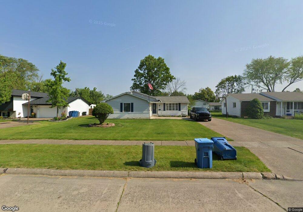
2100 W 36th St Lorain, OH 44053
Estimated Value: $213,000 - $225,000
3
Beds
2
Baths
1,744
Sq Ft
$126/Sq Ft
Est. Value
About This Home
This home is located at 2100 W 36th St, Lorain, OH 44053 and is currently estimated at $219,272, approximately $125 per square foot. 2100 W 36th St is a home located in Lorain County with nearby schools including Toni Wofford Morrison Elementary School, Gen. Johnnie Wilson Middle School, and Lorain High School.
Ownership History
Date
Name
Owned For
Owner Type
Purchase Details
Closed on
Jan 5, 2023
Sold by
Andrews Jon
Bought by
Kocak John and Kocak Rebecca
Current Estimated Value
Home Financials for this Owner
Home Financials are based on the most recent Mortgage that was taken out on this home.
Original Mortgage
$176,120
Outstanding Balance
$170,563
Interest Rate
6.49%
Mortgage Type
VA
Estimated Equity
$48,709
Purchase Details
Closed on
Aug 13, 2002
Sold by
Andrews Kathleen A
Bought by
Andrews Jon and Andrews Kathleen
Create a Home Valuation Report for This Property
The Home Valuation Report is an in-depth analysis detailing your home's value as well as a comparison with similar homes in the area
Home Values in the Area
Average Home Value in this Area
Purchase History
| Date | Buyer | Sale Price | Title Company |
|---|---|---|---|
| Kocak John | $170,000 | Newman Title | |
| Andrews Jon | -- | -- |
Source: Public Records
Mortgage History
| Date | Status | Borrower | Loan Amount |
|---|---|---|---|
| Open | Kocak John | $176,120 |
Source: Public Records
Tax History Compared to Growth
Tax History
| Year | Tax Paid | Tax Assessment Tax Assessment Total Assessment is a certain percentage of the fair market value that is determined by local assessors to be the total taxable value of land and additions on the property. | Land | Improvement |
|---|---|---|---|---|
| 2024 | $2,490 | $60,389 | $10,220 | $50,169 |
| 2023 | $1,529 | $38,857 | $10,122 | $28,735 |
| 2022 | $1,537 | $38,857 | $10,122 | $28,735 |
| 2021 | $1,537 | $38,857 | $10,122 | $28,735 |
| 2020 | $1,331 | $31,390 | $8,180 | $23,210 |
| 2019 | $1,323 | $31,390 | $8,180 | $23,210 |
| 2018 | $1,267 | $31,390 | $8,180 | $23,210 |
| 2017 | $1,211 | $28,280 | $8,090 | $20,190 |
| 2016 | $1,201 | $28,280 | $8,090 | $20,190 |
| 2015 | $1,133 | $28,280 | $8,090 | $20,190 |
| 2014 | $1,252 | $30,380 | $8,690 | $21,690 |
| 2013 | $1,242 | $30,380 | $8,690 | $21,690 |
Source: Public Records
Map
Nearby Homes
- 2109 W 37th St
- 1816 W 36th St
- 1931 Mark Dr
- 1911 W 30th St
- 3834 Cambridge Ave
- 2315 Mark Dr
- 4248 Leavitt Rd
- 1803 W 42nd St
- 1463 Meister Rd
- 1803 Tower Blvd
- 1404 Birch Ct
- 2736 W Skyline Dr
- 4409 Forest Hill Dr
- 1501 Tower Blvd
- 2745 W Skyline Dr
- 1618 W 28th St
- 3211 Kneirim Dr
- 0 Leavitt Rd Unit 5169364
- 3926 Woodworth Dr
- 3768 Martins Run Dr
- 2022 W 36th St
- 2110 W 36th St
- 2010 W 36th St
- 2122 W 36th St
- 2101 E Skyline Dr
- 2021 E Skyline Dr
- 2101 W 36th St
- 2009 E Skyline Dr
- 2121 E Skyline Dr
- 2000 W 36th St
- 2021 W 36th St
- 2109 W 36th St
- 2200 W 36th St
- 2009 W 36th St
- 2121 W 36th St
- 2001 E Skyline Dr
- 2203 E Skyline Dr
- 1922 W 36th St
- 2210 W 36th St
- 2001 W 36th St