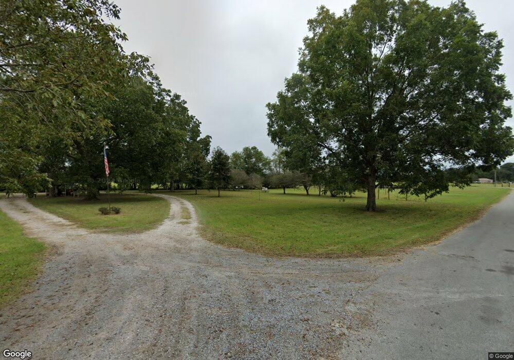
21004 Snow Rd Moss Point, MS 39562
Estimated Value: $238,560 - $305,000
Studio
2
Baths
1,980
Sq Ft
$139/Sq Ft
Est. Value
About This Home
This home is located at 21004 Snow Rd, Moss Point, MS 39562 and is currently estimated at $275,640, approximately $139 per square foot. 21004 Snow Rd is a home located in Jackson County with nearby schools including East Central Lower Elementary School, East Central Upper Elementary School, and East Central Middle School.
Ownership History
Date
Name
Owned For
Owner Type
Purchase Details
Closed on
Oct 15, 2019
Sold by
Smith Raymond S
Bought by
Smith Melita B
Current Estimated Value
Create a Home Valuation Report for This Property
The Home Valuation Report is an in-depth analysis detailing your home's value as well as a comparison with similar homes in the area
Purchase History
| Date | Buyer | Sale Price | Title Company |
|---|---|---|---|
| Smith Melita B | -- | -- |
Source: Public Records
Tax History
| Year | Tax Paid | Tax Assessment Tax Assessment Total Assessment is a certain percentage of the fair market value that is determined by local assessors to be the total taxable value of land and additions on the property. | Land | Improvement |
|---|---|---|---|---|
| 2025 | $1,599 | $15,981 | $913 | $15,068 |
| 2024 | $1,599 | $14,188 | $888 | $13,300 |
| 2023 | $1,403 | $14,188 | $888 | $13,300 |
| 2022 | $1,355 | $14,188 | $888 | $13,300 |
| 2021 | $1,363 | $14,262 | $888 | $13,374 |
| 2020 | $1,362 | $13,761 | $822 | $12,939 |
| 2019 | $1,344 | $13,761 | $822 | $12,939 |
| 2018 | $1,376 | $13,761 | $822 | $12,939 |
| 2017 | $1,455 | $14,169 | $822 | $13,347 |
| 2016 | $1,386 | $14,169 | $822 | $13,347 |
| 2015 | $1,268 | $131,060 | $8,220 | $122,840 |
| 2014 | $1,288 | $13,515 | $822 | $12,693 |
| 2013 | $1,235 | $13,515 | $822 | $12,693 |
Source: Public Records
Map
Nearby Homes
- 8012 Coleman Homestead Rd
- 0 Mississippi 614
- 0000 Mississippi 614
- 21704 Magnolia Springs Rd
- 8201 Pecan Ridge Dr
- 21217 E Trails End Rd
- 7805 Songbird Ln
- 6200 Hurley Wade Rd
- 0 Dap Rd E
- 0 Red Bluff Rd
- 01 Dap Rd E
- 7201 Bentwood Dr
- Tbd Hurley Wade Rd
- 5402 Huckleberry Ln
- 26.1 Acres Brinkman Rd E
- 17500 Goff Farm Rd
- 17920 Rayford Shumock Rd
- 17952 Rayford Shumock Rd
- -0- Rayford Shumock Rd
- 0 R B Dickerson Rd
- 21020 Snow Rd
- 21001 Snow Rd
- 21024 Snow Rd
- 20705 Baria Rd Unit DRO
- 21033 Snow Rd
- 21028 Snow Rd
- 20707 Baria Rd
- Tbd Hwy 614
- 21041 Snow Rd
- 8300 Highway 614
- 8120 Highway 614
- 21045 Snow Rd
- 8128 Highway 614
- 21049 Snow Rd
- 20709 Baria Rd
- 8112 Highway 614
- 20729 Baria Rd
- 21053 Snow Rd
- 20721 Baria Rd
- 20808 Baria Rd
Your Personal Tour Guide
Ask me questions while you tour the home.