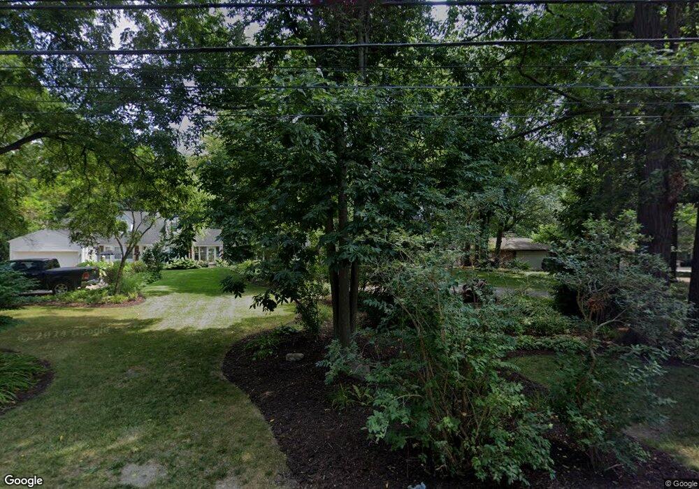
21005 Thorofare Rd Grosse Ile, MI 48138
Estimated Value: $378,000 - $443,000
4
Beds
2
Baths
1,660
Sq Ft
$244/Sq Ft
Est. Value
About This Home
This home is located at 21005 Thorofare Rd, Grosse Ile, MI 48138 and is currently estimated at $404,903, approximately $243 per square foot. 21005 Thorofare Rd is a home located in Wayne County with nearby schools including St. Cyprian Elementary School.
Ownership History
Date
Name
Owned For
Owner Type
Purchase Details
Closed on
Aug 18, 2010
Sold by
Mitchell Phil and Mitchell Joan
Bought by
Milewski Mark T and Milewski Lorri A
Current Estimated Value
Home Financials for this Owner
Home Financials are based on the most recent Mortgage that was taken out on this home.
Original Mortgage
$237,500
Outstanding Balance
$157,010
Interest Rate
4.54%
Mortgage Type
New Conventional
Estimated Equity
$247,893
Create a Home Valuation Report for This Property
The Home Valuation Report is an in-depth analysis detailing your home's value as well as a comparison with similar homes in the area
Home Values in the Area
Average Home Value in this Area
Purchase History
| Date | Buyer | Sale Price | Title Company |
|---|---|---|---|
| Milewski Mark T | $250,000 | Michigan Title Insurance Age |
Source: Public Records
Mortgage History
| Date | Status | Borrower | Loan Amount |
|---|---|---|---|
| Open | Milewski Mark T | $237,500 |
Source: Public Records
Tax History Compared to Growth
Tax History
| Year | Tax Paid | Tax Assessment Tax Assessment Total Assessment is a certain percentage of the fair market value that is determined by local assessors to be the total taxable value of land and additions on the property. | Land | Improvement |
|---|---|---|---|---|
| 2025 | $2,335 | $186,800 | $0 | $0 |
| 2024 | $2,335 | $165,000 | $0 | $0 |
| 2023 | $2,671 | $154,400 | $0 | $0 |
| 2022 | $6,217 | $145,600 | $0 | $0 |
| 2021 | $5,947 | $144,700 | $0 | $0 |
| 2019 | $5,898 | $136,900 | $0 | $0 |
| 2018 | $2,536 | $134,900 | $0 | $0 |
| 2017 | $6,550 | $130,800 | $0 | $0 |
| 2016 | $5,796 | $124,800 | $0 | $0 |
| 2015 | $12,370 | $123,700 | $0 | $0 |
| 2013 | $12,370 | $126,300 | $0 | $0 |
| 2012 | $2,604 | $121,300 | $49,000 | $72,300 |
Source: Public Records
Map
Nearby Homes
- 21071 Thorofare Rd
- 21321 Knudsen Dr
- 21438 Meridian Rd
- 21644 Knudsen Dr
- 9447 Whitall Ln
- 0 West River Unit 20250008619
- 21819 Meridian Rd
- 21599 Parke Ln
- 22133 Meridian Rd
- 21604 E River Rd
- 22015 Ember Ct
- 8614 Island Blvd
- 9281 Island Dr
- 8232 Island Blvd
- 7806 Island Blvd
- 22220 E River Rd
- 8415 Bridge Rd
- 22271 W River Rd
- 9020 Bridge Rd
- 1935 Church Place
- 20985 Thorofare Rd
- 21033 Thorofare Rd
- 20965 Thorofare Rd
- 20939 Thorofare Rd
- 21061 Thorofare Rd
- 20990 Thorofare Rd
- 20964 Thorofare Rd
- 20940 Thorofare Rd
- 9088 Highland Dr
- 20886 Thorofare Rd
- 20885 Thorofare Rd
- 21060 Thorofare Rd
- 9128 Highland Dr
- 21084 Thorofare Rd
- 21115 Thorofare Rd
- 21238 Knudsen Dr
- 21220 Knudsen Dr
- 21260 Knudsen Dr
- 21204 Knudsen Dr
- 20866 Thorofare Rd
