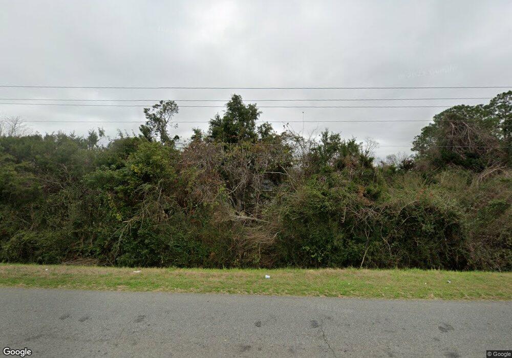
2101 Clay Rd Valdosta, GA 31601
Estimated Value: $162,000 - $303,000
--
Bed
1
Bath
782
Sq Ft
$262/Sq Ft
Est. Value
About This Home
This home is located at 2101 Clay Rd, Valdosta, GA 31601 and is currently estimated at $205,069, approximately $262 per square foot. 2101 Clay Rd is a home located in Lowndes County with nearby schools including Moulton-Branch Elementary School, Lowndes Middle School, and Lowndes High School.
Ownership History
Date
Name
Owned For
Owner Type
Purchase Details
Closed on
Oct 31, 1994
Bought by
Hardnett Alphonso
Current Estimated Value
Create a Home Valuation Report for This Property
The Home Valuation Report is an in-depth analysis detailing your home's value as well as a comparison with similar homes in the area
Home Values in the Area
Average Home Value in this Area
Purchase History
| Date | Buyer | Sale Price | Title Company |
|---|---|---|---|
| Hardnett Alphonso | $5,500 | -- |
Source: Public Records
Tax History Compared to Growth
Tax History
| Year | Tax Paid | Tax Assessment Tax Assessment Total Assessment is a certain percentage of the fair market value that is determined by local assessors to be the total taxable value of land and additions on the property. | Land | Improvement |
|---|---|---|---|---|
| 2024 | $1,336 | $66,017 | $12,563 | $53,454 |
| 2023 | $1,336 | $65,195 | $11,741 | $53,454 |
| 2022 | $1,198 | $48,977 | $11,741 | $37,236 |
| 2021 | $1,251 | $48,977 | $11,741 | $37,236 |
| 2020 | $1,162 | $48,977 | $11,741 | $37,236 |
| 2019 | $1,174 | $48,977 | $11,741 | $37,236 |
| 2018 | $1,186 | $48,977 | $11,741 | $37,236 |
| 2017 | $1,176 | $47,910 | $10,674 | $37,236 |
| 2016 | $1,104 | $45,236 | $8,000 | $37,236 |
| 2015 | -- | $45,236 | $8,000 | $37,236 |
| 2014 | $1,080 | $45,236 | $8,000 | $37,236 |
Source: Public Records
Map
Nearby Homes
- 1411 Willie Houseal Dr
- 1301 Bethune St
- 10 Lavista Cir
- 1306 Bethune St
- 1302 Bethune St
- 1314 Partridge Place
- 1412 San Bernardino Way
- 4 Martin Luther King jr Cir
- 703 New Hudson St
- 914 Bethune St
- 0 Howell Rd
- 0 New Statenville Hwy
- 420 Griffin Ave
- 5604 Pasadena Way
- 3.93 Inner Perimeter Rd
- 11.92 Ac Inner Perimeter Rd
- 30.77 Inner Perimeter Rd
- 200 Deloach St
- 201 Cummings Place
- 0 Hampton Ln
- 1135 Howell Rd
- 1141 Howell Rd
- 3.93 Perimeter Rd and Statenville Hwy
- 1159 Howell Rd
- 1105 Sims Ln
- 1141 Sims Ln
- 1155 Sims Ln
- 1175 Howell Rd
- 1185 Howell Rd
- 1154 Howell Rd
- 1174 Sims Ln
- 1176 Howell Rd
- 1158 Sims Ln
- 1138 Sims Ln
- 1286 Old Statenville Rd
- 1199 Howell Rd
- 1194 Howell Rd
- 1136 Howell Rd
- 1013 Clifton Dr
- 1312 Statenville Rd
